Karabakh Map
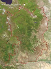
The Nagorno-Karabakh Republic (Artsakh) from space
29 miles away
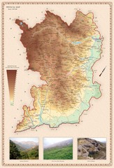
Karabakh Map
Physical Map of the Nagorno-Karabakh Republic (Artsakh)
29 miles away
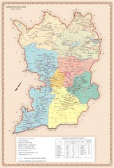
Karabakh Map
Administrative Map of the Nagorno-Karabakh Republic (Artsakh)
29 miles away
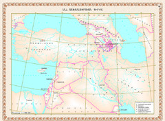
Karabakh Map
Geographic Location of the Nagorno-Karabakh Republic (Artsakh)
29 miles away
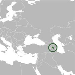
Nagorno-Karabakh Republic on the Map
The Nagorno-Karabakh Republic on the Regional Map
29 miles away
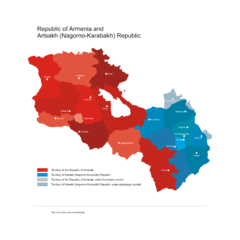
Armenia & Karabakh Vector Map
Map of the Republic of Armenia and the Nagorno-Karabakh Republic (Artsakh)
29 miles away
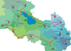
Armenia & Karabakh "Gold Circle" Map
Map of Tourist Attractions in Armenia & Nagorny Karabakh
29 miles away

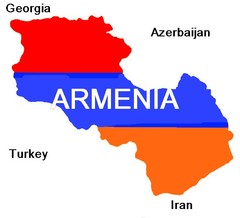
Armenia Map
Map of the Republic of Armenia and the Nagorno Karabakh Republic (Artsakh)
29 miles away

Stepanakert Town Map
Town Plan of Stepanakert - capital of the Nagorno-Karabakh Republic (Artsakh)
29 miles away
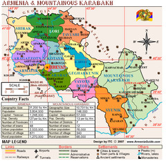
Armenia & Nagorny Karabakh Map
Map of Armenia & Nagorny Karabakh (Artsakh)
29 miles away

Armenia & Karabakh Land Map
Land Map of the Republic of Armenia and the Nagorno-Karabakh Republic (Artsakh)
29 miles away

Armenia & Karabakh Geomorphological Map
29 miles away
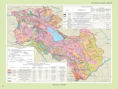
Armenia & Karabakh Geotechnical Map
Geotechnical Map of the Republic of Armenia and the Nagorno-Karabakh Republic (Artsakh)
29 miles away
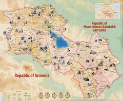
Historical Monuments of Armenia and Nagorny...
Map of Armenian Historical Monuments of the Republic of Armenia (Ararat Republic) and the Nagorno...
29 miles away
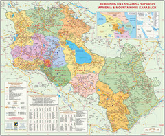
Map of the Republic of Armenia and the Nagorno...
Map of modern Armenian states - the Republic of Armenia and the Nagorno-Karabakh Republic (Artsakh)
29 miles away
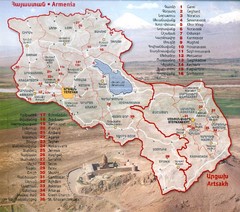
Armenia and Nagorny Karabakh Map
Map of Armenian states - the Republic of Armenia and the Nagorno-Karabakh Republic
29 miles away
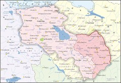
Republic of Armenia and Nagorno-Karabakh Republic...
Map of the Republic of Armenia and the Nagorno-Karabakh Republic (Artsakh)
29 miles away
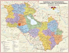
Administrative Map of Armenia & Nagorny...
Administrative Map of the Republic of Armenia and the Nagorno-Karabakh Republic
29 miles away
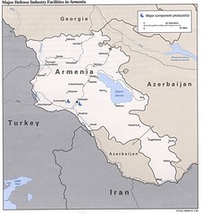
Armenia Defense Facilities Map
Map of major defense industry facilities in Armenia
29 miles away
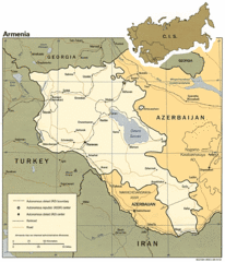
Armenia Map
Map of Armenia showing cities, roads and railways as well as international boundaries.
29 miles away
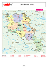
Armenia Regional Map
Country map with detail of regional divides
33 miles away

Administrative Division of Armenia Map
Administrative Division of the Republic of Armenia
34 miles away
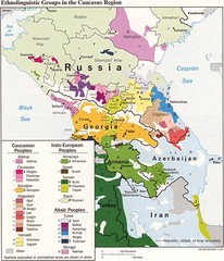
Ethnolinguistics in Caucus Region Map
37 miles away
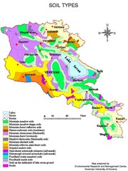
Armenian soil types Map
40 miles away
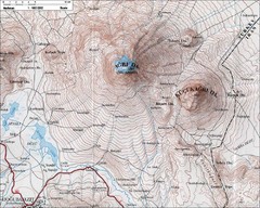
Mt. Ararat Topo Map
40 miles away
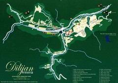
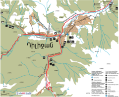
Dilijan Tourist Map
Tourist Map of Dilijan Town in Armenia
41 miles away
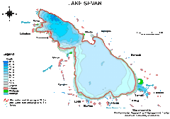
Lake Sevan water levels Map
46 miles away

Stepanavan Armenia Tourist Map
Tourist map for Stepanavan, Armenia showing streets and tourist attractions.
56 miles away
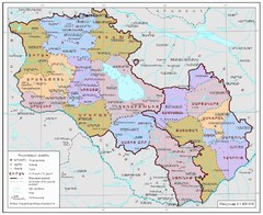
Map of Armenia and Nagorny Karabakh
Map of Armenian states - the Republic of Armenia and the Nagorno-Karabakh Republic
58 miles away
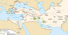
Achaemenid Empire Guide Map
60 miles away
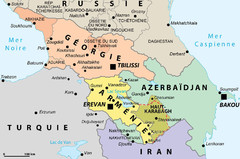
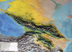
Political Map of the South Caucasus
Political Map of the South Caucasus
67 miles away
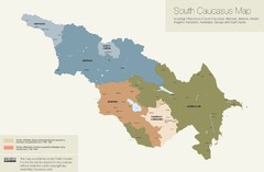
Political Map of the South Caucasus
True Map of the South Caucasus
77 miles away
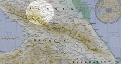
Partial Caucasus Region Map
Russia, Georgia and Azerbaijan detail map highlighting the Elbrus mountain region. Map shows roads...
83 miles away
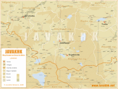
Samtskhe-Javakheti Province Map
Southeast Georgia
97 miles away
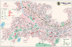
Tbilisi Tourist Map
Tourist map of Tbilisi, Georgia. Shows points of interest, hotels and inset of metro.
105 miles away
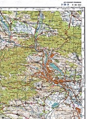
Tbilisi Topographic Map
Tbilisi Topographic Map. Note: This map is not in English.
105 miles away
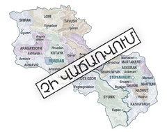
Armenian Lands Are Not For Sale Map
Holy lands of the Armenian states - the Republic of Armenia (Ararat Republic) and the Nagorno...
107 miles away

