Bácstopolya Map
1340 miles away
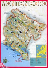
Montenegro tourist Map
1340 miles away
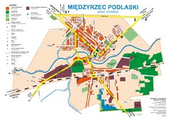
Miedzyrzec Podlaski Location Map (polish)
1340 miles away

Bács-Bodrog vármegye Map
1341 miles away
Szabadka belváros Map
1341 miles away

Montenegro Tourist Map
1342 miles away
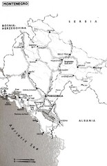
Montenegro Map
1342 miles away

Vologda Map
1343 miles away
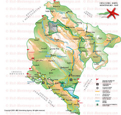
Montenegro Tourist Map
1343 miles away

Vologda Map
1343 miles away
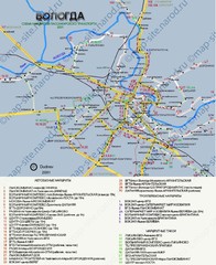
Vologda Map
1343 miles away

Vologda Map
1343 miles away

Vologda Map
1344 miles away
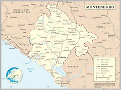
Montenegro map
1346 miles away
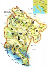
Montenegro tourist map
Illustrated tourist map of Montenegro.
1348 miles away

Bácskossuthfalva Map
1348 miles away
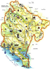
Montenegro Tourist Map
Tourist Map of Montenegro identifing tourist sites, roads and cities.
1350 miles away
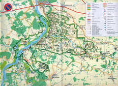
Kazimierski Landscape Park Map
Part of one of main ecological corridors in Europe enabling the birds to nest and migrate.
1351 miles away
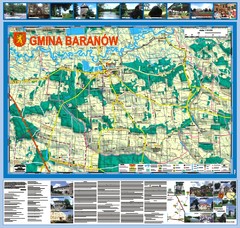
Baranow count wall map, PL Map
Baranow commune in Pulawy county, PL 3D big size wall map, surrounded by photos from Baranow area...
1351 miles away

Bajmok Map
1352 miles away

Central Balkan Map
Countries in Central Europe
1352 miles away
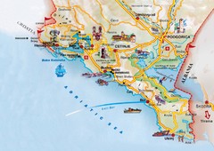
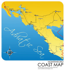
Montenegro coastal Map
1353 miles away
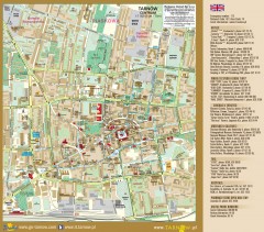
Tarnow Tourist Map
Tourist map of the center of Tarnow, Poland
1353 miles away
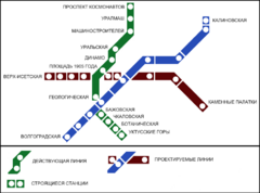
Yekaterinburg Metro Map
Clear map of Yekaterinburg's metro lines.
1355 miles away
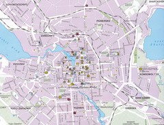
Yekaterinburg City Map
Large and detailed map marking roads and points of interest.
1355 miles away

Bács Map
1355 miles away
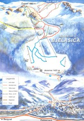
Bjelasica Ski Trail Map
Trail map from Bjelasica.
1356 miles away
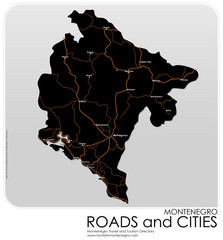
Montenegro Roads and Cities Map
Simple Map of Roads and Cities in Montenegro
1356 miles away
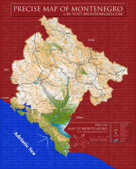
Montenegro precise Map
1358 miles away

Drohiczyn Podlaskie Kayak Map
Kayak trips on the bug river highlighted on the map of Drohiczyn, Podlaskie, Poland.
1359 miles away
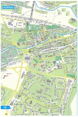
Poprad Tourist Map
Tourist map of Poprad, Slovakia. Shows points of interest.
1360 miles away
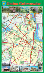
GNIEWOSZOW commune map, PL Map
Gniewoszow commune map Ed. 2007
1361 miles away
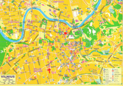
Vilnius Map Big
1361 miles away
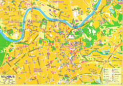
Vilnius Tourist Map
Tourist map of central Vilnius, Lithuania. Shows hotels, museums, and other points of interest.
1361 miles away
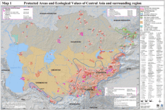
Central Asia Protected Areas Map
UNEP map of protected areas and ecological values in Central Asia and surrounding region.
1362 miles away
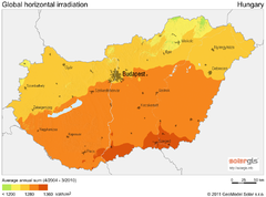
Solar Radiation Map of Hungary
Solar Radiation Map Based on high resolution Solar Radiation Database: SolarGIS. On the Solar Map...
1362 miles away
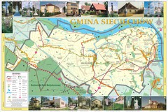
Sieciechow, Poland, Mazovia Map
Sieciechow commune map, Mazovia, PL
1365 miles away
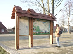
Sieciechow commune street map, PL Map
Sieciechow commune - street map Ed. 2007 Size 2000 x 1000 mm Type: administratie and touristic map
1366 miles away
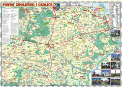
Zwolen_county_folded_map_POLAND Map
Zwolen county, paper folded map Scale 1: 70 000 Projection UTM/WGS84, GPS compatibile verified...
1366 miles away

