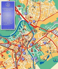
Nitra City Map
City map of central Nitra, Slovakia
1415 miles away
![AFG Afghanistan_pop72[1] Map AFG Afghanistan_pop72[1] Map](/maps/AFG-Afghanistanpop721-Map.thumb.jpg)
AFG Afghanistan_pop72[1] Map
1418 miles away
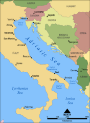
Adriatic Sea Tourist Map
1419 miles away
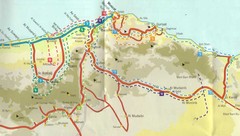
Masqat region Map
1420 miles away
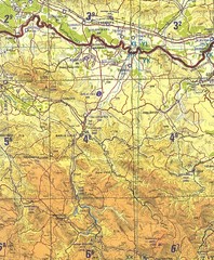
Banja Luka Region Map
1422 miles away
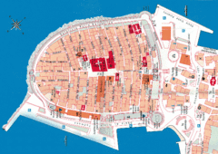
Korcula Tourist Map
Tourist map of old town Korcula, Croatia
1423 miles away
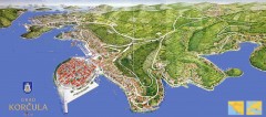
Korcula Tourist Map
Panoramic tourist map of town of Korcula, Croatia and surroundings. From korculainfo.com: "...
1423 miles away

Elevation Profile for Klasik Route Map
Elevation Profile for Klasik Route Map for 2008 for Dubnicky Marathon
1423 miles away

Red Sea Topography Map
1423 miles away

Oman physical Map
1423 miles away
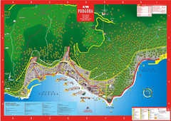
Podgora map
1425 miles away
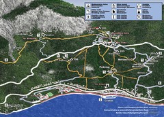
Tucepi Tourist Map
1426 miles away
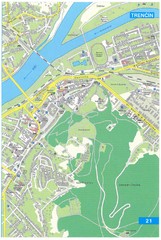
Trencin Tourist Map
Tourist map of Trencin, Slovakia. Shows points of interest.
1427 miles away
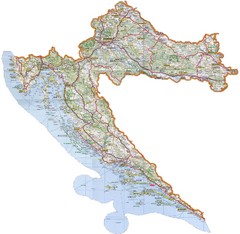
Croatia Tourist Map
Map of Croatia's roads, cities, and areas
1427 miles away
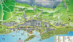
Makarska Tourist Map
1428 miles away
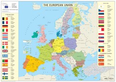
European Union Member States Map
Shows all member states and years joined. Also shows candidate states.
1430 miles away

Canyon Reef Map
Dving map of Canyon Reef, Farasan Banks, Saudi Arabia. Farasan Banks is an extensive shoal of...
1431 miles away
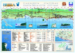
Brela Tourist Map
Tourist map of Brela, Croatia. Shows street index and list of hotels.
1432 miles away
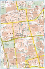
Lódź Tourist Map
Tourist map of central Lódź, Poland. Shows points of interest.
1434 miles away
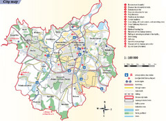
Ostrava Tourist Map
Tourist map of Ostrava, Czech Republic. Shows points of interest.
1435 miles away
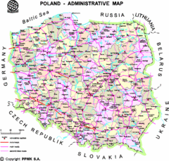
Poland Map
Map of Poland that includes all freeways, cities, districts and surrounding countries.
1438 miles away

Island of Hvar Map
Map of the Island Hvar, Croatia showing roads and cities.
1440 miles away

Hvar Island Map
Nautical map of the island of Hvar. Town of Sucuraj highlighted.
1440 miles away
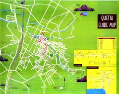
Quetta City Map
City map of Quetta, Pakistan. Shows major streets.
1441 miles away
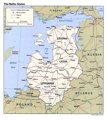
Baltic States Map
Guide to the Baltic states of Lithuania, Latvia and Estonia
1445 miles away
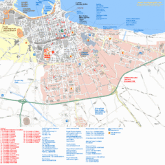
Bari Tourist Map
Tourist map of Bari, Italy. Shows consulates and points of interest.
1446 miles away
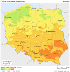
Solar Radiation Map of Poland
Solar Radiation Map Based on high resolution Solar Radiation Database: SolarGIS. On the Solar Map...
1451 miles away
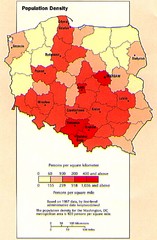
Poland Population Density Map
Map of Poland's population density
1451 miles away
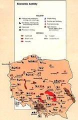
Poland Economic Activity Map
Map of Poland's economic activity
1451 miles away

Poland Map
Map of Poland showing major roads, railroads, cities and boundaries.
1451 miles away
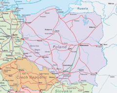
Interrail Routes in Central Europe Map
Map shows railway routes for Poland, Germany, Czech Republic and Slovakia.
1451 miles away

Poland Country Map
CIA Atlas of Eastern Europe - PCL Map Collection, University of Texas at Austin.
1451 miles away
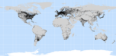
World Railways Map
Railways and transportation around the world
1451 miles away
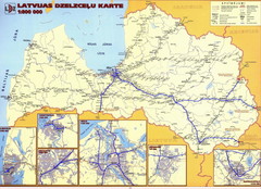
Latvia railroads Map
1451 miles away
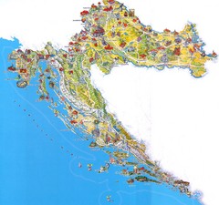
Tourist Map of Croatia
1452 miles away
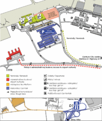
Bratislava Airport Map
1452 miles away
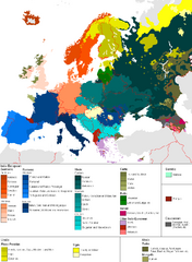
Languages of Europe Map
A map of the languages in Europe and where they originate.
1453 miles away
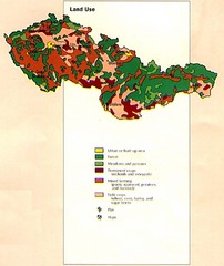
Czechoslovakia Land Use Map
Map of Czechoslovakia region land use
1454 miles away

