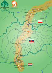
Amber Trail Budapest-Krakow Map
Amber Trail map showing the trail from Budapest to Krakow where you will see several heritage sites.
1359 miles away
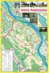
Magnuszew Commyne - Touristic map
Magnuszew commune - touristic, folded map.
1361 miles away
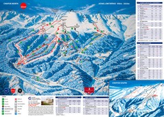
Jasná Ski Trail Map
Trail map from Jasná.
1361 miles away
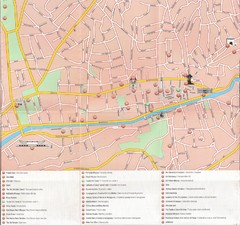
Sarajevo Downtown Map
Free tourist map of downtown Sarajevo from Sarajevo Navigator Brochure
1361 miles away
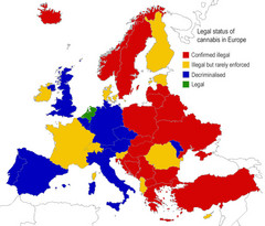
Legal Status of Cannabis in Europe Map
Shows legal status of marijuana in each European country.
1361 miles away
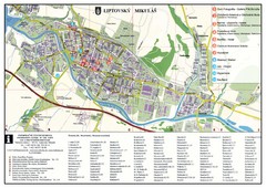
Liptovsky Mikulas Tourist Map
Tourist map of Liptovsky Mikulas, Slovakia
1362 miles away
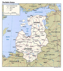
Baltic States Map
1363 miles away
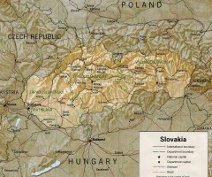
Slovakia country map
Map of Slovakia with surrounding countries. Shows boundaries, major cities, and shaded with...
1364 miles away
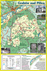
Grabow nad Pilica commune map
Grabow nad Pilica commune map Ed. 2006
1364 miles away
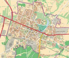
Mińsk Mazowiecki City Map
City map of Mińsk Mazowiecki, Poland
1366 miles away
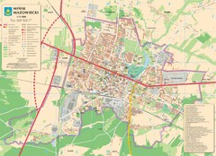
Minsk Tourist Map
Tourist map of Minsk, Poland. In Polish.
1366 miles away
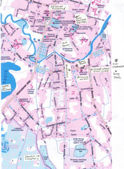
Rezekne Tourist City Map
1368 miles away
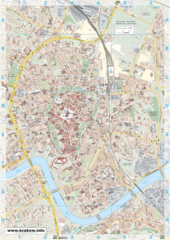
Krakow City Map
City map of central Krakow, Poland.
1370 miles away
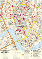
Krakow Tourist Map
Tourist map of central Krakow, Poland. Shows tourist routes and site of historic interest.
1370 miles away
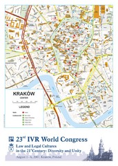
Krakow Map
Map of the city of Krakow. Includes streets, buildings, hotels, and parks.
1370 miles away
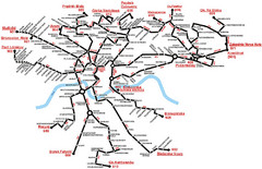
Krakow Bus Routes Map
1370 miles away
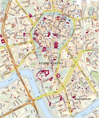
Krakow Tourist Map
1370 miles away
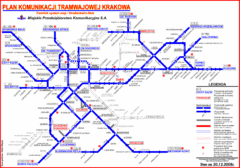
Cracow Tramlink Map (Polish)
1370 miles away
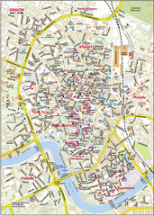
Krakow City Center Map
1370 miles away
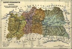
1910 Hungarian Map
Guide to area of Slovakia, previously part of Hungary
1371 miles away
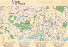
Cracow City Map
City map of Cracow with hotels
1371 miles away
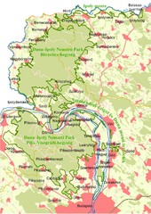
Duna-Ipoly Nemzeti Park Map
Overview map of Duna-Ipoly Nemzeti Park (Danube-Ipoly National Park) north of Budapest, Hungary
1372 miles away
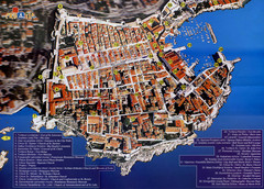
Old Town Dubrovnik Tourist Map
Tourist map of old town Dubrovnik, Croatia. Shows churches, forts, squares, and other points of...
1374 miles away
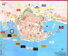
Dubrovnik Map
1374 miles away
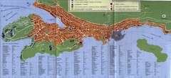
Dubrovnik City Map
City map of Dubrovnik, Croatia. Street index and shows services. Scanned.
1375 miles away
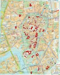
Staremiasto Map
Staremiasto City Map
1375 miles away
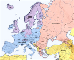
Traditional European Religious Majorities by...
Shows the traditional religious majorities by region in Europe.
1375 miles away
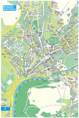
Banska Bystrica Tourist Map
Tourist map of central Banska Bystrica, Slovakia. Shows points of interest. Scanned.
1375 miles away
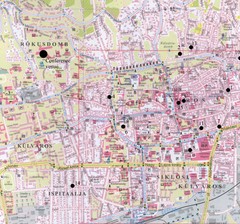
Pecs City Map
1380 miles away
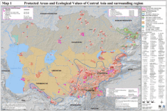
Central Asia Protected Areas Map
UNEP map of protected areas and ecological values in Central Asia and surrounding region.
1381 miles away
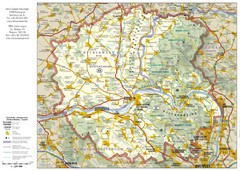
Duna-Ipoly Nemzeti National Park Map
Reference map of Duna-Ipoly Nemzeti National Park and surrounding area north of Budapest, Hungary
1382 miles away

Slavonski Brod Tourist Map
Map of Slavonski Brod, Croatia showing streets, hotels, restaurants and tourist attractions.
1383 miles away
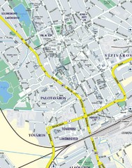
Székesfehérvár City Map
City Map of Székesfehérvár
1384 miles away
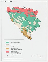
Bosnia and Herzegovina Land Use Map
Map of Bosnia's land use
1384 miles away
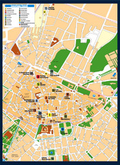
Lecce Tourist Map
Tourist map of historic center of Lecce, Italy. Shows points of interest.
1385 miles away

Kirillov Map
1386 miles away
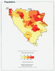
Bosnia and Herzegovina Population Density Map
Map of Bosnia and Herzegovina's population density
1386 miles away
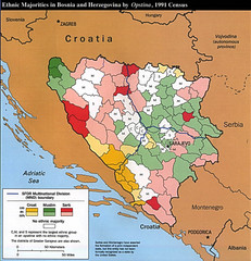
Ethnic Majorities in Bosnia and Herzegovina Map
1387 miles away
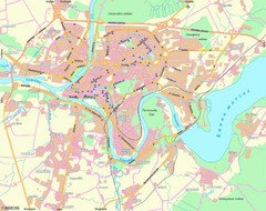
Kaunas Map
City map of Kaunus, Lithiania
1388 miles away

