Central Balkan Map
Countries in Central Europe
1323 miles away
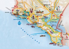
Montenegro coastal Map
1324 miles away
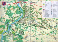
Kazimierski Landscape Park Map
Part of one of main ecological corridors in Europe enabling the birds to nest and migrate.
1324 miles away
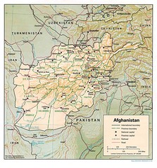
Afghanistan Map
Guide to Afghanistan and surrounds
1324 miles away
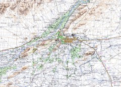
Kandahar Area Topo Map
Topo map of Kandahar, Afghanistan.
1324 miles away
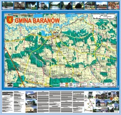
Baranow count wall map, PL Map
Baranow commune in Pulawy county, PL 3D big size wall map, surrounded by photos from Baranow area...
1324 miles away
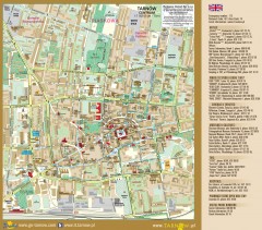
Tarnow Tourist Map
Tourist map of the center of Tarnow, Poland
1326 miles away

Bács Map
1326 miles away
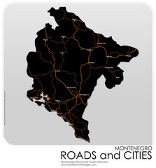
Montenegro Roads and Cities Map
Simple Map of Roads and Cities in Montenegro
1327 miles away
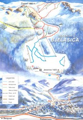
Bjelasica Ski Trail Map
Trail map from Bjelasica.
1327 miles away
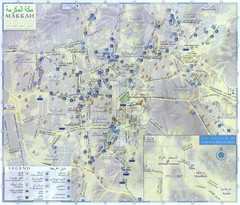
Mecca City Map
City map of Muslim holy city of Mecca, Saudi Arabia (Al Makkah). Shows mosques and other points of...
1328 miles away
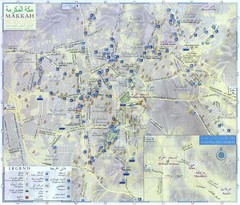
Makkah City Map
City map of Makkah with information and attractions
1328 miles away
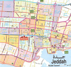
Jeddah city Map
1328 miles away
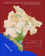
Montenegro precise Map
1329 miles away

Vologda Map
1330 miles away

Vologda Map
1330 miles away
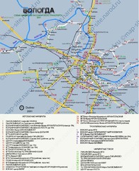
Vologda Map
1330 miles away

Vologda Map
1330 miles away

Vologda Map
1331 miles away
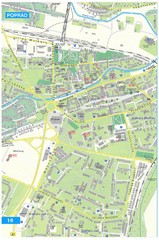
Poprad Tourist Map
Tourist map of Poprad, Slovakia. Shows points of interest.
1332 miles away
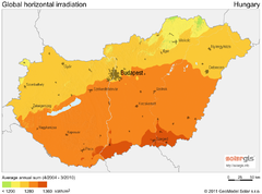
Solar Radiation Map of Hungary
Solar Radiation Map Based on high resolution Solar Radiation Database: SolarGIS. On the Solar Map...
1333 miles away

Drohiczyn Podlaskie Kayak Map
Kayak trips on the bug river highlighted on the map of Drohiczyn, Podlaskie, Poland.
1333 miles away
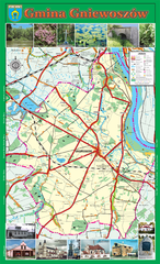
GNIEWOSZOW commune map, PL Map
Gniewoszow commune map Ed. 2007
1334 miles away
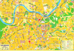
Vilnius Map Big
1337 miles away
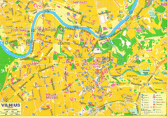
Vilnius Tourist Map
Tourist map of central Vilnius, Lithuania. Shows hotels, museums, and other points of interest.
1338 miles away

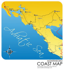
Montenegro Coast Map
Panoramic map of the coast of Montenegro on the Adriatic Sea.
1339 miles away
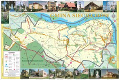
Sieciechow, Poland, Mazovia Map
Sieciechow commune map, Mazovia, PL
1339 miles away
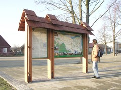
Sieciechow commune street map, PL Map
Sieciechow commune - street map Ed. 2007 Size 2000 x 1000 mm Type: administratie and touristic map
1339 miles away
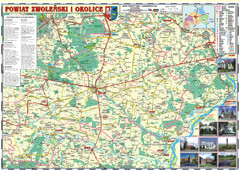
Zwolen_county_folded_map_POLAND Map
Zwolen county, paper folded map Scale 1: 70 000 Projection UTM/WGS84, GPS compatibile verified...
1339 miles away
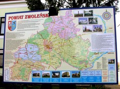
Zwolen county street map
Zwolen county - street map Big size 200 x 300 cm waterproof map
1339 miles away
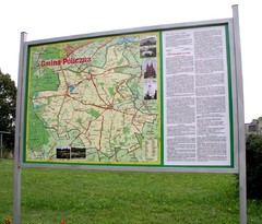
Policzna_Zwolen_Poland.jpg Map
Map of Policzna_Zwolen_Poland.jpg is another "all-proof" street map. 5 years on site...
1340 miles away
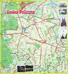
Policzna Commune Street Map
POLICZNA Commune, street map Ed. 2008 Size 2000 x 1250 mm Waterproof print-out verified for...
1341 miles away
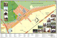
Garbatka_Letnisko_Poland.jpg Map
Map of Garbatka_Letnisko_Poland.jpg is a "city-village" plan. I do love to enter photos...
1341 miles away
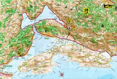
Kotor Bay Tourist Map
Tourist Map of Bay of Kotor, Montenegro.
1346 miles away
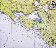
Bay of Boka Map
1346 miles away
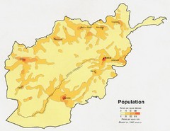
Afghanistan Population Map
1347 miles away
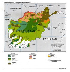
Afghanistan Entholinguistic Map
1347 miles away
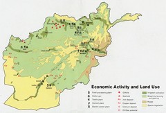
Afghanistan Economic and Land Use Tourist Map
1347 miles away
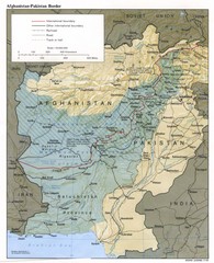
Afghanistan-Pakistan Border Map
1347 miles away

