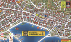
Zakynthos Town Map
Detailed tourist map of Zakynthos Town, Zakynthos Island, Greece. Shows businesses.
1277 miles away
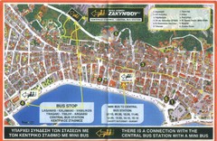
Zakynthos City Tourist Map
Tourist map of Zakynthos city on Zakynthos Island. Shows major points of interest and bus routes...
1277 miles away
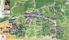
Kalamaki Zakynthos Tourist Map
Tourist map of town of Kalamaki on Zakynthos Island. Scanned.
1277 miles away
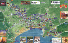
Tsilivi Tourist Map
Tourist map of town of Tsilivi, Zakynthos Island, Greece. Shows businesses. Scanned
1277 miles away
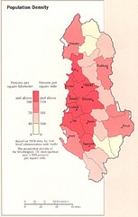
Albania Population Map
Population density map of Albania
1278 miles away

World Web Map 2007
The World Web Map is based on the 2007 websites world classification carried out by Alexa and...
1279 miles away
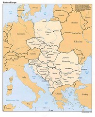
Eastern European Map
Map of Eastern Europe, Poland to Bulgaria
1281 miles away
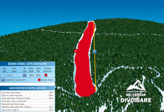
Ski Centar Divcibare Ski Trail Map
Trail map from Divcibare.
1281 miles away
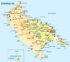
Zakinthos Tourist Map
Tourist map of island of Zakinthos, Greece. Shows symbols for tourist activities.
1281 miles away
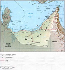
United Arab Emirates Country Map
1282 miles away
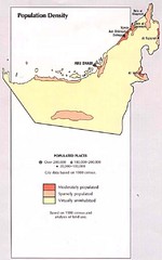
United Arab Emirates Population Map
Map marking population density.
1282 miles away
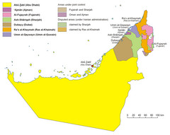
United Arab Emirates Country Map
Countries defined by colors in UAE map.
1282 miles away
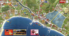
Alykanas and Alykes Map
Tourist map of Alykanas and Alykes, Zakynthos Island, Greece. Shows businesses.
1282 miles away
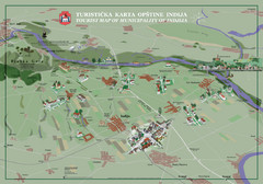
Indija Tourist Map
Tourist map of municipality of Indija, Serbia
1282 miles away
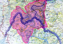
Proposed Balkans Peace Park Map
Shows the proposed Balkans Peace Park area which includes Albania to the South, Kosovo to the...
1282 miles away
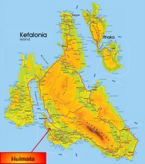
Kefalonia Map
1283 miles away
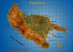
Zakynthos Tourist Map
Tourist map of island of Zakynthos, Greece. Shows points of interest. Scanned.
1283 miles away
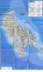
Zakynthos Island Map
Detailed map of Zakynthos Island. Scanned
1283 miles away
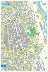
Kosice Tourist Map
Tourist map of Kosice, Slovakia. Shows points of interest.
1283 miles away
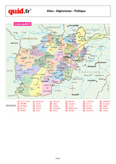
Afghanistan Provinces Map
Map of Afghanistan, with detail of province divisions
1284 miles away
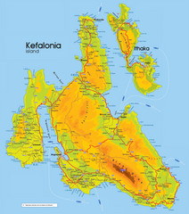
Kefalonia and Ithaka Map
Detailed elevation map of islands of Kefalonia and Ithaka (Ithaki), Greece
1285 miles away
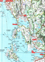
Igoumenitsa to Patras Travel Map
1285 miles away
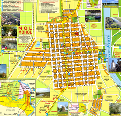
Mohol Map
1286 miles away
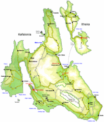
Kefalonia and Ithaka Overview Map
Overview map of the islands of Kefalonia and Ithaka (Ithaki), Greece.
1286 miles away
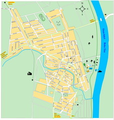
Ada város Map
1287 miles away
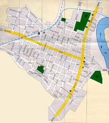
Péterréve Map
1288 miles away

Bácsföldvár Map
1289 miles away
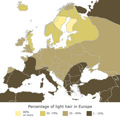
Europe Blond Hair Map
Shows percentage of light hair in Europe.
1289 miles away
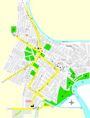
Óbecse Map
1290 miles away
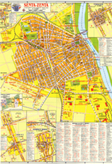
Zenta Map
1291 miles away

Szeged Public Transportation Map (Hungarian)
1291 miles away
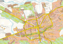
Tirane City Tourist Map
Information, hospitals and places of interest.
1291 miles away
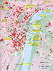
Szeged Tourist Map
Tourist map of central Szeged, Hungary. Shows points of interest.
1291 miles away
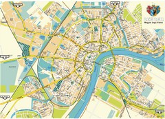
Szeged Map
Map of central Szeged, Hungary
1291 miles away
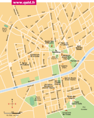
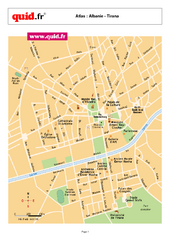
Tirana Map
1292 miles away
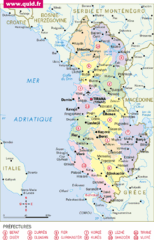
albanie Map
1292 miles away
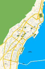
Argostoli City Map
Simple street map of island city of Argostoli, Kefalonia, Greece. Some points of interest shown.
1292 miles away

