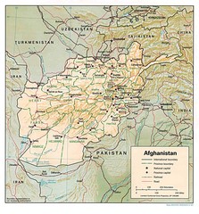
Afghanistan Map
Guide to Afghanistan and surrounds
1295 miles away
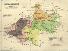
Csanád vármegye Map
1298 miles away

World Web Map 2007
The World Web Map is based on the 2007 websites world classification carried out by Alexa and...
1299 miles away

Mediterranean 2001 tectonics & kinematics Map
1299 miles away
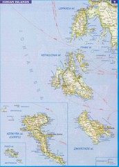
Ionian Islands Map
Overview map of the Greek Ionian Islands including Lefkada, Kefalonia, Zakynthos, Corfu, and Paxo...
1303 miles away
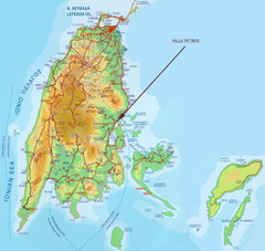
Lefkada Tourist Map
Tourist map of island of Lefkada, Greece.
1303 miles away
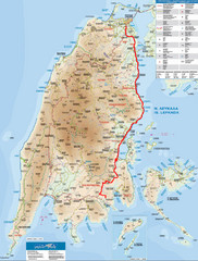
Lefkada Tourist Map
Tourist map of Ionian island of Lefkada, Greece. Shows points of interest. Also shows island of...
1303 miles away
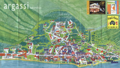
Argassi Tourist Map
Tourist map of Argassi, Zakynthos Island, Greece. Shows all businesses. Scanned.
1303 miles away
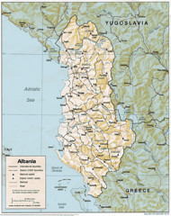
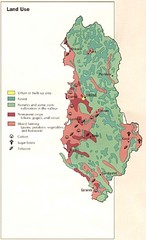
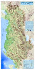
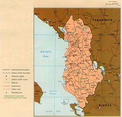
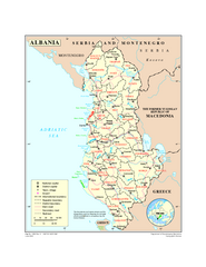
Albanian map
1304 miles away
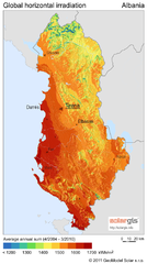
Solar Radiation Map of Albania
Solar Radiation Map Based on high resolution Solar Radiation Database: SolarGIS. On the Solar Map...
1304 miles away
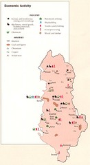
Albania Economic Activity Map
Map of Albania's economic activity
1304 miles away
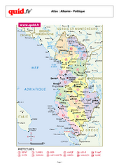
Albania Regional Map
Country map with detail of regional divides
1304 miles away
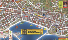
Zakynthos Town Map
Detailed tourist map of Zakynthos Town, Zakynthos Island, Greece. Shows businesses.
1305 miles away
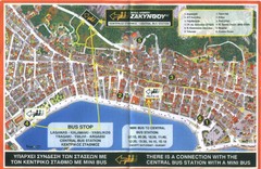
Zakynthos City Tourist Map
Tourist map of Zakynthos city on Zakynthos Island. Shows major points of interest and bus routes...
1305 miles away
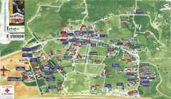
Kalamaki Zakynthos Tourist Map
Tourist map of town of Kalamaki on Zakynthos Island. Scanned.
1305 miles away
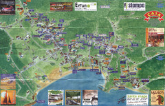
Tsilivi Tourist Map
Tourist map of town of Tsilivi, Zakynthos Island, Greece. Shows businesses. Scanned
1305 miles away

Danube River Basin by Maps Illustrated Map
Map from Diplomat magazine from an article on the economic region based on the Danube Basin
1305 miles away
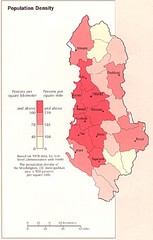
Albania Population Map
Population density map of Albania
1307 miles away
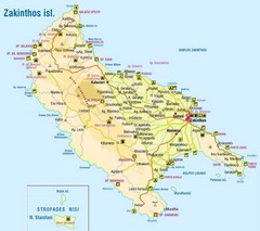
Zakinthos Tourist Map
Tourist map of island of Zakinthos, Greece. Shows symbols for tourist activities.
1309 miles away
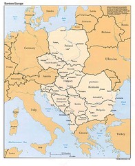
Eastern European Map
Map of Eastern Europe, Poland to Bulgaria
1309 miles away
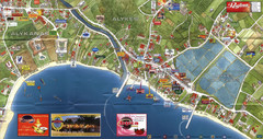
Alykanas and Alykes Map
Tourist map of Alykanas and Alykes, Zakynthos Island, Greece. Shows businesses.
1310 miles away
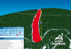
Ski Centar Divcibare Ski Trail Map
Trail map from Divcibare.
1310 miles away
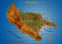
Zakynthos Tourist Map
Tourist map of island of Zakynthos, Greece. Shows points of interest. Scanned.
1310 miles away
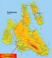
Kefalonia Map
1311 miles away
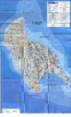
Zakynthos Island Map
Detailed map of Zakynthos Island. Scanned
1311 miles away
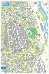
Kosice Tourist Map
Tourist map of Kosice, Slovakia. Shows points of interest.
1311 miles away
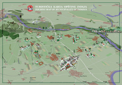
Indija Tourist Map
Tourist map of municipality of Indija, Serbia
1311 miles away
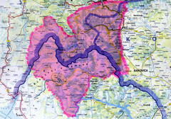
Proposed Balkans Peace Park Map
Shows the proposed Balkans Peace Park area which includes Albania to the South, Kosovo to the...
1312 miles away
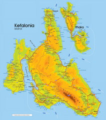
Kefalonia and Ithaka Map
Detailed elevation map of islands of Kefalonia and Ithaka (Ithaki), Greece
1313 miles away
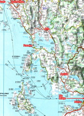
Igoumenitsa to Patras Travel Map
1313 miles away
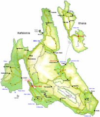
Kefalonia and Ithaka Overview Map
Overview map of the islands of Kefalonia and Ithaka (Ithaki), Greece.
1314 miles away
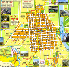
Mohol Map
1315 miles away
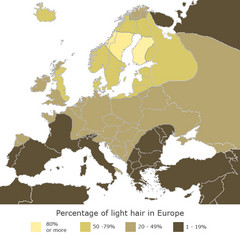
Europe Blond Hair Map
Shows percentage of light hair in Europe.
1315 miles away
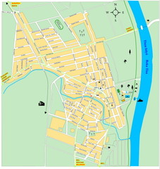
Ada város Map
1316 miles away
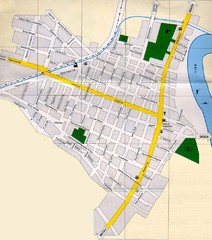
Péterréve Map
1317 miles away

