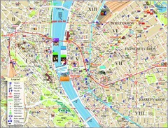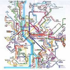
Budapest Public Transportation Map
1388 miles away
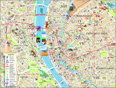
Budapest Tourist Map
Tourist map of central Budapest, Hungary. Shows theaters, museums, post offices, churches, and...
1388 miles away
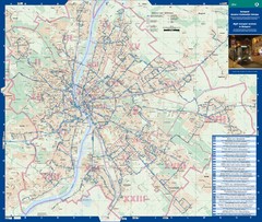
Budapest Night Bus Routes Map
Map of night bus routes in Budapest, Hungary
1388 miles away
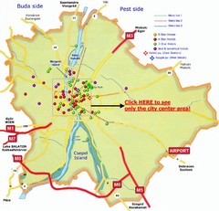
Budapest Hotel Map
1388 miles away
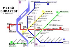
Budapest Metro Map
1388 miles away
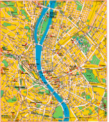
Budapest Tourist Map
1388 miles away
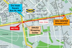
Local Budapest Tourist Map
Stores, main streets and locations in Central Budapest
1388 miles away
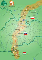
Amber Trail Budapest-Krakow Map
Amber Trail map showing the trail from Budapest to Krakow where you will see several heritage sites.
1388 miles away
![AFG Afghanistan_pop72[1] Map AFG Afghanistan_pop72[1] Map](/maps/AFG-Afghanistanpop721-Map.thumb.jpg)
AFG Afghanistan_pop72[1] Map
1389 miles away
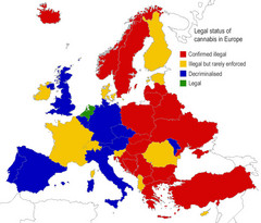
Legal Status of Cannabis in Europe Map
Shows legal status of marijuana in each European country.
1389 miles away
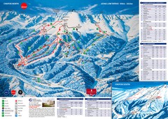
Jasná Ski Trail Map
Trail map from Jasná.
1389 miles away
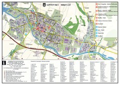
Liptovsky Mikulas Tourist Map
Tourist map of Liptovsky Mikulas, Slovakia
1390 miles away
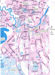
Rezekne Tourist City Map
1390 miles away
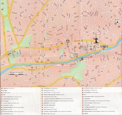
Sarajevo Downtown Map
Free tourist map of downtown Sarajevo from Sarajevo Navigator Brochure
1391 miles away
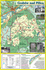
Grabow nad Pilica commune map
Grabow nad Pilica commune map Ed. 2006
1391 miles away
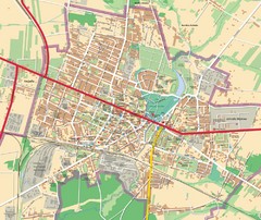
Mińsk Mazowiecki City Map
City map of Mińsk Mazowiecki, Poland
1392 miles away
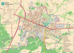
Minsk Tourist Map
Tourist map of Minsk, Poland. In Polish.
1392 miles away
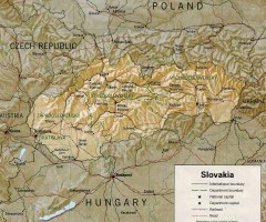
Slovakia country map
Map of Slovakia with surrounding countries. Shows boundaries, major cities, and shaded with...
1392 miles away
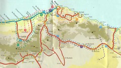
Masqat region Map
1395 miles away
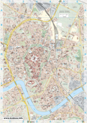
Krakow City Map
City map of central Krakow, Poland.
1397 miles away
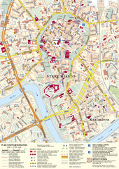
Krakow Tourist Map
Tourist map of central Krakow, Poland. Shows tourist routes and site of historic interest.
1397 miles away
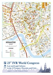
Krakow Map
Map of the city of Krakow. Includes streets, buildings, hotels, and parks.
1397 miles away
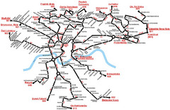
Krakow Bus Routes Map
1398 miles away
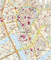
Krakow Tourist Map
1398 miles away
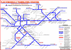
Cracow Tramlink Map (Polish)
1398 miles away
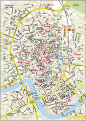
Krakow City Center Map
1398 miles away
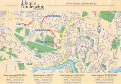
Cracow City Map
City map of Cracow with hotels
1399 miles away
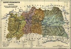
1910 Hungarian Map
Guide to area of Slovakia, previously part of Hungary
1399 miles away

Kirillov Map
1399 miles away

Oman physical Map
1399 miles away
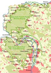
Duna-Ipoly Nemzeti Park Map
Overview map of Duna-Ipoly Nemzeti Park (Danube-Ipoly National Park) north of Budapest, Hungary
1401 miles away
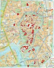
Staremiasto Map
Staremiasto City Map
1401 miles away
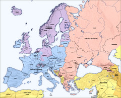
Traditional European Religious Majorities by...
Shows the traditional religious majorities by region in Europe.
1403 miles away
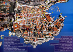
Old Town Dubrovnik Tourist Map
Tourist map of old town Dubrovnik, Croatia. Shows churches, forts, squares, and other points of...
1403 miles away
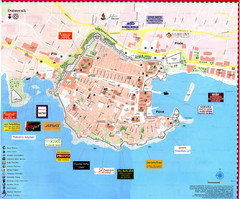
Dubrovnik Map
1404 miles away
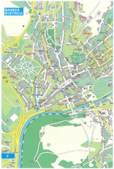
Banska Bystrica Tourist Map
Tourist map of central Banska Bystrica, Slovakia. Shows points of interest. Scanned.
1404 miles away
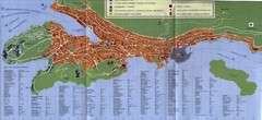
Dubrovnik City Map
City map of Dubrovnik, Croatia. Street index and shows services. Scanned.
1404 miles away
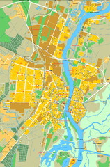
Novgorod Veliky Map
1409 miles away

