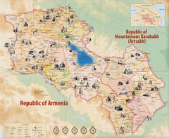
Historical Monuments of Armenia and Nagorny...
Map of Armenian Historical Monuments of the Republic of Armenia (Ararat Republic) and the Nagorno...
0 miles away
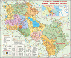
Map of the Republic of Armenia and the Nagorno...
Map of modern Armenian states - the Republic of Armenia and the Nagorno-Karabakh Republic (Artsakh)
0 miles away
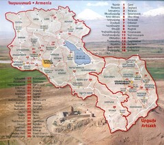
Armenia and Nagorny Karabakh Map
Map of Armenian states - the Republic of Armenia and the Nagorno-Karabakh Republic
0 miles away
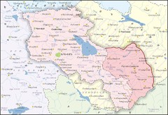
Republic of Armenia and Nagorno-Karabakh Republic...
Map of the Republic of Armenia and the Nagorno-Karabakh Republic (Artsakh)
0 miles away
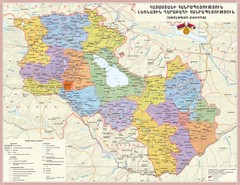
Administrative Map of Armenia & Nagorny...
Administrative Map of the Republic of Armenia and the Nagorno-Karabakh Republic
0 miles away
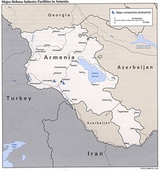
Armenia Defense Facilities Map
Map of major defense industry facilities in Armenia
0 miles away
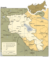
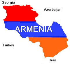
Armenia Map
Map of Armenia showing cities, roads and railways as well as international boundaries.
0 miles away
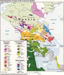
Ethnolinguistics in Caucus Region Map
9 miles away
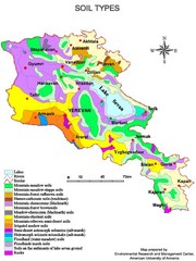
Armenian soil types Map
11 miles away

Administrative Division of Armenia Map
Administrative Division of the Republic of Armenia
12 miles away

Armenia overlaid over southern California Map
15 miles away

Armenia & Karabakh Map
Map of Armenian states - the Republic of Armenia and the Nagorno-Karabakh Republic
16 miles away
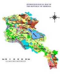
Armenia Hydrological Map
27 miles away
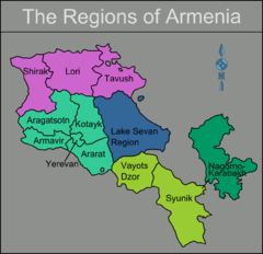
Armenia regions Map
27 miles away
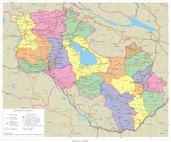
Karabakh & Armenia Map
Map of Armenian states - the Republic of Armenia and the Nagorno-Karabakh Republic
29 miles away
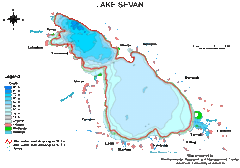
Lake Sevan water levels Map
29 miles away
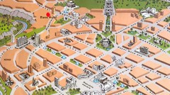
Yerevan Tourist Map
29 miles away
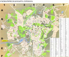
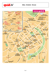
Yerevan Tourist Map
Tourist map of Yerevan, Armenia. Shows streets. In Russian.
29 miles away
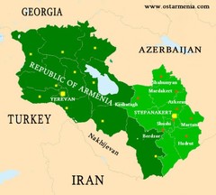
Nagorny Karabakh & Armenia Map
Map of the Nagorno-Karabakh Republic (Artsakh) and the Republic of Armenia
29 miles away
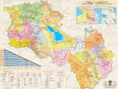
Armenia & Karabakh Road Map
Road-Map of the Republic of Armenia and the Nagorno-Karabakh Republic (Artsakh) in English and...
29 miles away
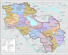
Map of Armenia and Nagorny Karabakh
Map of Armenian states - the Republic of Armenia and the Nagorno-Karabakh Republic
32 miles away
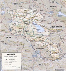
Armenia Map
36 miles away
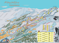
Tsakhkadzor Ski Trail Map
Trail map from Tsakhkadzor, which provides downhill skiing. This ski area has its own website.
37 miles away
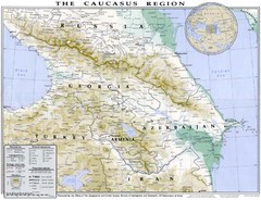
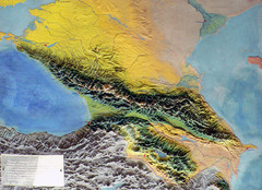
Detailed map of Caucasus region
39 miles away
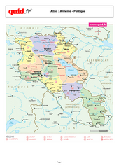
Armenia Regional Map
Country map with detail of regional divides
40 miles away
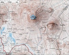
Mt. Ararat Topo Map
43 miles away
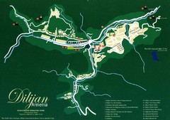
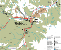
Dilijan Tourist Map
Tourist Map of Dilijan Town in Armenia
47 miles away
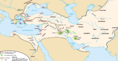
Achaemenid Empire Guide Map
50 miles away
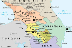
Political Map of the South Caucasus
Political Map of the South Caucasus
59 miles away
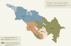
Political Map of the South Caucasus
True Map of the South Caucasus
68 miles away

Stepanavan Armenia Tourist Map
Tourist map for Stepanavan, Armenia showing streets and tourist attractions.
74 miles away

Az Map
Armenian Historical Monuments of the Upper and Lower Karabakh
78 miles away
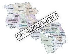
Armenian Lands Are Not For Sale Map
Holy lands of the Armenian states - the Republic of Armenia (Ararat Republic) and the Nagorno...
78 miles away
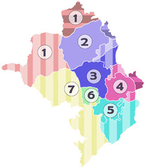
Administrative Units of the Nagorno-Karabakh...
Administrative Units of the Nagorno-Karabakh Republic (Artsakh)
78 miles away
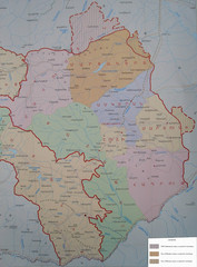
Map of the Nagorno-Karabakh Republic (Artsakh)
Administrative Map of the Nagorno-Karabakh Republic (Republic of Artsakh)
78 miles away
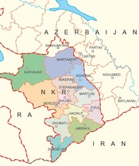
Map of Nagorno-Karabakh (Artsakh)
Map of the Nagorno-Karabakh Republic (Republic of Artsakh)
78 miles away

