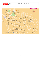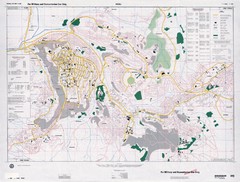
Kigali Road Map
2010 miles away
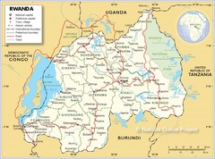
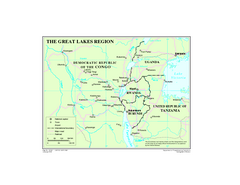
Rwanda Road Map
2015 miles away
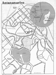
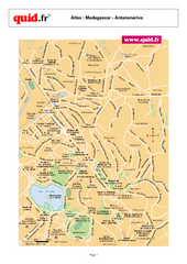
Antananarivo, Madagascar Tourist Map
2027 miles away
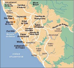
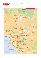
Libreville City Map
Simple map marking towns and roads.
2043 miles away
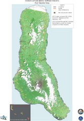
Grand Comore Island Volcanic Eruption Map
Karthala volcanic eruption post disaster map on Grand Comore Island, 8/12/2005
2044 miles away

Early East and Central Africa Map - Slug Map
Sketch of a Map from 1 & deg;N. to 15 & deg;S. Latitude and from 23 & deg; to 43 &...
2048 miles away

Grand Comore Island Topography Map
2050 miles away
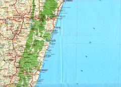
Antananarivo region Map
2064 miles away

Comoros Islands Map
2067 miles away
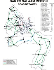
Dar Es Salaam Road Map
Map of road network in Dar Es Salaam, Tanzania
2072 miles away
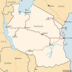
Railways in Tanzania Map
Railway network of Tanzania Map licensed on Creative Commons Share Alike License 3.0 You can...
2072 miles away
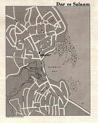
Dar es Salaam, Tanzania Tourist Map
2072 miles away
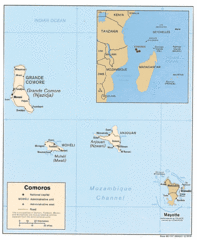
Mayotte Regional Map
Guide to the area around Mayotte
2073 miles away
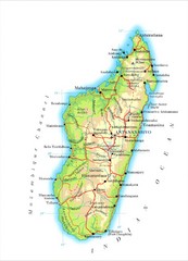
Madagascar Map
Guide to the African country of Madagascar
2075 miles away
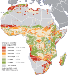
Projected climate change impacts for agriculture...
Africa is one of the regions that will be hit the hardest by climate change, and it will likely...
2079 miles away
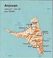
Anjouan Island topography Map
2083 miles away
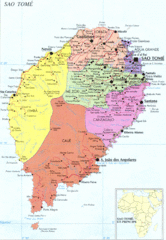
Sao Tome Political Map
Political map of island of São Tomé, lying on the equator off the west coast of...
2085 miles away
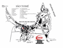
Sao Tome City Map
City map of Sao Tome with tourist information
2091 miles away
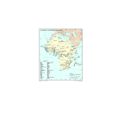
Economic Commission for Africa Map
Map of Economic Commission for Africa with detail of member-countries
2092 miles away
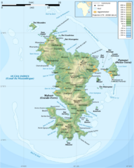
Mayotte Topographic Map
Guide to the island nation of Mayotte
2097 miles away
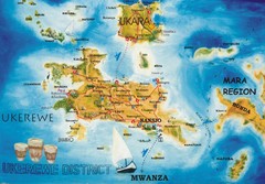
Ukerewe Island Lake Victoria Map
2097 miles away
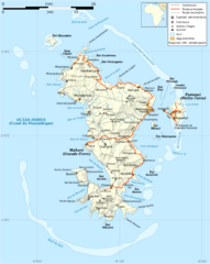
Mayotte Map
Guide to the country of Mayotte, an overseas collectivity of France
2098 miles away

Mayotte tourism Map
2099 miles away
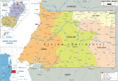
Equatorial Guinea Political Map
2104 miles away
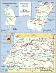
Equatorial Guinea Admin. Map
2107 miles away
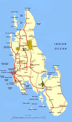
Zanzibar Tourist Map
2111 miles away
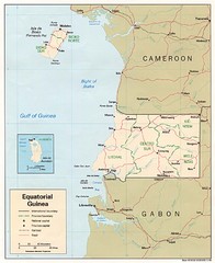
Equatorial Guinea Map
Guide to the African country of Equitorial Guinea
2112 miles away
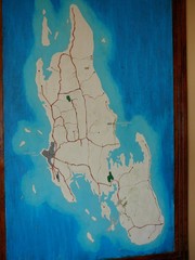
Zanzibar Island Map
Island map of Zanzibar, Tanzania From photo Oct 3 2007
2112 miles away
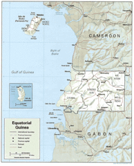
Equatorial Guinea Guide Map
2116 miles away
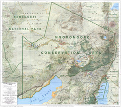
Ngorongoro Conservation Area Map
2118 miles away
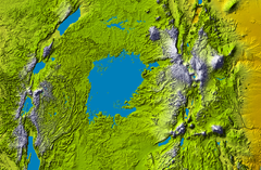
Lake Victoria topography Map
2131 miles away
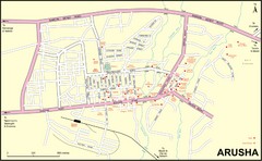
Arusha Town Map
Town map with lodging locations identified
2149 miles away
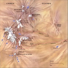
Rwenzori National Park Mt. Stanley Map
2152 miles away
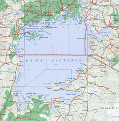
Lake Victoria 1968 Map
2153 miles away
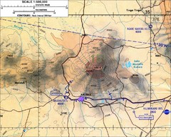
Mount Meru Topographic Map
Topographic map of Mount Meru in Nothern Tanzania
2159 miles away
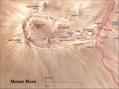
Mount Meru Physical Map
2159 miles away

