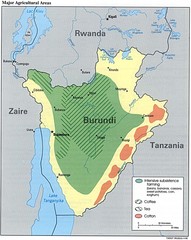
Burundi Agricultural Map
Map of Burundi's major agricultural areas
1904 miles away
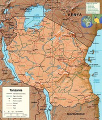
Tanzania Map
1909 miles away

Madagascar land cover and elevation Map
1911 miles away
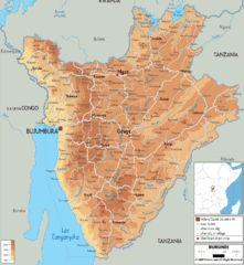
Burundi Physical Map
1914 miles away
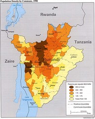
Burundi Population Density Map
Map of Burundi's population density by commune
1915 miles away
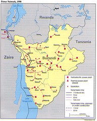
Burundi Power Plant Map
Map marking hydroelectric and thermal power plants, plus transmission lines.
1915 miles away
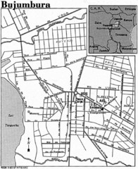
Burundi City Map
Simple city map labeling road systems.
1915 miles away
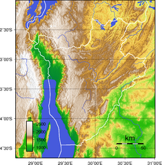
Burundi Topography Map
Color-coded physical relief map of country of Burundi
1922 miles away
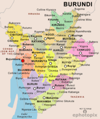
Burundi Political Map
1926 miles away
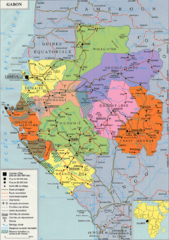
Gabon Regional Map
Guide to the regions of Gabon
1930 miles away
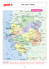
Gabon Regional Map
Map of Gabon with detail of regional divides
1931 miles away
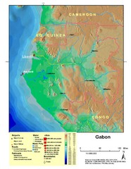
Gabon Shaded Relief Map
Shaded relief map of Gabon. Shows airports, railroads, roads, and cities.
1931 miles away
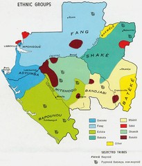
Gabon ethnic groups Map
1932 miles away
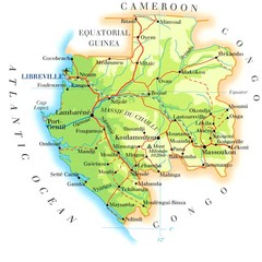
Gabon Map
1934 miles away
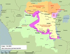
Congo Map
Cities, capitols, borders and more are clearly marked on this map.
1938 miles away
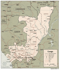
Congo 1986 Guide Map
1938 miles away
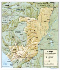
Congo Physical Relief Map
Physical relief map of the Republic of the Congo. Shows major roads and cities.
1938 miles away
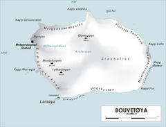
Bouvet Island Map
Map of Bouvet Island in the Southern Atlantic Ocean. Shows peaks and meteorological station.
1939 miles away
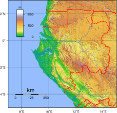
Gabon Topography Map
1943 miles away
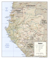
Gabon physical Map
1944 miles away
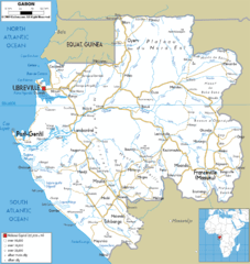
Gabon road Map
1947 miles away
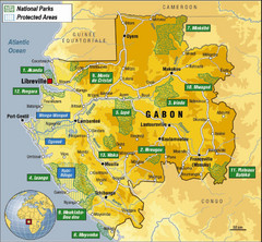
Gabon National Park Map
Guide to the national parks of Gabon in Africa
1963 miles away
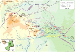
Seleous Game reserve, northern portion Map
Shows the northern part of the Seleous Game reserve in Tanzania around the Rufiji River and Beho...
1965 miles away
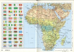
Africa Flag Map
Physical map of Africa with flag legend for all countries. Scanned.
1967 miles away
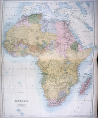
Africa Map 1885
Shows Africa with pre-colonial boundaries demarcated at the Berlin Conference of 1885.
1967 miles away
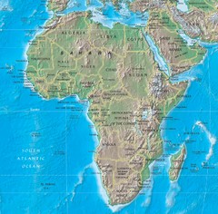
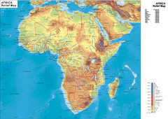
Physical Africa Map
1977 miles away
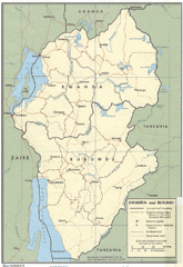
Rwanda and Burundi Guide Map
1978 miles away
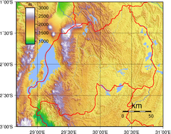
Rwanda Topography Map
1979 miles away
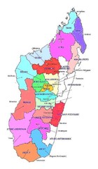
Madagascar regions Map
1982 miles away
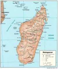
Madagascar Roads and Trains Map
Cities, roads and train lines.
1992 miles away
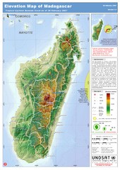
Madagascar Elevation Map
Shows color-coded elevation of island of Madagascar. Shows tropical cyclone Gamede track as of Feb...
1992 miles away
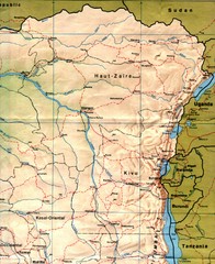
Zaire (Eastern Region) Map
Eastern Zaire (now Democratic Republic of the Congo)
1996 miles away
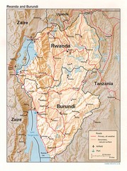
Rwanda Topographic Map
Guide to the African country of Rwanda
2003 miles away
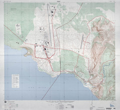
Goma Map
Goma, Democratic Republic of the Congo • original scale 1:7,500, Edition 3-DMA, Series Z091.
2003 miles away
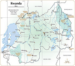
Rwanda Parks and Rainforest Map
2003 miles away
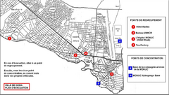
City of Goma Evacuation Plan, late 2007 Map
Map of Goma indicating evacuation points for Congolese government push against rebel groups (mostly...
2004 miles away
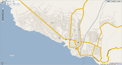
Goma, Congo street map
Street map of eastern Congo–Kinshasha city of Gome, near the Rwanda border. Produced by...
2004 miles away
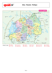
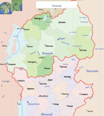
Rwanda Regional Map
Map of Rwanda with detail of regional divides
2004 miles away

