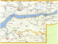
Gambia 2 Map
3631 miles away
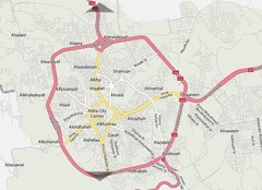
Abha City Map
3635 miles away

Red Sea Topography Map
3648 miles away
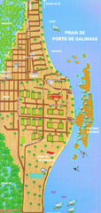
Porto De Galinhas Tourist Map
Porto de Galinhas, Brazil tourist map showing roads and tourist activities.
3649 miles away
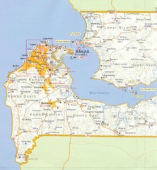
Gambia 1 Map
3651 miles away
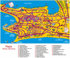
Tourism Map - Maceio, AL
3653 miles away

Recife Tourist Map
Tourist street map of city
3656 miles away
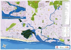
Recife Tourism Map
3657 miles away
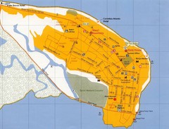
Banjul Street Map
Streets and points of interest are clearly marked on this map.
3659 miles away
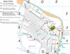
Banjul Gambia City Center Tourist Map
Tourist map of Banjul, Gambia showing tourist sites, streets and places of interest.
3660 miles away

Canyon Reef Map
Dving map of Canyon Reef, Farasan Banks, Saudi Arabia. Farasan Banks is an extensive shoal of...
3662 miles away
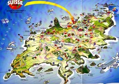
Fernando de Noronha Island Map
Tourist map of Ilha de Fernando de Noronha. Scanned.
3663 miles away
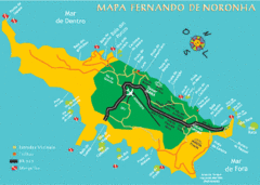
Ilha de Fernando de Noronha Map
3663 miles away
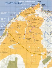
Serrekunda Resort Map
3663 miles away
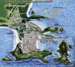
Arraial do Cabo Tourist Map
Tourist map of Arraial do Cabo, Brazil. Approx. 150 km from Rio de Janeiro. Hand-drawn panorama...
3669 miles away
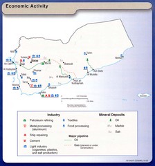
Yemen Economic Activity Map
Map of Yemen's economic activity
3674 miles away
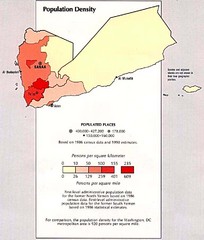
Yemen Population Density Map
Map of Yemen population density
3687 miles away
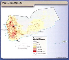
Yemen Population Map
Map of Yemen with detail of population distribution
3687 miles away
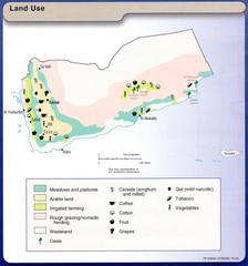
Yemen Land Use Map
Map of Yemen with detail of land use throughout the country
3687 miles away
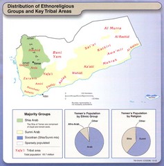
Yemen Enthoreligious Distribution Map
Map of Distribution of Ethnoreligious Groups and Key Tribal Areas
3687 miles away
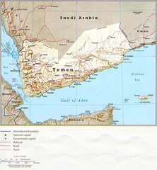
Yemen Country Map
3687 miles away
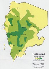
Yemem Population Map
Map marking distribution of population.
3687 miles away
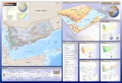
Yemen Wall Map
Wall map of the country of Yemen. Side maps and charts include Annual Rainfall, Economic Activity...
3687 miles away
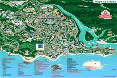
João Pessoa Tourist Map
Tourist map of Joao Pessoa, Brazil. Shows points of interest.
3687 miles away
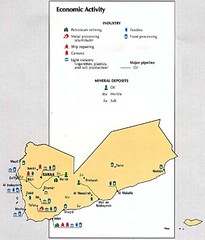
Yemen Economic Activity Map
Map of Yemen's economic activity
3694 miles away
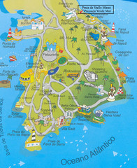
Salvador Tourism Map
3719 miles away
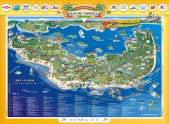
Ilha de Itaparica Tourist Map
Tourist map of Ilha de Itaparica, Brazil. In Portuguese.
3729 miles away
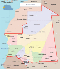
Mauritania Region Map
Guide to the african country of Mauritania
3735 miles away
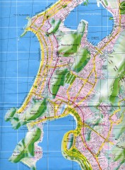
Rio de Janeiro Copacabana Area Map
Shows Copacabana and Pao de Azucar area of Rio de Janeiro, Brazil. Map is oriented south. Scanned.
3740 miles away
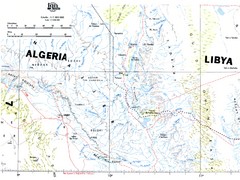
Tassili N'Ajjer National Park Map
Overview map of the Tassili N'Ajjer National Park, Algeria area. 1,000,000 scale
3740 miles away
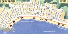
Copacabana-Leme Map
Street map of Copacabana - Leme regions of Rio
3740 miles away
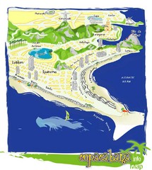
Copacabana Tourist Map
3741 miles away
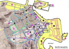
New and Old Rio de Janiero Map
Shows 2000 view of Rio de Janeiro, Brazil superimposed over 1838 Dufour map.
3741 miles away
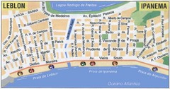
Ipanema - Leblon Street Map
Street map of Ipanema/Leblon region of Rio
3741 miles away
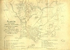
Rio De Janeiro Historical Map
Map of Rio De Janeiro, Brazil likely from 1769 showing the city streets and main buildings.
3742 miles away
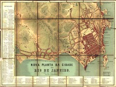
Rio de Janeiro Map 1867
Detailed map of city of Rio de Janeiro. Looks like the map portion has been overlayed on top of a...
3743 miles away
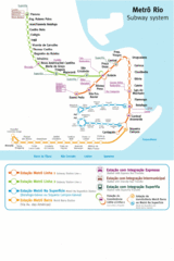
Metro Rio Map
Map of metro subway throughout Rio De Janeiro
3743 miles away
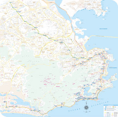
Rio de Janiero Map
3743 miles away
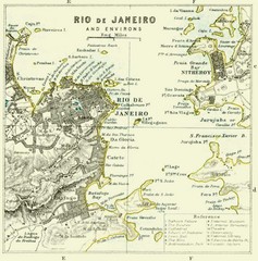
Rio De Janeiro Historical Map
Map of Rio De Janeiro, Brazil fro 1896. Map showis towns, buildings and roads.
3743 miles away
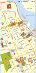
Rio de Janeiro Center Map
Street map of city center
3743 miles away

