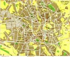
Addis Ababa Tourist Map
2955 miles away
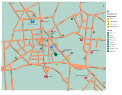
Central Addis Ababa Tourist Map
2955 miles away
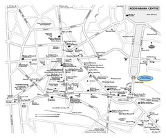
Addis Ababa Tourist Map
2955 miles away
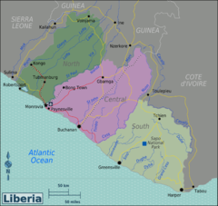
Liberia Regions Map
2960 miles away
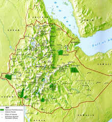
Ethiopia National Parks Map
2967 miles away

Rodrigues Island with Cap Soleil Agency Map
2968 miles away
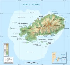
Rodrigues Island Topo Map
Island topographic map of Rodrigues Island. In French.
2968 miles away
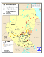
Sudan Oil and Gas Map
Map of Sudan's oil and gas concession holders
2975 miles away
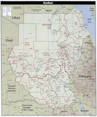
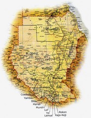
Sudan Map
Clear map of this amazing African nation.
2975 miles away
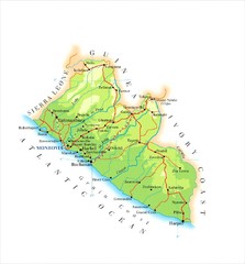
Liberia Topography Map
2982 miles away
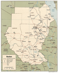
Sudan Map
Railroads, tracks, cities and borders are are marked on this clear map and legend.
2992 miles away
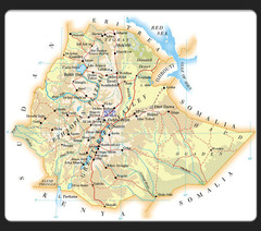
Ethiopia Map
2994 miles away

Mahe Island Map
2999 miles away

Seychelles Map
3000 miles away
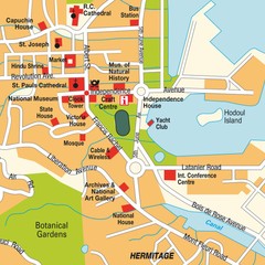
Port Victoria city Map
3000 miles away
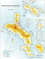
Seychelles Electoral Map
Shows electoral districts of the Seychelles Islands in the middle of the Indian Ocean.
3007 miles away
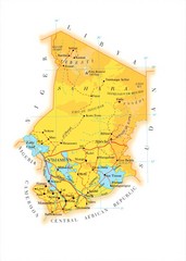
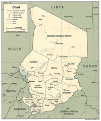
Chad Country Map
Guide to the country of Chad
3011 miles away
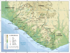
Liberia Physical Map
3013 miles away

Ehtiopia Political Map
3014 miles away
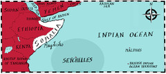
Somalia by Maps Illustrated Map
Map from Diplomat Magazine showing the location of Somalia and the area of sea that the Seychelles...
3015 miles away
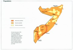
Somalia Population Density Map
Map of Somalia's population density
3015 miles away
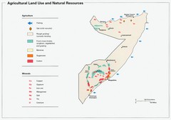
Somalia Land Use Map
Map of Somalia's agricultural land use and natural resources
3015 miles away
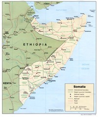
Somalia Map
Basic map and legend marking borders and cities.
3015 miles away
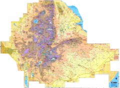
Ethiopia Elevation Map
Color coded elevation map of Ethiopia
3021 miles away
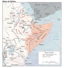
Horn of Africa Ethnic Groups Map
Map of ethnic groups throughout Horn of Africa region
3022 miles away
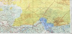
Lake Chad and Eastern Niger Physical Map
Physical map covers Lake Chad and East Niger. Shows roads and topography. Portion of Sheet 13...
3025 miles away
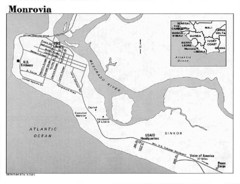
Monrovia Overview Map
Overview map of Monrovia, Liberia
3027 miles away
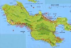
Grand Anse tourist Map
3028 miles away
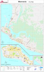
Monrovia City Map
City map of Monrovia, Liberia
3028 miles away
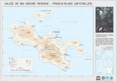
Vallee de Mai nature Reserve Map
3028 miles away
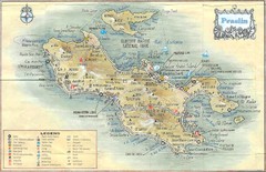
Praslin Island Map
Guide to the second largest island of the Seychelles
3029 miles away
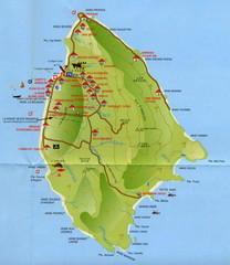
La Digue tourist Map
3033 miles away
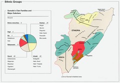
Somalia Ethnic Groups Map
Map of ethnic groups throughout Somalia
3046 miles away

Burkina Faso Map
Guide to the country of Burkina Faso
3054 miles away
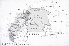
Burkina Faso Ethnic Map
Guide to ethnic regions of Burkina Faso
3056 miles away
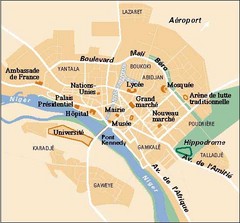
Niamey City Map
Simple map of this small city in Niger.
3056 miles away
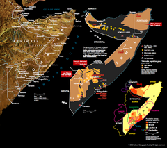
Somalia Conflict Map 2002
Shows conflict related information in Somalia from 2001-2002.
3058 miles away
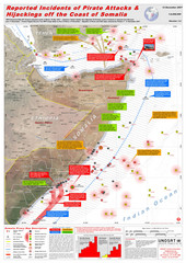
Somali Pirate Attacks Map as of Dec 12, 2007
Shows reported incidents of pirate attacks and hijackings off the coast of Somalia from Jan 2005...
3059 miles away

