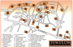
Tusculum College Campus Map
Campus map of Tusculum College in
0 miles away
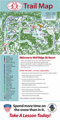
Wolf Laurel Ski Resort Ski Trail Map
Trail map from Wolf Laurel Ski Resort.
21 miles away
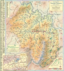
Yancey County Chamber of Commerce Map
Map of Yancey County, North Carolina. Shows all public roads, communities, hiking trails and picnic...
29 miles away
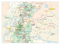
Appalachian Trail in North Carolina Map
Appalachian Trail in North Carolina. Shows major summits, National Forests, and hiking clubs.
29 miles away
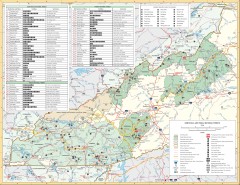
Pisgah National Forest and Nantahala National...
Pisgah National Forest and Nantahala National Forest recreation map. Contains list of all...
31 miles away
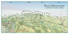
Black Mountains Panorama Map
This map portrays a sweeping vista of the Black Mountains and South Toe River Valley - extending...
32 miles away
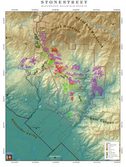
Alexander Mountain Estate Map
Vineyards in Alexander, North Carolina
34 miles away
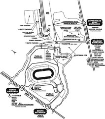
Bristol Dragway Map
Guide to campgrounds and parking at Bristol Dragway
37 miles away
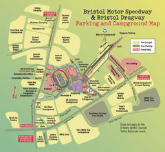
Bristol Motor Speedway Map
Guide to the campgrounds and parking at the Speedway
37 miles away
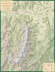
Black Mountains and South Toe and Cane River...
Guide to recreation around Mt. Mitchell State Park and Black Mountains
38 miles away
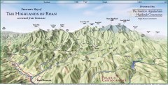
Panoramic Map of the Highlands of Roan (from TN)
Panoramic map of the Highlands of Roan as seen from Tennessee.
38 miles away

Roan Mountain Panorama Map
Panoramic Map of the View from the Baud Family Cabin of Roan Mountain, TN. The view overlooks...
38 miles away
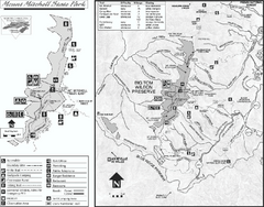
Mount Mitchell State Park map
Detailed recreational map for Mt. Mitchell State Park in North Carolina
40 miles away
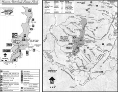
Mount Mitchell State Park map
Official map of Mt. Mitchell State Park in North Carolina. Park contains the 6,684 ft summit of...
40 miles away
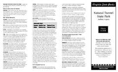
Natural Tunnel State Park Map
Detailed and informative state park map and legend.
40 miles away
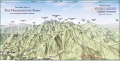
Panoramic Map of the Highlands of Roan (from NC)
Panoramic Map of the Roan Mountain Highlands as seen from North Carolina.
41 miles away
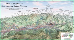
Black Mountain Panorama map
Panoramic map of the Black Mountain, NC and Swannanoa River Valley. Shows all mountains with...
41 miles away
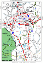
Asheville, NC Tourist Map
41 miles away
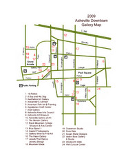
Downtown Asheville Galleria Map
Numbered shopping map of Downtown Asheville.
41 miles away
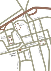
Downtown Asheville Map
Located in the heart of Asheville’s professional, municipal and cultural activity, Capital...
42 miles away

Asheville School Campus map
Map of the 300-acre campus of Asheville School, a private boarding school for grades 9-12 with...
43 miles away
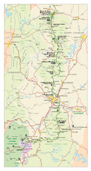
Asheville, North Carolina Parkway Map
43 miles away
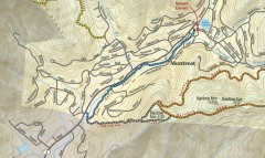
Montreat trail map
Detailed guide to the trail system surrounding the village of Montreat, NC.
45 miles away
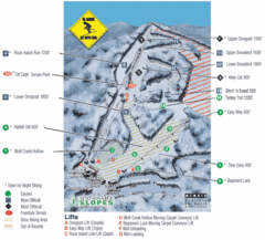
Cataloochee Ski Area Ski Trail Map
Trail map from Cataloochee Ski Area.
46 miles away
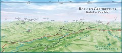
Panoramic View of Roan to Grandfather Map
This panorama takes in the vista from Roan to Grandfather mountain - overlooking the upper Linville...
48 miles away

Waynesville and Lake Junaluska Panoramic Map
Panoramic Map taking in Waynesville, Lake Junaluska and the Richland Creek watershed in Haywood...
48 miles away
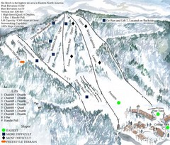
Beech Mountain Ski Resort Ski Trail Map
Trail map from Beech Mountain Ski Resort.
49 miles away
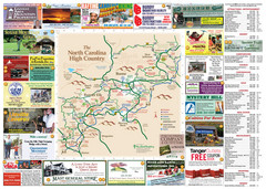
Avery County Attractions Map
Avery County Attractions Map
50 miles away

Avery County Restaurants Map
Avery County Tourist Map
50 miles away
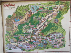
Dollywood Park Map
50 miles away
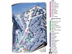
Sugar Mountain Resort Ski Trail Map
Trail map from Sugar Mountain Resort.
50 miles away
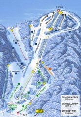
Sugar Mountain Ski Trail Map
Official ski trail map of Sugar Mountain ski area
51 miles away
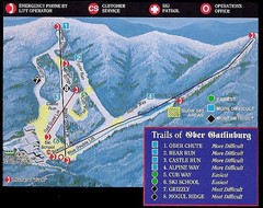
Ober Gatlinburg Ski Resort Ski Trail Map
Trail map from Ober Gatlinburg Ski Resort.
55 miles away
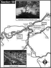
Harlan, KY-Cumberland River Headwaters Map
Section 58 of the Cumberland River Guidebook shows the beginning of the Cumberland River at the...
56 miles away
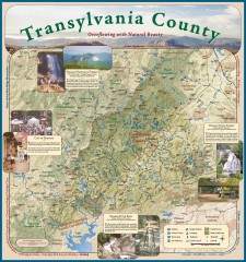
Transylvania County Tourism Development Map
Transylvania County tourist map, showing all points of interest including hiking and picnic areas.
57 miles away
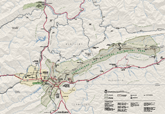
Cumberland Gap National Historical Park Official...
Official NPS map of Cumberland Gap National Historical Park in Virginia-Tennessee-Kentucky. Map...
57 miles away
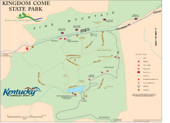
Kingdom Come State Park Map
Trail map for Kingdom Come State Park.
58 miles away
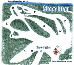
Hawksnest Golf & Ski Resort Ski Trail Map
Trail map from Hawksnest Golf & Ski Resort.
58 miles away
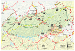
Great Smokey Mountains National Park Trail Map
Hiking trails.
59 miles away

Tweetsie Tourist Map
59 miles away

