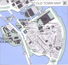
Stockholm old town Map
848 miles away
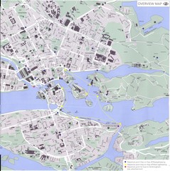
Stockholm Map
848 miles away
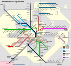
Stockholm tunnelband Map
848 miles away
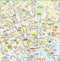
Stockholm downtown Map
848 miles away
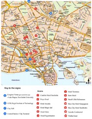
Stockholm Tourist Map
848 miles away
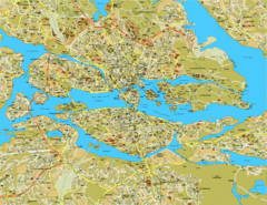
Stockholm City Map
City street map of central Stockholm, Sweden.
848 miles away
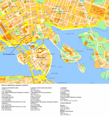
Stockholm Tourist Map
Tourist map of Stockholm, Sweden. Shows points of interest.
848 miles away
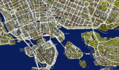
Stockholm Shopping Map
Panoramic map of central Stockholm, Sweden. Shows stores with logos.
848 miles away
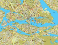
Stockholm Tourist Map
Tourist map of Stockholm, Sweden.
848 miles away
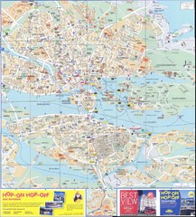
Stockholm overall Map
848 miles away
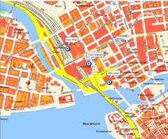
Stokholm Tourist Map
848 miles away
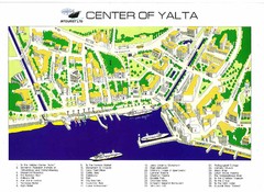
yalta Map
850 miles away
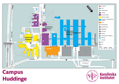
Karolinska Institute Karta Huddinge Campus Map
Easy to read and follow map of this Karolinska Institute campus.
851 miles away
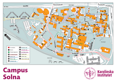
Karolinska Institute Solna Campus Map
Easy to read map of this small campus.
851 miles away
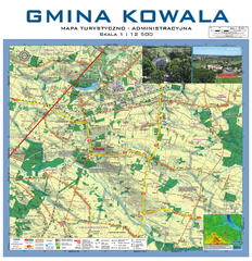
Kowala Commune - near Radom, PL Map
Kowala-Stepocina Commune - the administrative and touristic wall map, scala 1:12500, with 3D effect...
851 miles away
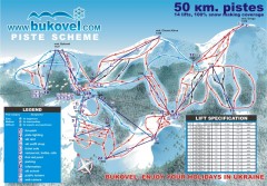
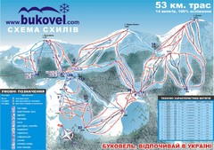
'Bukovel' Ski Resort Piste Map
Bukovel Ski Resort Piste Scheme. Near Yaremcha, Ukraine
851 miles away
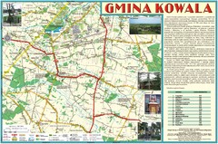
Kowala_Mazovia_poland.jpg Map
Map of Kowala_Mazovia_poland.jpg is a Kowala commune map, created with use of GlobalMapper and...
853 miles away
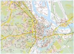
Gdansk Tourist Map
Tourist map of central Gdansk, Poland. Shows points of interest.
862 miles away
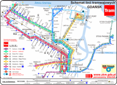
Gdansk Tram Route Map
Shows tram routes in Gdansk, Poland
862 miles away
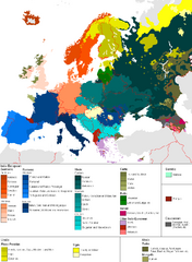
Languages of Europe Map
A map of the languages in Europe and where they originate.
862 miles away
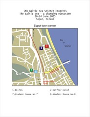
Eastern Sopot Map
863 miles away
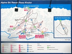
Rosa Khutor Ski Trail Map
Ski trail map of Rosa Khutor in Russia, site of all alpine skiing and snowboarding events in the...
863 miles away
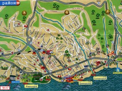
Sochi Tourist Map
Tourist map of Sochi, Russia. Host city of the 2014 Olympic Winter Games
867 miles away
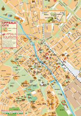
Uppsala Tourist Map
Tourist map of central Uppsala, Sweden. Shows public buildings, hotels, and other points of...
867 miles away
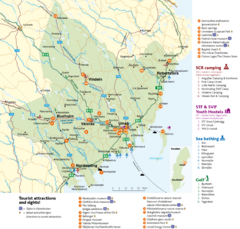
Umea Area Tourist Map
Regional map of Umeå, Sweden. Shows tourist attractions, camping, youth hostels, sea bathing...
870 miles away
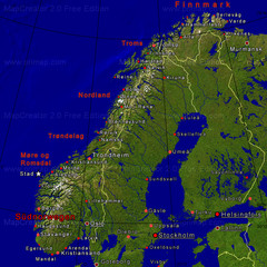
Norwegen Map
877 miles away
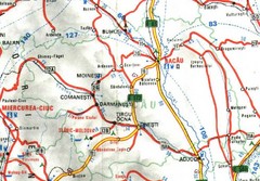
Bacau Map
878 miles away
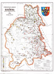
Bukovina Ethnographic Map
Ethnographic map of Bukovina, currently split between Romania and Ukraine. Map as of 1910. In...
880 miles away
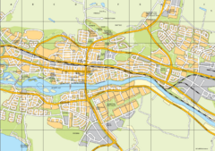
Skellefteå City Map
City map of central Skellefteå, Sweden
884 miles away
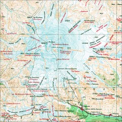
Mt. Elbrus Geographical Map
889 miles away
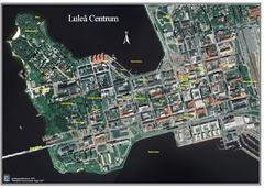
Lulea Center Aerial Map
Aerial map of city center of Lulea, Sweden. Annotated with points of interest.
890 miles away
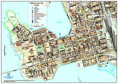
Lulea City Map
City map of center of Luleå, Sweden. Shows building outlines and points of interest.
890 miles away
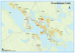
Lulea Overview Map
Overview map of the Lulea, Sweden area.
890 miles away
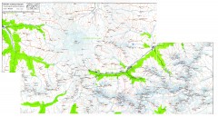
Mount Elbrus Caucasus Region Topo Map
Topographical map of Mount Elbrus and the surround Caucasus Mountains. Mount Elbrus is the highest...
893 miles away
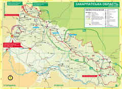
Transcarpathia Hiking Trail Map
Map of the Transcarpathia Hiking Trail (THT) in Ukraine. Trail runs through the territory of...
893 miles away
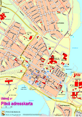
Pitea City Map
City map of center of Piteå, Sweden. Shows major building and points of interest.
894 miles away
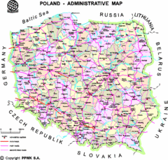
Poland Map
Map of Poland that includes all freeways, cities, districts and surrounding countries.
897 miles away

