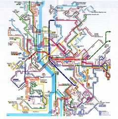
Budapest Public Transportation Map
1083 miles away
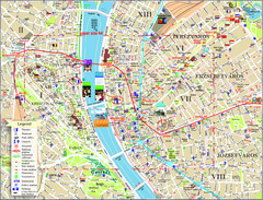
Budapest Tourist Map
Tourist map of central Budapest, Hungary. Shows theaters, museums, post offices, churches, and...
1083 miles away
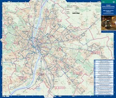
Budapest Night Bus Routes Map
Map of night bus routes in Budapest, Hungary
1083 miles away
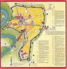
Rothenburg Tourist Map
Tourist map of town of Rothenburg
1084 miles away
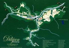
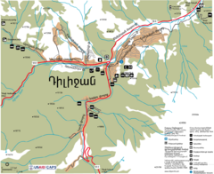
Dilijan Tourist Map
Tourist Map of Dilijan Town in Armenia
1084 miles away
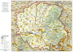
Duna-Ipoly Nemzeti National Park Map
Reference map of Duna-Ipoly Nemzeti National Park and surrounding area north of Budapest, Hungary
1085 miles away
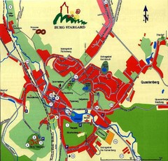
Burg Stargard Tourist Map
tourist map of Burg Stargard
1086 miles away
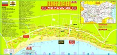
Sunny Beach Tourist Map
Sunny Beach is situated in the south of the Bulgarian "Riviera", just south of the Balkan...
1087 miles away
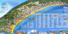
Sunny Beach Map
Sunny Beach lies near the town of Nessebar, Bulgaria on the Bulgarian Black Sea Riviera. Shows...
1087 miles away
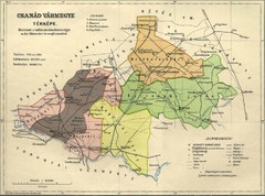
Csanád vármegye Map
1088 miles away
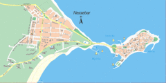
Nessebar, Bulgaria Tourist Map
The area around Nessebar, Bulgaria
1088 miles away
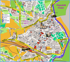
Goerlitz Tourist Map
Tourist street map of Goerlitz
1089 miles away
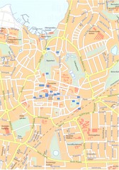
Roskilde Map
1090 miles away
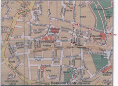
Roskilde Town Map
1090 miles away
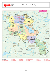
Armenia Regional Map
Country map with detail of regional divides
1091 miles away
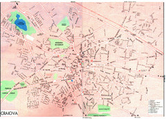
Craiova Tourist Map
Tourist map of Craiova, Romania. Shows points of interest. Scanned.
1092 miles away
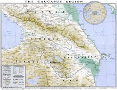
Detailed map of Caucasus region
1094 miles away
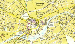
Timisoara Tourist Map
Tourist map of central TimiÅŸoara, Romania. Shows points of interest.
1094 miles away
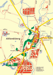
Altlandsberg Map
Map of town of Altlandsberg
1094 miles away
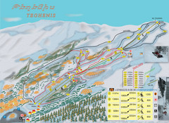
Tsakhkadzor Ski Trail Map
Trail map from Tsakhkadzor, which provides downhill skiing. This ski area has its own website.
1097 miles away
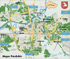
Pardubice Tourist Map
Tourist map of Pardubice, Czech Republic
1098 miles away
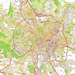
Brno Tourist Map
Tourist map of Brno, Czech Republic. Shows central Brno and surrounding area.
1098 miles away
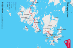
Hvaler Island Hopping Map
Tourist map of island hopping in Hvaler, Norway. Shows accommodations, beaches, camping, guest...
1099 miles away
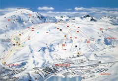
Riksgränsen Ski Trail Map
Trail map from Riksgränsen, which provides downhill skiing. This ski area has its own website.
1099 miles away
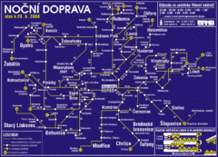
Brno Czech Republic Mass Transit Map
Mass Transit map showing all routes and stops in Brno, Czech Republic.
1099 miles away
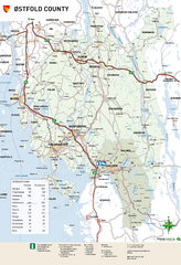
Ostfold County Map
Road map of Ostfold County, Norway.
1099 miles away
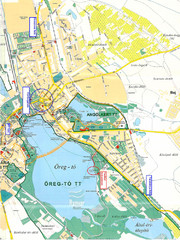
Tatai Öreg-tó Map
1101 miles away
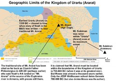
Urartu And Mount Ararat Map
Urartu Map showing Mt. Suleiman is not near Urartu.
1101 miles away
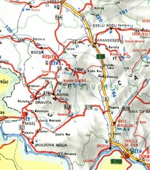
Caras-Severin Map
1102 miles away
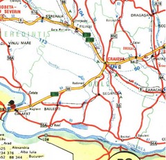
Dolj Map
1102 miles away
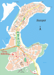
Sozopol Map
1104 miles away
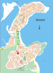
Sozopol Map
1104 miles away
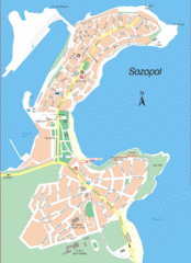
Sozopol Map
1104 miles away
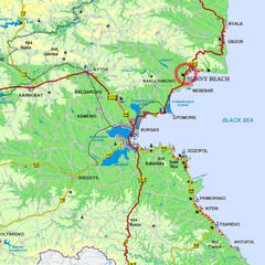
Sunny Beach, Burgas Tourist Map
1104 miles away
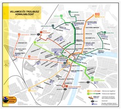
Szeged Public Transportation Map (Hungarian)
1104 miles away

