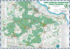
PuszczaKozienicka tourist map
LKP - Lesny Kompleks Promocyjny - PuszczaKozienicka - tourist map Ed. 2010 Projection: UTM/WGS84...
816 miles away
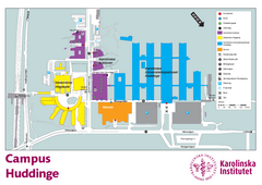
Karolinska Institute Karta Huddinge Campus Map
Easy to read and follow map of this Karolinska Institute campus.
816 miles away
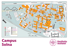
Karolinska Institute Solna Campus Map
Easy to read map of this small campus.
816 miles away
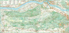
Kampinoski National Park Map
Kampinoski National Park
816 miles away
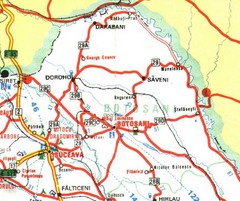
Botosani Map
818 miles away
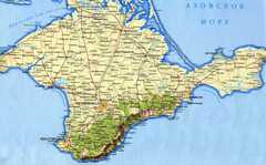
Crimea Peninsula Map
818 miles away
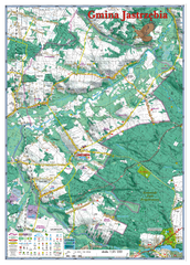
Jastrzebia commune 3D Map
Jastrzebia commune - 3D map Ed. 2010 Projection UTM/WGS84 Scale 1:25 000 Mede with extensive use...
821 miles away
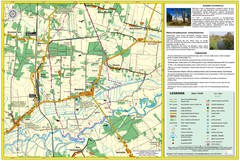
Bartodzieje_Village_Jastrzebia_Poland_streetmap...
Map of Bartodzieje_Village_Jastrzebia_Poland_streetmap.pdf is a street informative map of dimension...
823 miles away
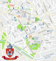
Iasi Tourist Map
Tourist map of central Iasi, Romania. Shows theaters, museums, and churches.
825 miles away
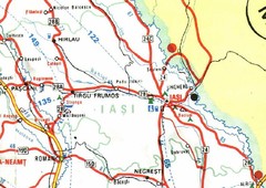
Iasi Map
826 miles away
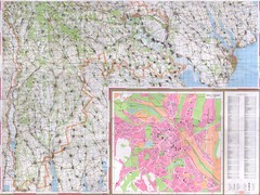
Moldova Topographical Map - South
Detailed topo map of southern Republic of Moldova. In Ukrainian. Inset shows detailed view of...
828 miles away
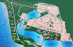
Saki Tourist Map
Tourist map of Saki, Ukraine. Shows points of interest.
830 miles away
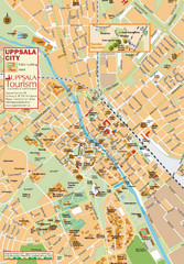
Uppsala Tourist Map
Tourist map of central Uppsala, Sweden. Shows public buildings, hotels, and other points of...
832 miles away
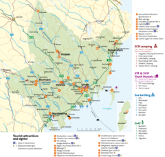
Umea Area Tourist Map
Regional map of Umeå, Sweden. Shows tourist attractions, camping, youth hostels, sea bathing...
833 miles away
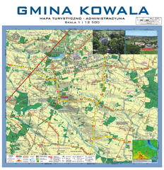
Kowala Commune - near Radom, PL Map
Kowala-Stepocina Commune - the administrative and touristic wall map, scala 1:12500, with 3D effect...
833 miles away
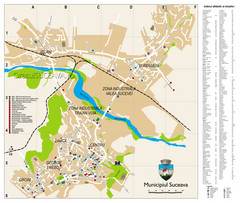
Suceava Tourist Map
Tourist map of Suceava, Romania. Shows restaurants, hotels, and other points of interest...
834 miles away
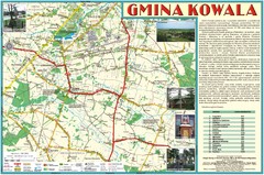
Kowala_Mazovia_poland.jpg Map
Map of Kowala_Mazovia_poland.jpg is a Kowala commune map, created with use of GlobalMapper and...
835 miles away
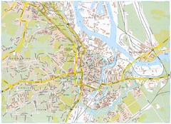
Gdansk Tourist Map
Tourist map of central Gdansk, Poland. Shows points of interest.
835 miles away
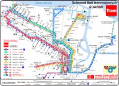
Gdansk Tram Route Map
Shows tram routes in Gdansk, Poland
835 miles away
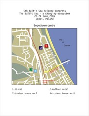
Eastern Sopot Map
836 miles away
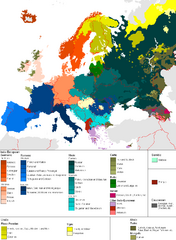
Languages of Europe Map
A map of the languages in Europe and where they originate.
840 miles away
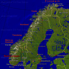
Norwegen Map
840 miles away
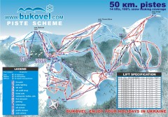
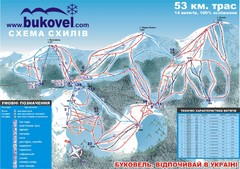
'Bukovel' Ski Resort Piste Map
Bukovel Ski Resort Piste Scheme. Near Yaremcha, Ukraine
844 miles away
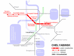
Chelyabinsk Metro Map
Detailed map and key for Chelyabinsk's metro system.
845 miles away
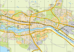
Skellefteå City Map
City map of central Skellefteå, Sweden
847 miles away
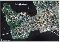
Lulea Center Aerial Map
Aerial map of city center of Lulea, Sweden. Annotated with points of interest.
853 miles away
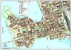
Lulea City Map
City map of center of Luleå, Sweden. Shows building outlines and points of interest.
853 miles away
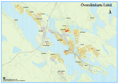
Lulea Overview Map
Overview map of the Lulea, Sweden area.
854 miles away
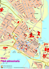
Pitea City Map
City map of center of Piteå, Sweden. Shows major building and points of interest.
857 miles away
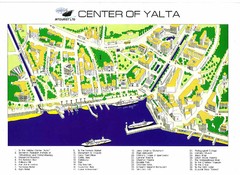
yalta Map
865 miles away
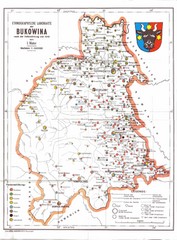
Bukovina Ethnographic Map
Ethnographic map of Bukovina, currently split between Romania and Ukraine. Map as of 1910. In...
873 miles away
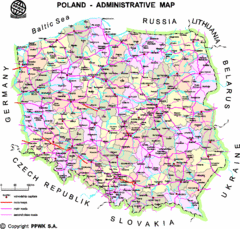
Poland Map
Map of Poland that includes all freeways, cities, districts and surrounding countries.
876 miles away
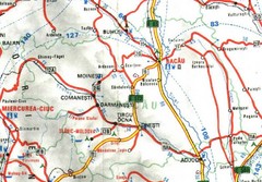
Bacau Map
878 miles away
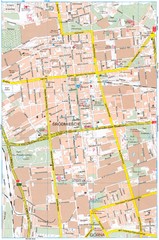
Lódź Tourist Map
Tourist map of central Lódź, Poland. Shows points of interest.
879 miles away
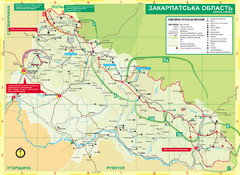
Transcarpathia Hiking Trail Map
Map of the Transcarpathia Hiking Trail (THT) in Ukraine. Trail runs through the territory of...
883 miles away
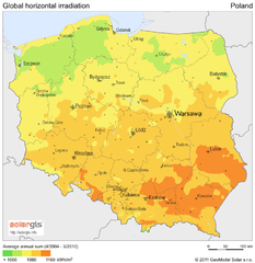
Solar Radiation Map of Poland
Solar Radiation Map Based on high resolution Solar Radiation Database: SolarGIS. On the Solar Map...
885 miles away
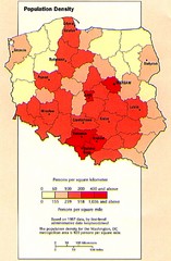
Poland Population Density Map
Map of Poland's population density
885 miles away

