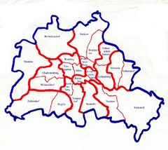
Berlin Bezirke Map
1083 miles away
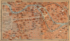
Berlin 1910 Map
1083 miles away

Berlin HBf Map
1084 miles away
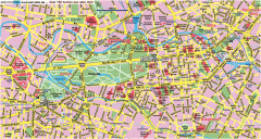
Central Berlin Street Map
Street map of central Berlin, Germany with some major building drawings. In German. Karte von...
1085 miles away
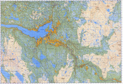
Selbu Norway Area Map
1086 miles away
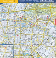
Berlin Street Map - West
Street map of western Berlin, Germany.
1086 miles away
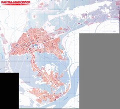
Hanty-Mansiysk Map
1087 miles away
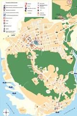
Hanty-Mansiysk Map
1087 miles away
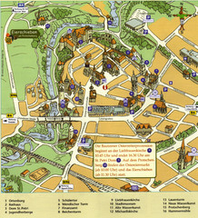
Bautzen Tourist Map
Tourist map of Bautzen town center
1087 miles away
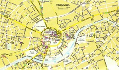
Timisoara Tourist Map
Tourist map of central TimiÅŸoara, Romania. Shows points of interest.
1087 miles away
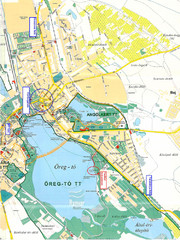
Tatai Öreg-tó Map
1088 miles away
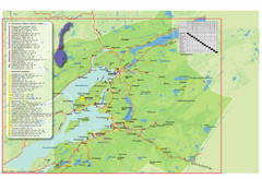
Central Norway Map
Maps covering Steinkjer - Verdal - Levanger - Inderøy in Norway. Maps show cities, rivers...
1088 miles away
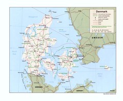
Denmark Map
Map of Denmark showing cities, roads, railroads, and Ferry routes
1089 miles away

Warnemunde 1 Map
1089 miles away

Rostock Map
1090 miles away
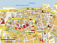
Rostock Center Map
Street map of town center
1090 miles away
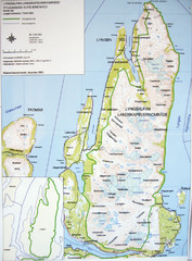
Lyngen Peninsula Map
Topo map of the northern Lyngen Peninsula near Tromso, Norway. Shows peaks. From photo.
1090 miles away
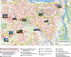
Rostock Tourist map
Tourist map of Rostock
1090 miles away
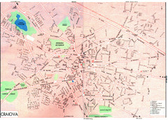
Craiova Tourist Map
Tourist map of Craiova, Romania. Shows points of interest. Scanned.
1090 miles away

Ethno-Linguistic Groups in the Caucasus Map
Map of Ethno-Linguistic Groups in the Caucasus Region
1092 miles away

Stepanavan Armenia Tourist Map
Tourist map for Stepanavan, Armenia showing streets and tourist attractions.
1093 miles away
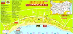
Sunny Beach Tourist Map
Sunny Beach is situated in the south of the Bulgarian "Riviera", just south of the Balkan...
1093 miles away
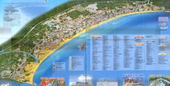
Sunny Beach Map
Sunny Beach lies near the town of Nessebar, Bulgaria on the Bulgarian Black Sea Riviera. Shows...
1093 miles away
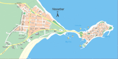
Nessebar, Bulgaria Tourist Map
The area around Nessebar, Bulgaria
1094 miles away
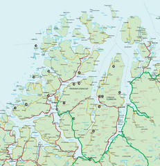
Tromso Lyngen Region Overview Map
Reference map of Tromso, Norway region above the Arctic Circle. Shows roads and major ferry routes.
1095 miles away
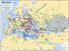
Proposed European Crude Oil Pipelines Map
Shows pan-European proposed priority axes for crude oil pipelines
1095 miles away
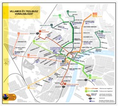
Szeged Public Transportation Map (Hungarian)
1095 miles away
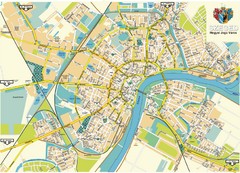
Szeged Map
Map of central Szeged, Hungary
1095 miles away
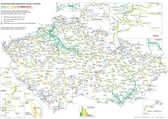
Elevation Railway Map of Czech Republic
Elevation of railways and main stations in Czech republic. Blue numbers show elevation of stations...
1095 miles away
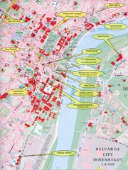
Szeged Tourist Map
Tourist map of central Szeged, Hungary. Shows points of interest.
1095 miles away
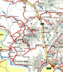
Caras-Severin Map
1097 miles away
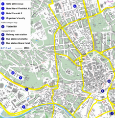
Czech Republic Tourist Map
Czech Republic Tourist Map. Includes roads, landmarks and street names.
1097 miles away
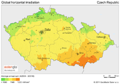
Solar Radiation Map of Czech republic
Solar Radiation Map Based on high resolution Solar Radiation Database: SolarGIS. On the Solar Map...
1098 miles away
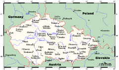
Czech Republic Tourist Map
1098 miles away
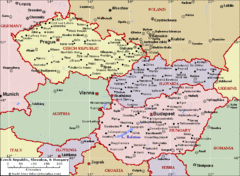
Czech Republic Tourist Map
1098 miles away
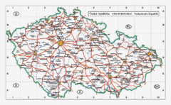
Czech Republic Country Map
Map of Czech Republic, roads, and major cities.
1098 miles away
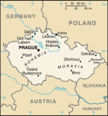
Czech Republic Country Map
Country of Czech Republic, and surrounding countries.
1098 miles away
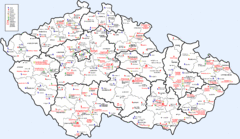
Czech Castles Map
Shows castles in the Czech Republic
1098 miles away

