Vysehrad Tourist Map
1054 miles away
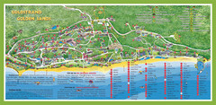
Golden Sands Varna Tourist Map
1055 miles away
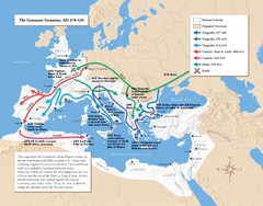
Germanic Invasions Map 378-439
Shows the breakdown of the Roman frontier in the late 4th and early 5th centuries.
1055 miles away
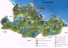
Samsun Tourist Map
Tourist map of Samsun, Turkey area on the Black Sea. Shows points of interest.
1055 miles away
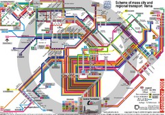
Varna, Bulgaria Public Transportation Map
1055 miles away
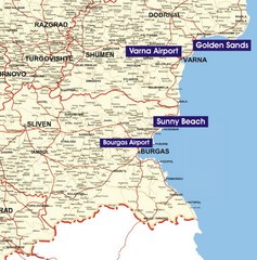
Varna Location Map
1055 miles away
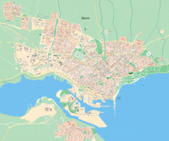
Varna Tourist Map
Tourist map of Varna, Bulgaria. Shows points of interest.
1056 miles away
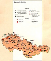
Czechoslovakia Economic Activity Map
Map of economic activity throughout region
1058 miles away
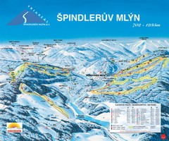
Špindlerův Mlýn Ski Trail Map
Trail map from Špindlerův Mlýn.
1059 miles away
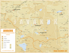
Samtskhe-Javakheti Province Map
Southeast Georgia
1059 miles away
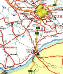
Giurgiu Map
1059 miles away
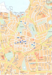
Roskilde Map
1060 miles away
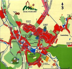
Burg Stargard Tourist Map
tourist map of Burg Stargard
1060 miles away
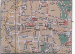
Roskilde Town Map
1060 miles away
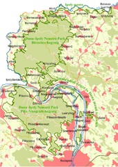
Duna-Ipoly Nemzeti Park Map
Overview map of Duna-Ipoly Nemzeti Park (Danube-Ipoly National Park) north of Budapest, Hungary
1060 miles away
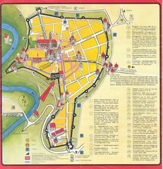
Rothenburg Tourist Map
Tourist map of town of Rothenburg
1061 miles away
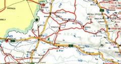
Arad Map
1062 miles away
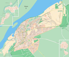
Rousse, Bulgaria Map
1062 miles away
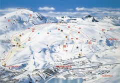
Riksgränsen Ski Trail Map
Trail map from Riksgränsen, which provides downhill skiing. This ski area has its own website.
1063 miles away
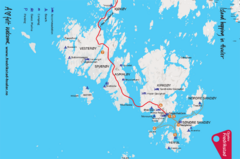
Hvaler Island Hopping Map
Tourist map of island hopping in Hvaler, Norway. Shows accommodations, beaches, camping, guest...
1064 miles away
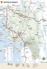
Ostfold County Map
Road map of Ostfold County, Norway.
1065 miles away
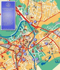
Nitra City Map
City map of central Nitra, Slovakia
1066 miles away

Danube River Basin by Maps Illustrated Map
Map from Diplomat magazine from an article on the economic region based on the Danube Basin
1067 miles away
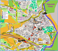
Goerlitz Tourist Map
Tourist street map of Goerlitz
1067 miles away
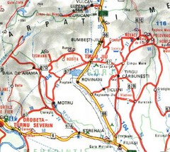
Gorj Map
1068 miles away
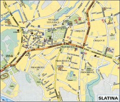
slatina-olt-romania Map
1069 miles away
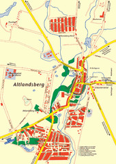
Altlandsberg Map
Map of town of Altlandsberg
1069 miles away
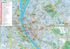
Budapest Hotel Map
Tourist map of Budapest, Hungary. Shows all hotels.
1069 miles away
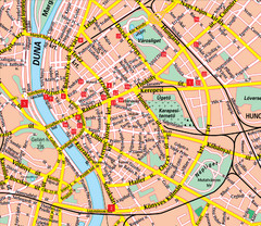
Budapest Street Map
Street map of central Budapest, Hungary.
1070 miles away
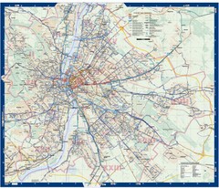
Budapest Public Transit map
1070 miles away
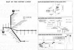
Central European University Metro and Bus Line Map
1070 miles away
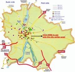
Budapest Hotel Map
1071 miles away
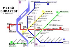
Budapest Metro Map
1071 miles away
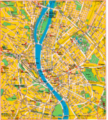
Budapest Tourist Map
1071 miles away
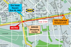
Local Budapest Tourist Map
Stores, main streets and locations in Central Budapest
1071 miles away
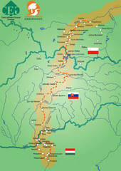
Amber Trail Budapest-Krakow Map
Amber Trail map showing the trail from Budapest to Krakow where you will see several heritage sites.
1071 miles away
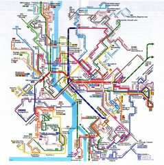
Budapest Public Transportation Map
1071 miles away

