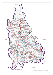
Dambovita County, Romania Map
Administrative map of Dambovita County, Romania. The map shows, also, all important roads.
1008 miles away
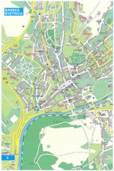
Banska Bystrica Tourist Map
Tourist map of central Banska Bystrica, Slovakia. Shows points of interest. Scanned.
1010 miles away
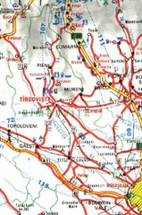
Dimbovita Map
1011 miles away
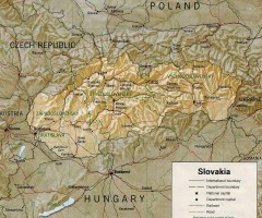
Slovakia country map
Map of Slovakia with surrounding countries. Shows boundaries, major cities, and shaded with...
1011 miles away
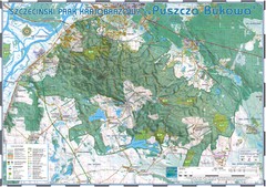
Map_Puszcza_Bukowa_Szczecin_PL.jpg Map
Map Map_Puszcza_Bukowa_Szczecin_PL.jpg is a tourist map made with an extensive use of GlobalMapper...
1011 miles away
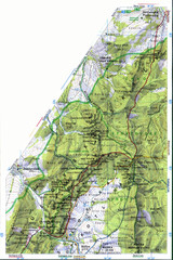
Sulovske vrchy Map
1011 miles away
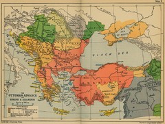
The Ottoman Advance of Europe and Asia Minor Map
1012 miles away
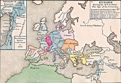
Old Map of Europe - 12th century
1013 miles away
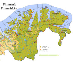
Finnmark County Map
Elevation map of Finnmark County, Norway. Color shading shows meters above sea level and national...
1013 miles away
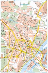
Szczecin Tourist Map
Tourist map of central Szczecin, Poland. Shows points of interest.
1014 miles away

Silistra, Bulgaria Tourist Map
Areas and locations in Silistra, Bulgaria
1014 miles away
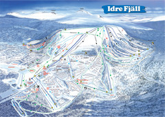
Idre Ski Trail Map
Trail map from Idre.
1015 miles away
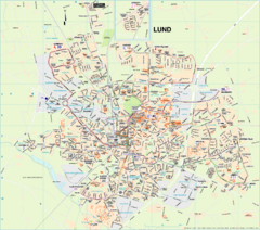
Lund City Map
City map of Lund, Sweden. Shows transportation lines.
1017 miles away
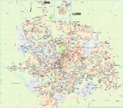
Lund Map (swedish)
1017 miles away
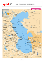
Caspian Sea Map
Map of Caspian Sea and surrounding region
1018 miles away
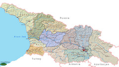
Georgia Country Map
Administrative map of country of Georgia
1019 miles away
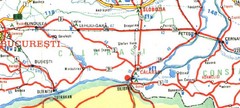
Bucuresti Map
1022 miles away
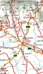
Arges Map
1023 miles away
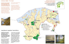
Finnmark Nature Parks and Reserves Map
National parks and nature reserves of Norwegian county of Finnmark. From wikipedia: "In the...
1023 miles away
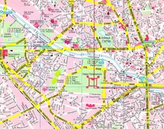
Bucharest Street Map
Street map of central Bucharest, Romania
1024 miles away
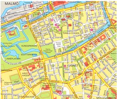
Malmo 1 Map
1026 miles away
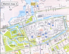
Malmo 2 Map
1026 miles away
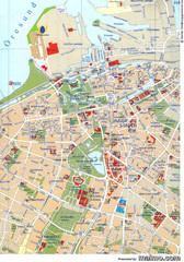
Malmo City Map
City map of central Malmö, Sweden.
1026 miles away
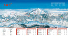
ARE Ski Resort in Sweden Map
Ski run, lifts and mountain elevations for the ARE Ski Resort in Sweden. Note: The map is in...
1026 miles away
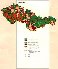
Czechoslovakia Land Use Map
Map of Czechoslovakia region land use
1029 miles away
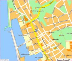
Helsingborg City Map
Map of city center with detail of main roads
1030 miles away
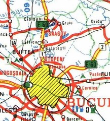
Ilfov Map
1031 miles away
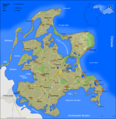
Rügen Map
Shows shaded population density of island of Rugen, Germany
1033 miles away
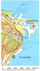
Helsingor - Krongborg Castle Map
1033 miles away
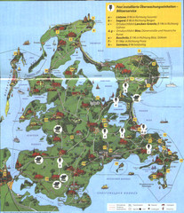
Rügen Tourist Map
Tourist map of the island of Rügen, Germany's largest island.
1034 miles away
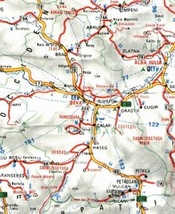
Hunedoara Map
1035 miles away
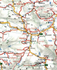
Hunedoara Map
1035 miles away
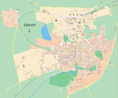
Dobrich, Bulgaria Map
1035 miles away
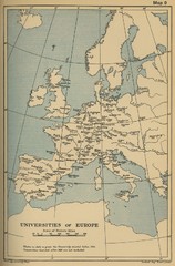
Universities of Europe Historical Map
1035 miles away
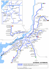
Göteborg Tram Map
Map marking rails, stops and more.
1036 miles away
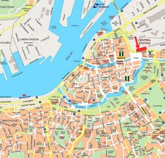
Gothenburg Tourist Map
1036 miles away

Elevation Profile for Klasik Route Map
Elevation Profile for Klasik Route Map for 2008 for Dubnicky Marathon
1037 miles away
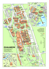
Campus Johanneberg Map
One of the two Chalmer campuses.
1037 miles away

