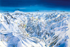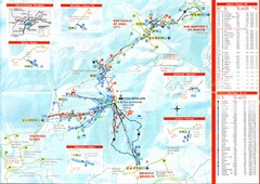
Plande Corones Ski Trail Map
294 miles away
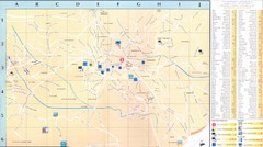
Vence - environ Map
294 miles away

Sulden Ski Trail Map
Ski trail map of Sulden (Solda), Italy in the Ortler Alps. Shows trails and lifts.
294 miles away
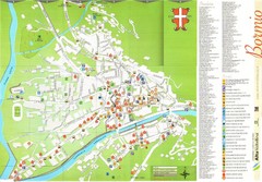
Bormio Tourist Map
Tourist map of town of Bormio, Italy. Legend of all streets and services.
294 miles away
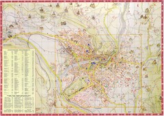
Merano Map
295 miles away
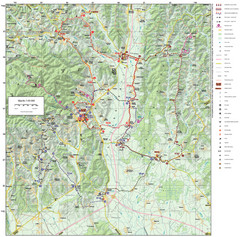
Zagreb County Cycling Route Map
Shows a cycling route in Zagreb County, Croatia. From the Roman “Magna Vie” near Komin...
296 miles away
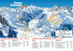
Lienz Austria Ski Map
Trail map for Lienz ski resort in Austria. Lifts, runs, elevations and amenities marked on map.
296 miles away
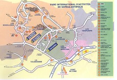
Sophia Antipolis Tourist Map
296 miles away

Sulden Trafoi Summer Hiking Map
Summer hiking route map of Sulden (Solda) Italy, Trafoi, Italy and Stelvio, Italy. Shows hiking...
296 miles away
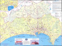
Cannes Map
297 miles away
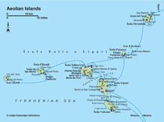
Aeolian islands map
297 miles away
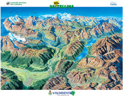
Valdidentro Alta Valtellina Summer Map
Panorama tourist map of the region of Valdidentro Alta Valtellina from Bormio, Italy to Livigno...
297 miles away
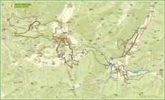
Nature Fitness Park in Kronplatz Dolomiti Map
Panoramic map of Nature Fitness Park in Dolomites. The park is very well signposted and its trails...
297 miles away
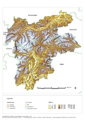
South Tyrol Elevation Map
Physical relief map of the South Tyrol region in present-day borders of Italy and Austria.
298 miles away
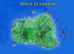
Isola di Salina Map
Island map of Isola di Salina, off the north coast of Sicily. Shows volcanoes and towns of Leni...
298 miles away
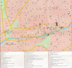
Sarajevo Downtown Map
Free tourist map of downtown Sarajevo from Sarajevo Navigator Brochure
298 miles away
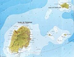
Panarea Map
298 miles away

Saluzzo Map
299 miles away
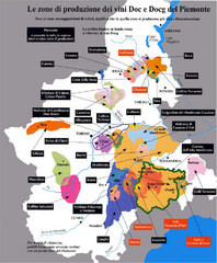
Piedmont Region Wine Map
Wine map of the Piedmont region in Italy. Shows production zones.
299 miles away
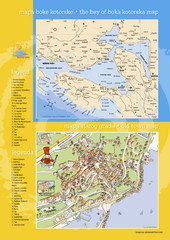
Boka Kotorska Bay and Herceg Novi Tourist Map
Tourist map of the bay of Boka Kotorska and old town Herceg Novi. In Croatian and English.
299 miles away
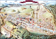
Sarajevo Survival Map 1992-1996
From creator famainternational.com: " Sarajevo Survival Map 92-96 is the ultimate visual...
302 miles away
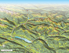
Nockberge National Park Map
Outline map of Nockberge National Park, Austria in the summer. Shows surrounding towns.
302 miles away
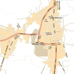
Gattinara Map
303 miles away
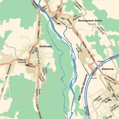
Gattinara Map
303 miles away
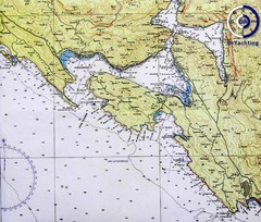
Bay of Boka Map
304 miles away
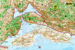
Kotor Bay Tourist Map
Tourist Map of Bay of Kotor, Montenegro.
304 miles away
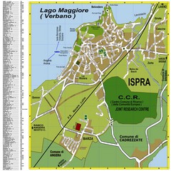
Ispra Town Map
Town map of Ispra, Italy on east side of Lake Maggiore (Lombardy region, Northern Italy). With...
304 miles away
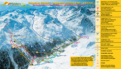
Pfelders Ski Trail Map
Trail map from Pfelders, which provides downhill and nordic skiing. This ski area has its own...
304 miles away
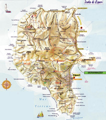
Lipari map
304 miles away
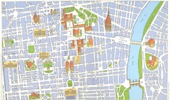
Torino centro Map
305 miles away
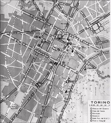
Turin Italy Map
Map of the city of Torino (Turin) from 1913 showing streets, parks and government buildings.
305 miles away
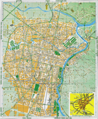
Torino Street Map
Street map of central Torino (Turin), Italy.
305 miles away
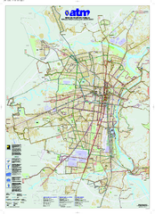
Torino Public Transit Map
Public transportation map of Torino (Turin), Italy
305 miles away
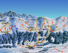
Ratschings / Racines Ski Trail Map
Trail map from Ratschings / Racines.
306 miles away
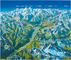
Engadin St. Moritz Region Summer Map
Summer panoramic tourist map of Engadin region of Switzerland. Includes St. Moritz, Piz Bernina...
306 miles away
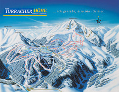
Turracher Höhe Ski Trail Map
Trail map from Turracher Höhe.
307 miles away
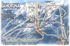
Jahorina Ski Trail Map
Trail map from Jahorina.
307 miles away


