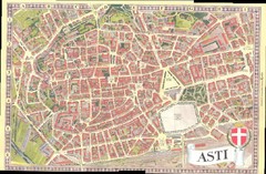
Asti Map
278 miles away
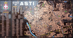
Asti map at stazione
278 miles away
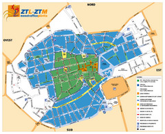
Asti Traffic Zone Map
Traffic zone map of city of Asti, Italy from the ZTL (Zona Traffico Limitado).
278 miles away
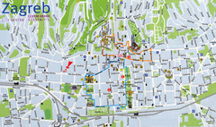
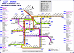
Zagreb Croatia Tourist Map
Zagreb City Centre Tourist map showing tourist attractions, hotels, tourist information and city...
278 miles away
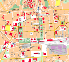
Zagreb Center Map
278 miles away
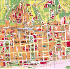
Zagreb Tourist Map
Tourist map of central Zagreb, Croatia. Shows major buildings.
278 miles away
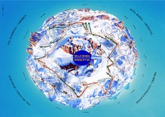
Sella Ronda Ski Tour Map
Shows ski mountaineering tour of Sella Ronda, a circular ski route leading around the mighty Sella...
278 miles away
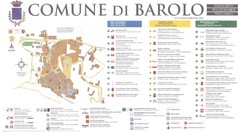
Barolo Map
278 miles away
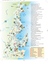
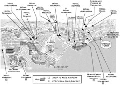
Monaco Tourist Map
Tourist map of Monaco. Shows points of interest, hotels, and resorts.
279 miles away
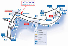
Monaco Gran Prix circuit Map
279 miles away
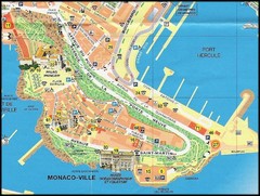
Monaco Ville Map
279 miles away
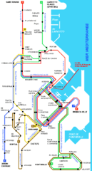
Monaco bus route Map
279 miles away

Monaco Tourist Map
Tourist map of the Mediterranean country of Monaco. Shows points of interest. In French.
279 miles away
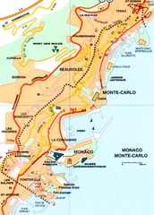
Monaco Map
279 miles away
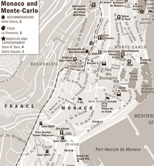
Monaco accomodation Map
279 miles away
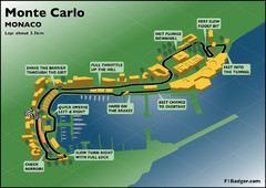
Monte Carlo Grand Prix track Map
279 miles away
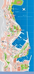
Monaco Map
279 miles away
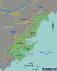
Monaco Map
279 miles away
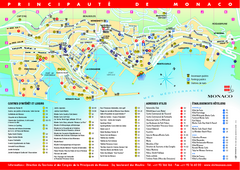
Monaco Tourist Map
Tourism map of the Principaute de Monaco. Shows points of interests and hotels
279 miles away
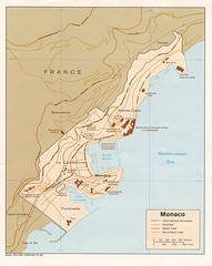
Monaco Map
279 miles away
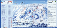
Aprica Ski Trail Map
Trail map from Aprica, which provides downhill skiing. This ski area has its own website.
279 miles away
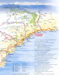
French Riviera Tourist Map
Tourist map of the French Riviera (Côte d'Azur) from Saint-Tropez, France to San Remo...
279 miles away
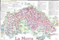
La Morra Map
280 miles away
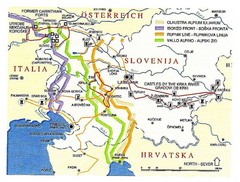
Slovenia Tour Map
280 miles away
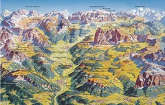
Val Gardena Summer Trail Map
Summer panoramic trail map of the Val Gardena, Italy area in the heart of the Dolomite Mountains...
280 miles away
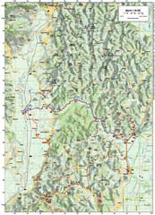
Villages and Sutla River Valley Bike Route Map
Bike routes and trails through the villages to the Sutla River Valley in Croatia. Note: The map...
280 miles away
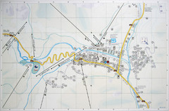
Corvara Town Map
Tourist map of Corvara, Italy in the Dolomites. From photo of sign
280 miles away
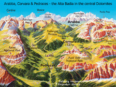
Arabba Corvara Pedraces Summer Map
Summer map of Alta Badia region in Italian Dolomites
280 miles away
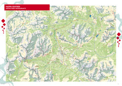
Cortina d'Ampezzo Hiking Map
Summer hiking map of the Cortina d'Ampezzo, Italy area in the heart of the Dolomite Mountains...
280 miles away
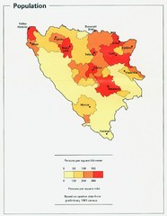
Bosnia and Herzegovina Population Density Map
Map of Bosnia and Herzegovina's population density
280 miles away
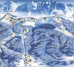
Arnoldstein—Dreiländereck Ski Trail Map
Trail map from Arnoldstein—Dreiländereck, which provides downhill skiing. It has 8 lifts. This...
280 miles away
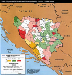
Ethnic Majorities in Bosnia and Herzegovina Map
280 miles away
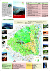
Monte Barro Map
280 miles away
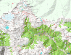
Val di Rabbi Topo Map
Detailed topographic map of Val di Rabbi, Italy on the edge of Stelvio National Park
281 miles away
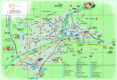
Bolzano Map
281 miles away
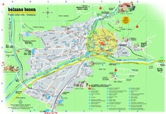
Bolzano Tourist Map
Tourist map of Bolzano, Italy.
281 miles away
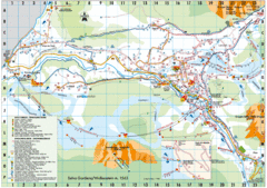
Selva Gardena Tourist Map
Tourist map of Selva Gardena, Italy, a popular skiing and hiking destination in the Italian Alps.
281 miles away
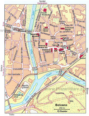
Bolzano centro Map
281 miles away

