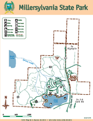
Millersylvania State Park Map
Map of park with detail of trails and recreation zones
109 miles away
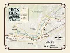
Iron Goat Trail Map
109 miles away
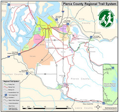
Pierce County Regional Trail Map
County-wide system of trails
111 miles away
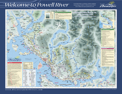
Upper Sunshine Coast Recreation Map
Recreation map of Upper Sunshine Coast in BC. Shows hiking trails, kayaking and canoeing routes...
112 miles away
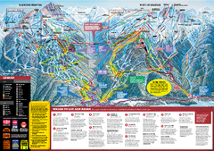
Whistler Blackcomb Trail map 2010-2011
Official ski trail map Whistler Blackcomb for the 2010-2011 season.
112 miles away
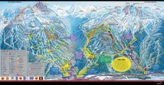
Whistler Blackcomb Ski Trail map 2005-06
Official ski trail map of the Whistler Blackcomb ski area from the 2005-2006 season. Site of the...
113 miles away
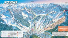
Stevens Pass Ski Trail Map
Official ski trail map of Stevens Pass ski area
113 miles away
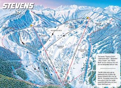
Stevens Pass Ski Area Stevens Pass Mill Valley...
Trail map from Stevens Pass Ski Area, which provides night and terrain park skiing. It has 8 lifts...
113 miles away
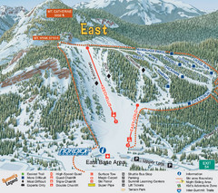
The Summit at Snoqualmie Summit East Ski Trail Map
Trail map from The Summit at Snoqualmie, which provides night and terrain park skiing. It has 30...
113 miles away
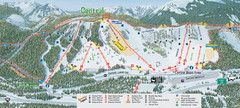
The Summit at Snoqualmie Summit Central Ski Trail...
Trail map from The Summit at Snoqualmie, which provides night and terrain park skiing. It has 30...
113 miles away
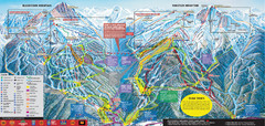
Whistler Blackcomb Ski Trail Map 2007-2008
Official ski trail map of the Whistler Blackcomb ski area from the 2007-2008 season. Site of Alpine...
113 miles away
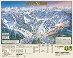
Stevens Pass Trail Map
113 miles away

Creekside Map
Tourist map of Creekside Village
113 miles away
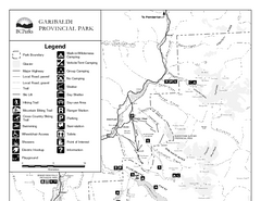
Garibaldi Provincial Park Map
Park map of Garibaldi Provincial Park, BC. 2 pages.
113 miles away
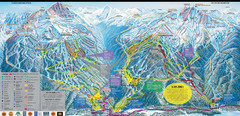
Whistler Blackcomb Ski Resort Map
Ski runs, lifts and amenities on the resort map
114 miles away
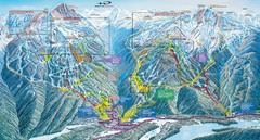
Whistler Blackcomb Trail Map
114 miles away
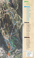
Whistler Blackcomb (Garibaldi Lift Co.) Biking...
Trail map from Whistler Blackcomb (Garibaldi Lift Co.), which provides downhill, night, and terrain...
114 miles away
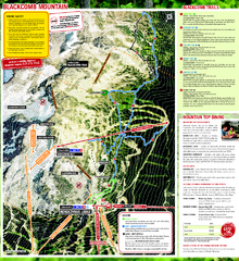
Whistler Blackcomb (Garibaldi Lift Co.) Hiking...
Trail map from Whistler Blackcomb (Garibaldi Lift Co.), which provides downhill, night, and terrain...
114 miles away
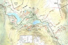
Whistler, CA Hiking and Biking Trails Map
114 miles away
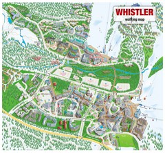
Whistler Village Map
114 miles away
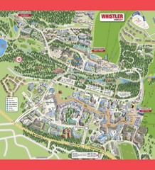
Whistler Village Map
114 miles away
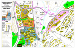
Whistler Village Map
114 miles away
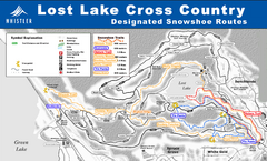
Whistler Cross Country Connection Snowshoeing Ski...
Trail map from Whistler Cross Country Connection.
115 miles away
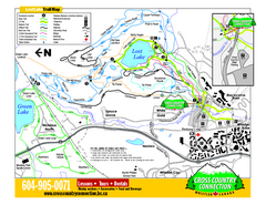
Whistler Cross Country Connection 2006–07...
Trail map from Whistler Cross Country Connection.
115 miles away
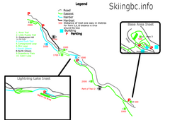
Manning Park Resort 2004–07 Manning Park...
Trail map from Manning Park Resort, which provides downhill and nordic skiing. It has 4 lifts...
115 miles away
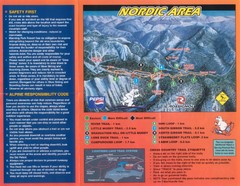
Manning Park Resort 2004–07 Manning Park Cross...
Trail map from Manning Park Resort, which provides downhill and nordic skiing. It has 4 lifts...
115 miles away
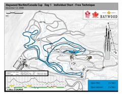
Whistler Olympic Park (Callaghan Nordic Centre...
Trail map from Whistler Olympic Park (Callaghan Nordic Centre), which provides night and nordic...
115 miles away
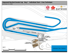
Whistler Olympic Park (Callaghan Nordic Centre...
Trail map from Whistler Olympic Park (Callaghan Nordic Centre), which provides night and nordic...
115 miles away
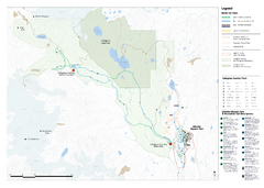
Callaghan Country Nordic Ski Trail Map
Trail map from Callaghan Country, which provides nordic skiing. This ski area opened in 1998, and...
115 miles away
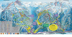
Trail Map Whistler Blackcomb
Map of all trails and ski runs at Whistler and Blackcomb mountains. Includes detailed information...
115 miles away
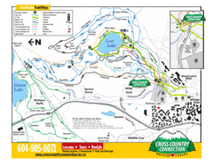
Lost Lake, Whistler Hiking and Biking Trail Map
115 miles away

Pierce County Washington Map, 1909 Map
116 miles away
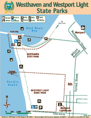
Westhaven/Westport Light State Parks Map
Map of park with detail of trails and recreation zones
116 miles away
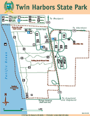
Twin Harbors State Park Map
Map of park with detail of trails and recreation zones
119 miles away
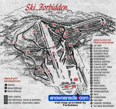
Pre-1999 Forbidden Plateau Map #2
Trail map from Forbidden Plateau.
119 miles away
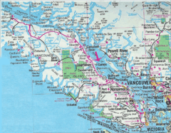
Vancouver Island Road Map
119 miles away
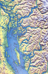
Northern Gulf Map
Map of Northern Gulf Islands
121 miles away
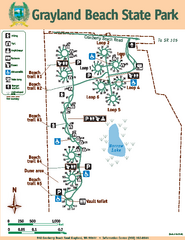
Grayland Beach State Park Map
Map of park with detail of trails and recreation zones
123 miles away
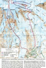
Mount Rainier Topo Map
Map of Mount Rainier Ascent. We ascended the "Muir Snowfield" and then went up the "...
123 miles away

