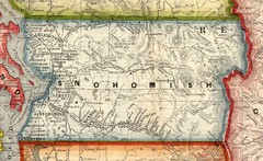
Snohomish County Washington, 1909 Map
70 miles away
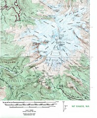
Mt. Baker Topo Map
Topo map of Mt. Baker, Washington, elevation 10,778ft.
70 miles away
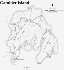
Gambier Island Trail Map
Trail map of Gambier Island, BC. See site for trail descriptions and details.
70 miles away
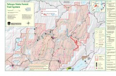
Tahuya State Forest Trail Map
Shows trails of Tahuya State Forest. Show roads, doubletrack, singletrack, and 4WD only.
70 miles away
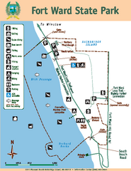
Fort Ward State Park Map
Map of park with detail of trails and recreation zones
70 miles away
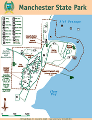
Manchester State Park Map
Map of park with detail of trails and recreation zones
71 miles away
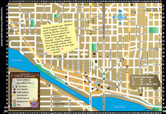
Fremont Walking Tour Map
Walking tour map of Fremont Washington in city of Seattle. Center of the known universe. Shows...
71 miles away
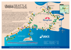
Seattle Marathon Map
Full Map of the Seattle Marathon with run details and location.
71 miles away
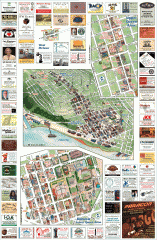
Queen Anne tourist map
Tourist map of Queen Anne, Washington. Shows all businesses.
72 miles away

Woodinville tourist map
Tourist map of Woodinville, Washington. Shows all businesses.
72 miles away
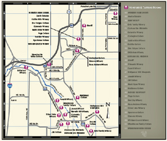
Woodinville Wine Country Map
Map of wineries in the Woodinville, WA area
72 miles away
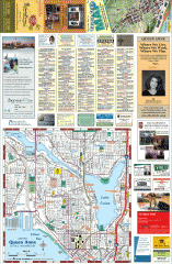
Queen Anne tourist map
Tourist map of Queen Anne, Washington. shows all businesses.
72 miles away
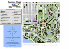
University of Washington map
72 miles away
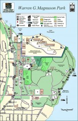
Warren G. Magnuson Park Map
Map of Warren G. Magnuson Park Warren G. Magnuson Park sits on a splendid mile-long stretch of...
72 miles away
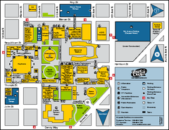
Seattle City Center, Washington Map
Map of points of interest in Seattle Center. KeyArena, the Space Needle, theaters, parking and...
73 miles away
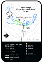
Dakota Ridge Ski Trail Map
Trail map from Dakota Ridge, which provides nordic skiing. This ski area has its own website.
73 miles away
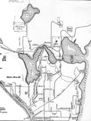
Seattle Historic Bike Paths Map
Historic bike paths in Seattle
73 miles away
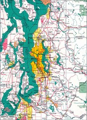
Seattle Region Map
73 miles away

Washington Park Arboretum Trail Map
Trail map of Washington Park Arboretum in Seattle.
74 miles away
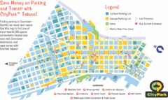
Seattle City Parks Map
74 miles away
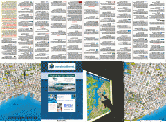
Downtown Seattle biotech map
Downtown Seattle map of biotechnology companies.
74 miles away
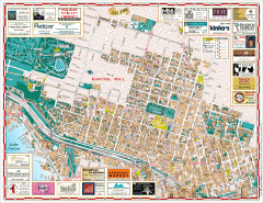
Capitol Hill tourist map
Tourist map of Capitol Hill in Seattle, Washington. Shows all businesses.
74 miles away
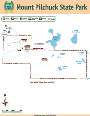
Mount Pilchuck State Park Map
Map of park with detail of trails and recreation zones
74 miles away
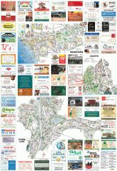
Kirkland tourist map
Kirkland, Washington tourist map. Shows all businesses.
74 miles away
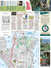
Greater Madison tourist map
Tourist map of Greater Madison, Washington. Shows all businesses.
74 miles away
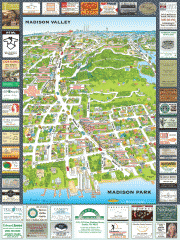
Madison Park tourist map
Tourist map of Madison Park, Washington. Shows all businesses.
74 miles away
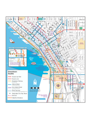
Downtown Seattle Bikeways Map
Map of bike paths, bike lanes, public transportation and points of interest in Seattle, Washington.
74 miles away

Seattle Shopping map for Lucky Magazine
Illustrated map of Seattle shopping locations illustrated by MapsIllustrated for Lucky Magazine(NYC)
74 miles away
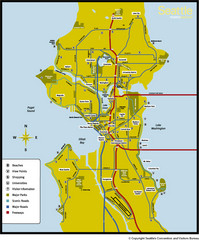
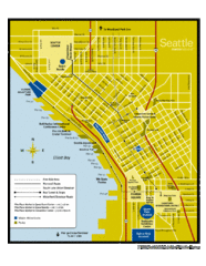
Seattle, Washington City Map
74 miles away
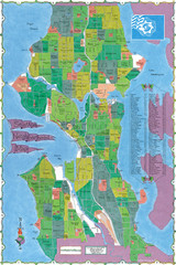
Seattle Neighborhood Map
74 miles away
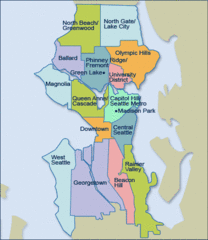
Seattle Neighborhood Map
74 miles away
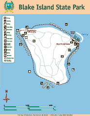
Blake Island State Park Map
Map of park with detail of trails and recreation zones
74 miles away
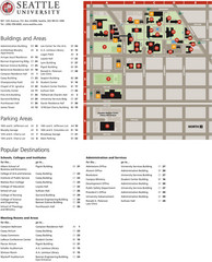
Seattle University Map
Campus Map
74 miles away
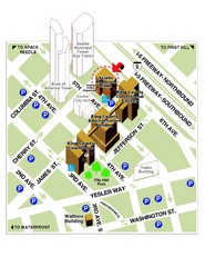
Municipal Court of Seattle Location Map
74 miles away
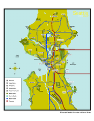
Neighborhoods of Seattle, Washington Map
Tourist map of Seattle, Washington, showing neighborhoods, parks, and scenic drives.
74 miles away
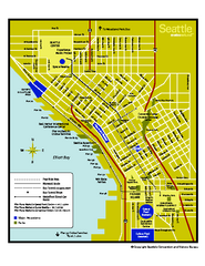
Downtown Seattle, Washington Map
Tourist map of downtown Seattle, Washington. Shows locations of Space Needle, Experience Music...
74 miles away
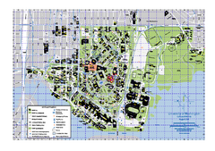
University of Washington - Seattle Campus Map
Campus Map of the University of Washington - Seattle Campus. All buildings shown.
74 miles away
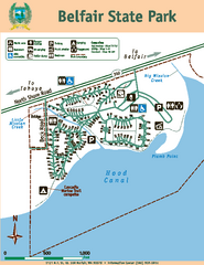
Belfair State Park Map
Map of park, with detail of trails and recreation zones
75 miles away
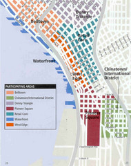
Seattle Neighborhoods Map
Map outlines several neighborhoods in Seattle, Wahsington
75 miles away

