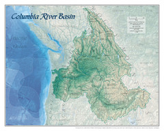
Columbia River Basin Map
340 miles away
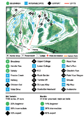
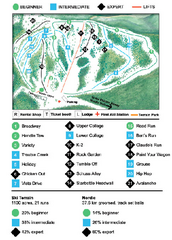
Anthony Lakes Mountain Resort Ski Trail Map
Trail map from Anthony Lakes Mountain Resort.
340 miles away
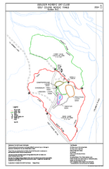
2004–06 Golden Golf Course Trail Map
Trail map from Golden Golf Course.
342 miles away
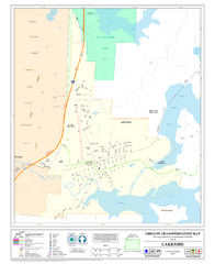
Lakeside Oregon Road Map
342 miles away

Rotary Trail Map
342 miles away
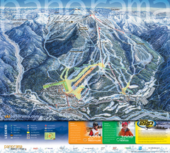
Panorama Mountain Village Ski Trail Map
Trail map from Panorama Mountain Village.
344 miles away
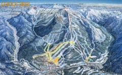
Panorama Ski Trail Map
Official ski trail map of Panorama ski area from the 2006-2007 season.
345 miles away

Panorama Trail Map
Ski trail map
345 miles away
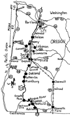
Oregon Walks Map
Walks in Portland, Oregon City, Corvallis, Salem, Lebanon, Albany, Eugene, Springfield, Junction...
347 miles away
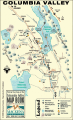
Columbia Valley Map
Easy to follow map and legend of this wilderness area.
348 miles away

Kootenay Rockies Map
The Kootenay Rockies Range in British Columbia, Canada
348 miles away
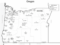
Oregon Airport Map
348 miles away
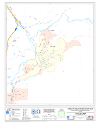
Oakland Oregon Road Map
350 miles away
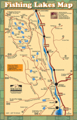
Radium Hot Springs Fishing Map
Beautiful map of the many fishing spots at this amazing site.
355 miles away
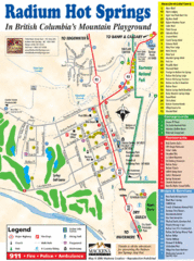
Radium Hot Springs Map
An easy to read map of this amazing hot springs area.
355 miles away
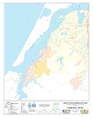
West Coos Bay Oregon Road Map
356 miles away
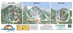
Lookout Pass Ski Trail Map
Official ski trail map of Lookout Pass ski area from the 2007-2008 season. Shows Montana, Idaho...
357 miles away
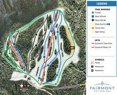
Fairmont Hot Springs Resort Ski Trail Map
Trail map from Fairmont Hot Springs Resort.
359 miles away
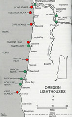
Lighthouses of the Oregon Coast Map
lighthouses (active, inactive, and destroyed) on the coast of Oregon (and the Columbia River)
363 miles away
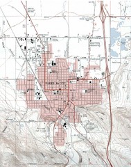
Baker City, Oregeon Tourist Map
363 miles away
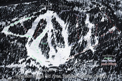
Ferguson Ridge Ski Trail Map
Trail map from Ferguson Ridge.
365 miles away
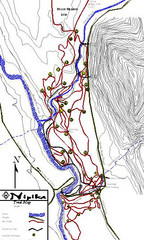
Nipika Ski Trail Map
Trail map from Nipika, which provides nordic skiing. This ski area has its own website.
366 miles away
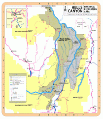
Hells Canyon National Recreation Area Map
Official Forest Service map of the Hells Canyon National Recreation Area. Shows roads, trails...
367 miles away
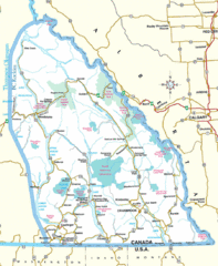
Kootenay Mountains Map
369 miles away
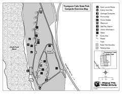
Thompson Falls State Park Map
This shaded, quiet campground is located on the Clark Fork River near the town of Thompson Falls in...
371 miles away
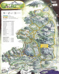
Diamond Lake Tourist Map
371 miles away
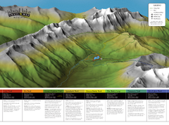
Island Lake Hiking Map
Hiking trail map of Island Lake area near Fernie, BC
374 miles away
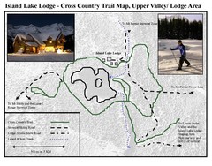
Island Lake Lodge Ski Trail Map
Trail map from Island Lake Lodge, which provides nordic skiing. This ski area has its own website.
374 miles away
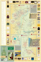
Oregon Winery Map / Local Side
374 miles away
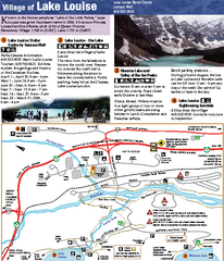
Lake Louise Area Map
Map of Lake Louise with detail of trails and recreation zones
375 miles away
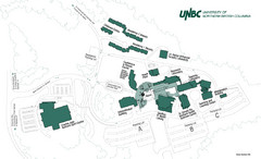
University of Northern British Columbia Campus Map
Campus map of UNBC in Prince George, British Columbia
375 miles away
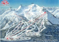
Jasper’s Marmot Basin Future Lift for Ski Trail...
Trail map from Jasper’s Marmot Basin, which provides downhill skiing. This ski area has its own...
376 miles away
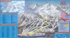
Jasper’s Marmot Basin Ski Trail Map
Trail map from Jasper’s Marmot Basin, which provides downhill skiing. This ski area has its own...
376 miles away
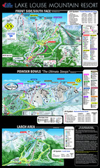
Lake Louise Trail Map
Ski area trail map for Lake Louise Mountain
376 miles away
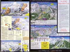
2007–08 2007–08 Ski Big 3 Side 2 (Lake Louise...
Trail map from Lake Louise, which provides downhill skiing. This ski area has its own website.
377 miles away
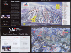
Lake Louise 2007–08 Ski Big 3 Side 1 (3...
Trail map from Lake Louise, which provides downhill skiing. This ski area has its own website.
377 miles away
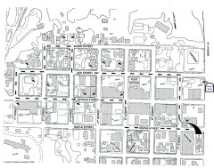
Myrtle Point walking tour Map
Walking tour map of the Historic homes of Myrtle Point in the Coquille Valley of Oregon.
377 miles away
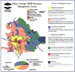
Prince George LRMP Resource Management Zone Map
Prince George Land and Resource Management Plan, color coded by land use.
377 miles away

