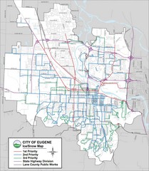
Eugene, Oregon City Map
307 miles away
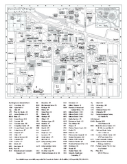
University of Oregon campus map
University of Oregon campus map with building abbreviations
307 miles away
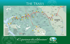
Bella Coola Valley Trail Map
Shows trails in region around Bella Coola, Hagensborg, and Firvale, British Columbia. Shows some...
307 miles away

Sandpoint City Map
Street map of downtown Sandpoint
308 miles away

Pullman Parks Trail Map
Trails and pathways map
309 miles away
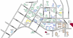
Washington State University's Greek Row Map
Map of WSU's fraternities and sororities
309 miles away
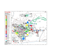
Washington State University Map
Washington State University Campus Map. All buildings shown.
309 miles away
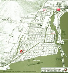
Map of Sandpoint, Idaho
Map of the entire town of Sandpoint including all streets, highways and other information.
309 miles away
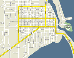
Sandpoint City Beach Map
Downtown Sandpoint Map.
309 miles away
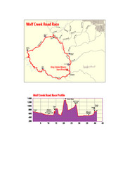
Wolf Creek Road Race Route and Route Elevation Map
Route map and elevation of Wolf Creek bike Race
310 miles away
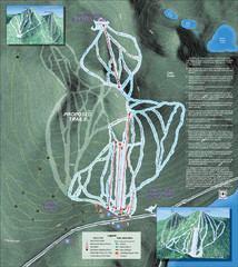
Willamette Pass Ski Trail Map
Trail map from Willamette Pass.
310 miles away
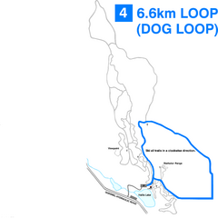
Hallis Lake Dog Loop Ski Trail Map
Trail map from Hallis Lake, which provides night and nordic skiing. This ski area has its own...
310 miles away

Hallis Lake Lighted Ski Trail Map
Trail map from Hallis Lake, which provides night and nordic skiing. This ski area has its own...
310 miles away
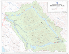
Bowron Lake Park Map
Topographical map of Bowron Lake Park
311 miles away
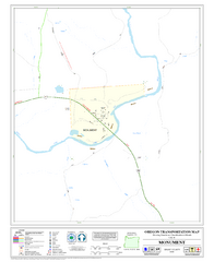
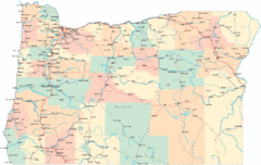
Monument Oregon Road Map
312 miles away
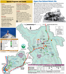
Glacier National Park and Revelstoke National...
Official park map of Glacier National Park and Revelstoke National Park in British Columbia, Canada.
312 miles away
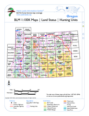
Oregon Hunting Unit/BLM Map Index
This map shows which BLM land ownership maps cover all hunting units in Oregon. Color indicates...
312 miles away

Stanley, British Columbia Map
314 miles away
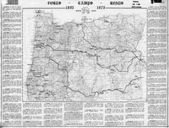
Oregon Military Map
Detailed guide to military forts, camps and roads on teh western Oregon coast
315 miles away
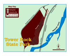
Tower Rock State Park Map
Tower Rock State Park is one of Montana's newest state parks. The 400-foot high igneous rock...
318 miles away
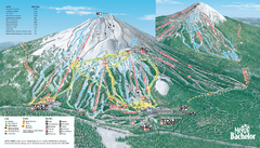
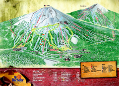
Mt. Bachelor Ski Trail map
Official ski trail map of Mount Bachelor ski area from the 2006-2007 season.
319 miles away
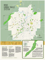
Bend urban trails system Map
The Bend Urban Trail System currently includes approximately 48 developed miles of trails which...
320 miles away
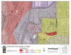
Bend, Oregon Zoning Map
Map of the zoning area changes in Bend, Oregon. Includes color-coded zoning areas.
320 miles away
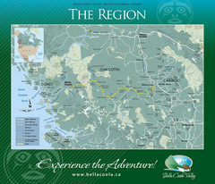
Bella Coola Valley Region Map
Shows large region around Bella Coola, British Columbia, from the northern tip of Vancouver Island...
321 miles away
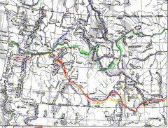
Oregon Trail Map
Old sketch map with modern cities, forts/ trading posts, and missions/churches superimposed. Shows...
322 miles away
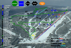
2004–07 Troll Downhill Map
Trail map from Troll. This ski area opened in 1972.
323 miles away
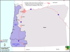
Oregon Coho Salmon Map
Shows federally listed coho salmon evolutionarily significant units in Washington state.
326 miles away
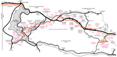
Trail of the Coeur d'Alenes Map
Shows the Trail of the Coeur d'Alenes, a 72 mile bike path that follows the Union Pacific...
328 miles away
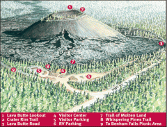
Newberry National Volcanic Monument - Lava Lands...
Map of Lava Butte which rises 500 feet above the visitor center. This cinder cone erupted 7,000...
328 miles away
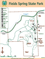
Fields Spring State Park Map
Map of park with detail of trails and recreation zones
331 miles away
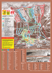
Kicking Horse Ski Trail Map 2009-10
Ski trail map of Kicking Horse ski area for the 2009-2010 season. Features 3 alpine bowls and 70...
338 miles away
Silver Mountain Resort Ski Trail Map
Trail map from Silver Mountain Resort, which provides downhill, night, and terrain park skiing. It...
338 miles away
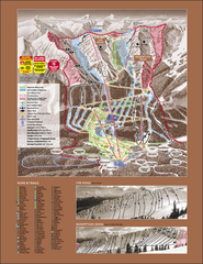
Kicking Horse Ski Trail Map 2007-08
Official ski trail map of Kicking Horse ski area from the 2007-2008 season.
338 miles away
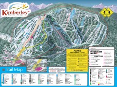
Kimberley Ski Trail Map
Official ski trail map of Kimberley ski area from the 2007-2008 season.
338 miles away
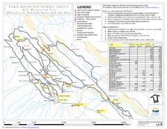
Dawn Mountain Nordic Ski Trail Map
Trail map from Dawn Mountain Nordic.
339 miles away
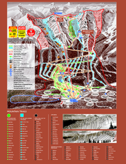
Kicking Horse Resort Ski Trail Map 2008-2009
Trail map from Kicking Horse Resort, which provides downhill and nordic skiing. This ski area has...
339 miles away
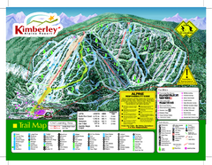
Kimberley Alpine Resort Ski Trail Map
Trail map from Kimberley Alpine Resort.
339 miles away

