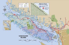
Vancouver Island Map
140 miles away
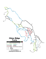
China Ridge XC Ski Trail Map
Trail map from China Ridge XC, which provides nordic skiing.
141 miles away
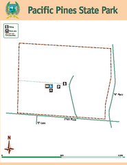
Pacific Pines State Park Map
Map of park with detail of trails and recreation zones
141 miles away
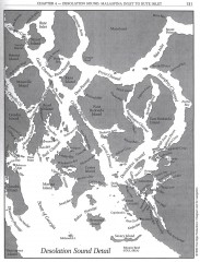
Desolation Sound Detail Map
Shows general geography of Desolation Sound from Malaspina Inlet to Bute Inlet. Shows Cortes Bay...
143 miles away
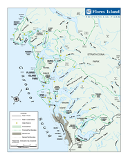
Flores Island Provincial Park Area Map
Park map of area around Flores Island Provincial Park, BC in the Clayoquot Sound. Flores Island is...
143 miles away
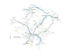
Pemberton Valley Area Parks Map
Area parks map of Pemberton Valley area in BC. Shows peaks and lakes.
144 miles away
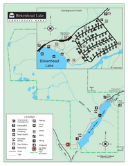
Birkenhead Lake Provincial Park Map
Park map of Birkenhead Lake Provincial Park, BC. Inset of campground
146 miles away
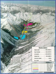
Cayoosh Resort (Melvin Creek) Ski Trail Map
Trail map from Cayoosh Resort (Melvin Creek), which provides downhill skiing.
147 miles away
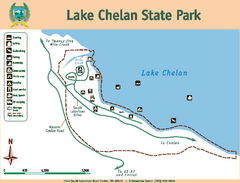
Lake Chelan State Park Map
Map of island with detail of trails and recreation zones
148 miles away
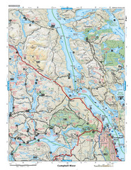
Campbell River Area Map
Vancouver Island, Victoria & Gulf Islands
149 miles away
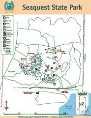
Seaquest State Park Map
Map of park with detail of trails and recreation zones
152 miles away
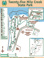
Twenty-Five Mile Creek State Park Map
Map of park with detail of trails and recreation zones
152 miles away
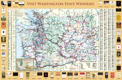
Washington State Winery Map
Washington State Winery Map
153 miles away
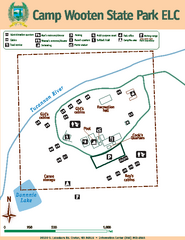
Camp Wooten State Park Map
Map of park with detail of trails and recreation zones
153 miles away
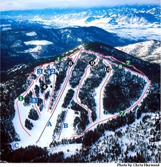
Loup Loup Ski Bowl Ski Trail Map
Trail map from Loup Loup Ski Bowl, which provides downhill, night, and nordic skiing. It has 2...
154 miles away
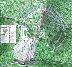
White Pass Ski Area Ski Trail Map
Trail map from White Pass Ski Area, which provides downhill, nordic, and terrain park skiing. It...
154 miles away
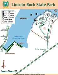
Lincoln Rock State Park Map
155 miles away
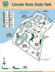
Lincoln Rock State Park Map
Map of park with detail of trails and recreation zones
155 miles away
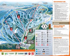
Mission Ridge Ski Trail Map
Official ski trail map of Mission Ridge ski area from the 2007-2008 season.
156 miles away
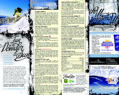
Mission Ridge Ski Area Ski Trail Map
Trail map from Mission Ridge Ski Area, which provides downhill, night, and terrain park skiing. It...
156 miles away
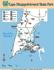
Cape Dissapointment State Park Map
Map of park with detail of trails and recreation zones
156 miles away
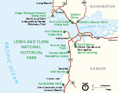
Lewis & Clark National Historic Trail...
Official NPS map of Lewis & Clark National Historic Trail in Oregon-Washington. Shows all areas...
158 miles away
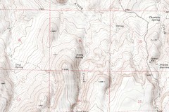
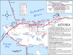
Astoria Oregon Map
A detailed topographic map of Astoria, Oregon and the Columbia River.
160 miles away
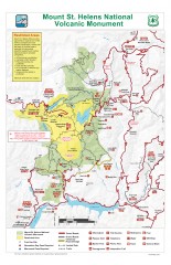
Mt. Saint Helens National Volcanic Monument...
Official recreation map showing all roads, trails, campgrounds, and other facilities. Also shows...
161 miles away
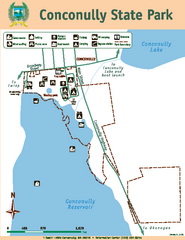
Conconully State Park Map
Map of park with detail of trails and recreation zones
161 miles away
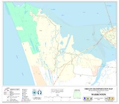
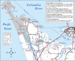
Warrenton Oregon Road Map
163 miles away
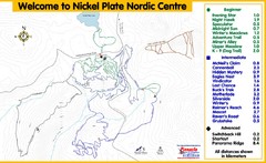
Nickel Plate Nordic Centre Ski Trail Map
Trail map from Nickel Plate Nordic Centre.
163 miles away
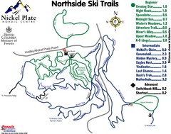
Nickel Plate Nordic Centre North Ski Trail Map
Trail map from Nickel Plate Nordic Centre.
163 miles away
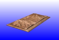
Mount St. Helens carved in wood by carvedmaps.com...
Mount St. Helens carved in wood by carvedmaps.com
165 miles away
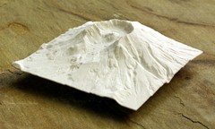
Mt. St. Helens 3D Print Map
This is a 3D-printed map of the cone, crater, and summit of Mt. St. Helens in Washington, USA. It...
165 miles away
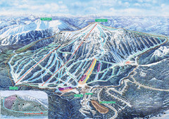
Apex Mountain Ski Trail Map
Official ski trail map of Apex Mountain ski area
165 miles away
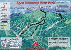
Apex Mountain Resort Biking Ski Trail Map
Trail map from Apex Mountain Resort, which provides downhill and terrain park skiing. It has 5...
165 miles away
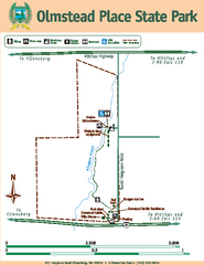
Olmstead Place State Park Map
Map of park with detail of trails and recreation zones
166 miles away
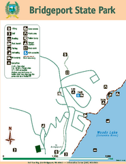
Bridgeport State Park Map
Map of park with detail of trails and recreation zones
171 miles away
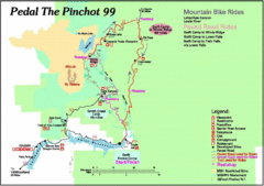
Pedal the Pinchot Bike Ride Route Map
Route Map for the Pedal the Pinchot 99 bike ride - annotated on a Park trail map.
174 miles away
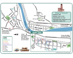
Ashcroft Map
Map of Ashcroft, includes all streets, highways, accommodations and attractions.
180 miles away
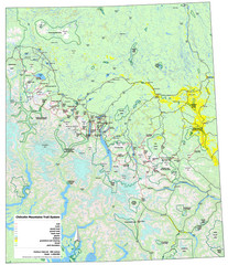
Chilcotin Mountains Trail System Map
Trail system map of the Chilcotin Mountains in BC, Canada "On the trail system map '...
180 miles away
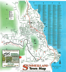
Summerland Town Map
Map of Summerland with details on outdoor-recreation locations and streets
181 miles away

