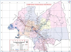
Kampong Thum Province Cambodia Road Map
1582 miles away
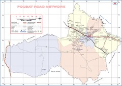
Pousat Province Cambodia Road Map ( Pursat...
1585 miles away
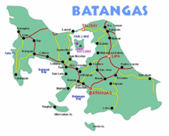
Batangas Tourist Map
1586 miles away
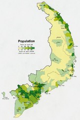
South Vietnam Population Map
Map marking population according to persons per square mile.
1586 miles away
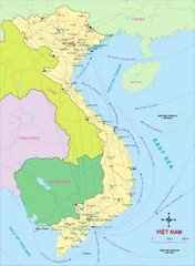
Vietnam Map
Country map of Vietnam. Shows neighboring countries.
1586 miles away
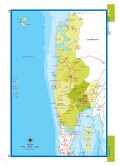
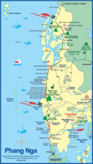
Phangnga, Thailand Map
1587 miles away
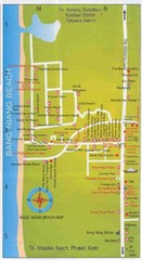
Bang Niang Beach Map
1593 miles away

Rotanak Kiri Province Cambodia Road Map
1594 miles away
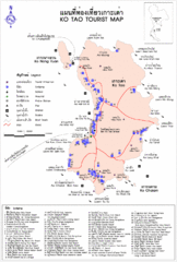
Ko Tao Province Map
1597 miles away
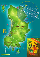
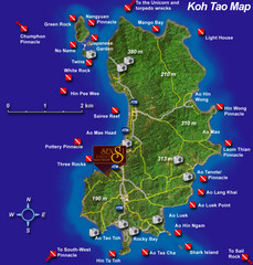
Koh Tao Tourist Map
An island famous for its diving
1598 miles away

Stueng Traeng Province Cambodia Road Map
1601 miles away
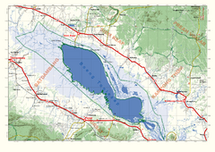
Tonle Sap Map
Regional map of Tonle Sap, Cambodia. Features some major temples, access roads, cities and villages
1602 miles away
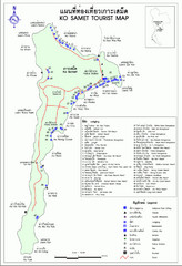
Ko Samet Tourist Map
Tourist map of Ko Samet province of Thailand. Shows points of interest and lodging.
1603 miles away
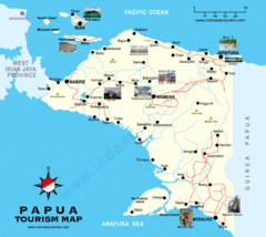
Papua Tourist Map
Tourist map of Papua, Indonesia. Shows photos of some locations.
1605 miles away
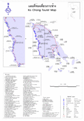
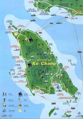
Ko Chang Island Tourist Map
Includes locations and landmarks on Ko Chang Island in Thailand
1613 miles away

Bailan Bay Beach Tourist Map
1613 miles away
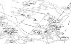
Legazpi City Area Map
City map of Legazpi, Phillipines area. Shows Legazpi Port district and Old Albay District
1615 miles away

Klong Prao, Koh Chang Guide Map
1616 miles away

Lonely Beach, Koh Chang Guide Map
1616 miles away

White Sands Beach, Koh Chang Map
1616 miles away

Ko Chang White Sand Beach Tourist Map
1619 miles away
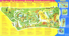
Splash Island Water Park Map
Map of Splash Island waterpark in Biñan, Laguna, Philippines . Scanned.
1619 miles away
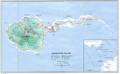
Corregidor Island Map
Elevation map with major roads and installations of Corregidor Island Battlefield Memorial
1620 miles away
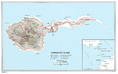
Corregidor Island WWII Map
Shows World War II fortifications on Corregidor Island, Philippines
1620 miles away
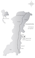
Basic Southern Thailand Tourist Map
1621 miles away

Northern Territory Australia Tourist Map
1624 miles away

Trat Province Guide Map
1629 miles away
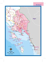
Trat, Thailand Map
1629 miles away
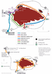
Uluru Walks Map
Shows walks around Uluru (aka Ayer's Rock) in the Outback
1633 miles away

Western Australia State Barrier Fence Map
Map shows the Rabbit barrier fence built in 1901 in Burracoppin and Merredin just east of Perth.
1634 miles away
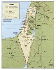
Israel Country map
1636 miles away
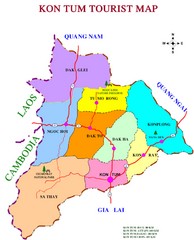
Kon Tum Road Map
Road map of Kon Tum, Vietnam region. (map says tourist map but more a road map)
1636 miles away
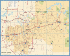
Wheatbelt Central Western Australia Map
Map of the central wheatbelt area near Merredin, Western Australia
1637 miles away
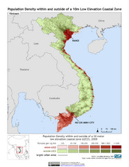
Vietnam 10m LECZ and Population Density Map
Low Elevation Coastal Zone and population desnsity within and outside of a 10 meter low evelevation...
1640 miles away
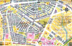
Makati City Tourist Map
Makati City, Philippines tourist map
1640 miles away
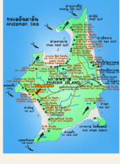
Phayam Island Tourist Map
1641 miles away

