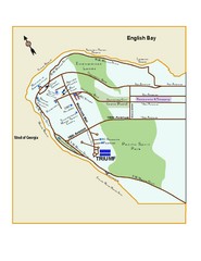
Downtown Vancouver Map
125 miles away
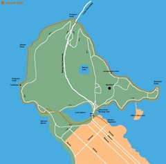
Stanley Park Map
126 miles away
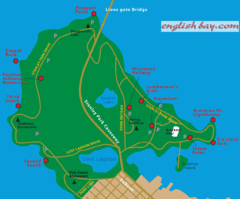
Stanely Park Map
126 miles away
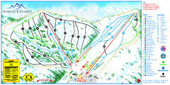
Hemlock Resort Ski Trail Map
Trail map from Hemlock Resort, which provides downhill and terrain park skiing. It has 4 lifts...
126 miles away
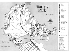
Stanley Park Trail Map
Trail map of Stanley Park near downtown Vancouver, BC. Shows monuments.
126 miles away
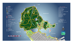
Stanley Park Map
Overview trail map of Stanley Park in Vancouver, BC.
126 miles away
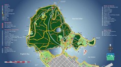
Stanley Park Map
126 miles away
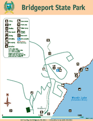
Bridgeport State Park Map
Map of park with detail of trails and recreation zones
126 miles away
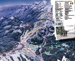
Mount Seymour Ski Trail Map
Trail map from Mount Seymour, which provides downhill, night, and terrain park skiing. It has 5...
128 miles away
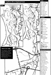
Capilano River Park Trail Map
Trail map of Capilano River Regional Park near Vancouver, BC
129 miles away
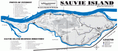
Sauvie Island tourist map
Tourist map of Sauvie Island in Oregon. Shows all businesses and points of interest.
130 miles away
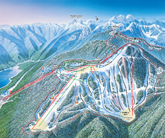
Grouse Mountain Ski Trail Map
Trail map from Grouse Mountain, which provides downhill, night, and terrain park skiing. It has 5...
131 miles away
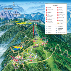
Grouse Mountain Summer Trail Map
Summer trail map of Grouse Mountain Resort near Vancouver, BC.
131 miles away

BANKS-VERNONIA STATE TRAIL Map
132 miles away
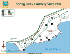
Spring Creek Hatchery State Park map
Map of park with detail of trails and recreation zones
132 miles away
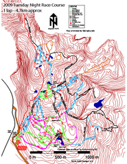
Cypress Mountain Tuesday Night Race Course Ski...
Trail map from Cypress Mountain, which provides downhill, night, nordic, and terrain park skiing...
133 miles away
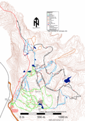
Cypress Mountain Nordic (Skiingbc.info Topo...
Trail map from Cypress Mountain, which provides downhill, night, nordic, and terrain park skiing...
133 miles away
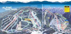
Cypress Mountain Ski Trail Map
Official ski trail map of Cypress Mountain ski area from the 2007-2008 season. Official freestyle...
134 miles away
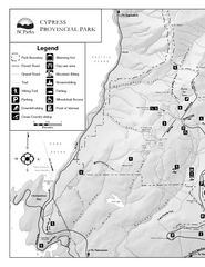
Cypress Provincial Park Map
Park map of Cypress Provincial Park, BC. Home of the North Shore Mountains. 2 pages.
134 miles away
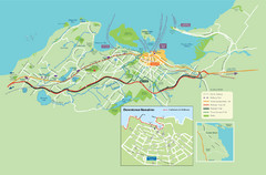
Nanaimo City Map
Map of Nanaimo, BC. Shows trails and parks.
134 miles away
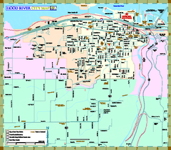
Hood River Map
Tourist map of city of Hood River, Oregon.
134 miles away
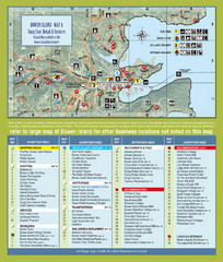
Bownen Island Tourist Map
134 miles away

Bowen Island 3D Aerial Map
3d aerial map of Bowen Island, BC
134 miles away
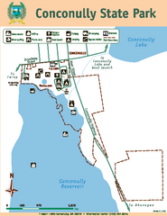
Conconully State Park Map
Map of park with detail of trails and recreation zones
135 miles away
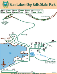
Sun Lakes-Dry Falls State Park Map
Map of park with detail of trails and recreation zones
136 miles away
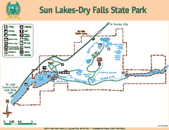
Sun Lakes-Dry Falls State Park Map
Map of park with detail of trails and recreation zones
136 miles away
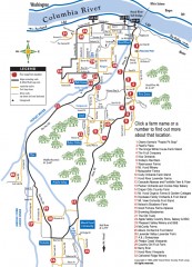
Hood River County Fruit Loop map
35-mile scenic drive through the valley's orchards, forests, farmlands, and friendly...
137 miles away
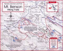
Mt. Benson Hiking Trail Map
Show hiking trails in the Nanaimo and Area Land Trust containing Mt. Benson. Also shows roads and...
137 miles away
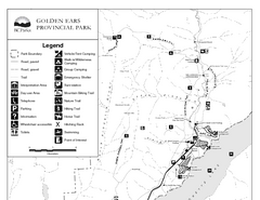
Golden Ears Provincial Park Map
Park map of Golden Ears Provincial Park, BC. 2 pages.
137 miles away
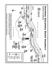
Historic Columbia River Highway Map
Official map from the US Forest Service. Shows the Corbett to Dodson stretch of Highway 30 with...
138 miles away
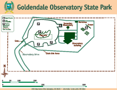
Goldendale State Park Map
Map of park with detail of trails and recreation zones
138 miles away
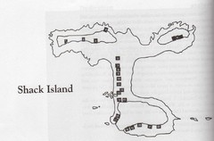
Shack Island Map
Illustration taken from the book "Shack Island" by Ruth English Matson. 2004.
138 miles away
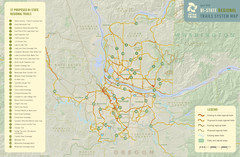
Bi-State Regional Trail System Plan Map
Shows plan for developing 37 Bi-State Regional Trails
139 miles away
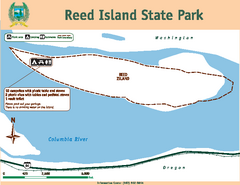
Reed Island State Park Map
Map of park with detail of trails and recreation zones
139 miles away

Maywood Park Oregon Road Map
140 miles away
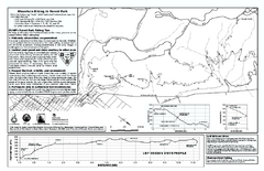
Forest Park Mountain Biking Map
Forest Park now includes over 5,100 wooded acres making it the largest, forested natural area...
140 miles away
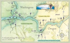
Columbia Gorge Wine Map
Wineries of the Columbia River Gorge area, Oregon.
141 miles away
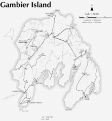
Gambier Island Trail Map
Trail map of Gambier Island, BC. See site for trail descriptions and details.
142 miles away
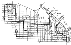
Pearl District Walking Map, Portland Oregon Map
Walk through the Pearl District, along the Willamette River and up to 23rd Street. Detour to the...
142 miles away
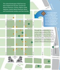
Old Town-China Town Map
Portland's oldest neighborhoods and history are easily seen in Old Town-China Town.
143 miles away

