Galloping Goose and Lochside Regional Trails Map
83 miles away
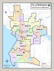
Bellingham Ward Map
Guide to wards in Bellingham, WA
83 miles away
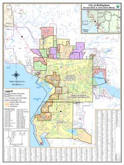
Bellingham, Washington City Map
83 miles away
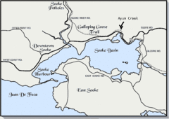
Community of Sooke, British Columbia Map
http://www.sooke.org/maps/map2.htm © Pax Media Inc.
86 miles away
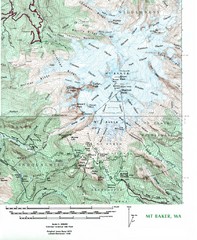
Mt. Baker Topo Map
Topo map of Mt. Baker, Washington, elevation 10,778ft.
87 miles away

rthsaanich.ca District Map
89 miles away
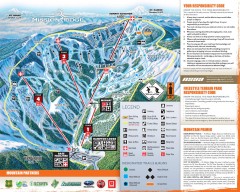
Mission Ridge Ski Trail Map
Official ski trail map of Mission Ridge ski area from the 2007-2008 season.
90 miles away
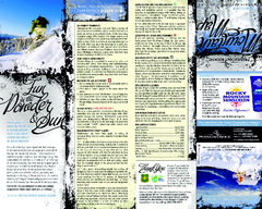
Mission Ridge Ski Area Ski Trail Map
Trail map from Mission Ridge Ski Area, which provides downhill, night, and terrain park skiing. It...
90 miles away
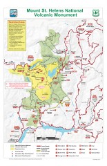
Mt. Saint Helens National Volcanic Monument...
Official recreation map showing all roads, trails, campgrounds, and other facilities. Also shows...
90 miles away

The Town of Sidney - Parks Map
91 miles away
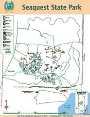
Seaquest State Park Map
Map of park with detail of trails and recreation zones
91 miles away
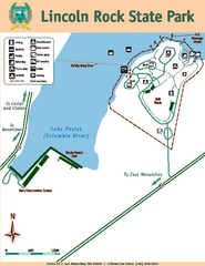
Lincoln Rock State Park Map
93 miles away
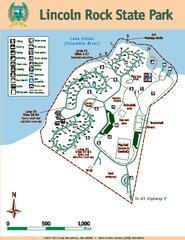
Lincoln Rock State Park Map
Map of park with detail of trails and recreation zones
93 miles away
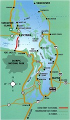
British Columbia, Canada Tourist Map
93 miles away
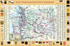
Washington State Winery Map
Washington State Winery Map
93 miles away
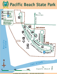
Pacific Beach State Park Map
Map of park with detail of trails and recreation zones
93 miles away
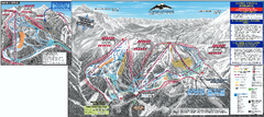
Mt. Baker Ski Trail Map
Official ski trail map of Mount Baker ski area from the 2007-2008 season.
93 miles away
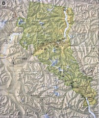
North Cascades National Park Physical Map
National Park
94 miles away
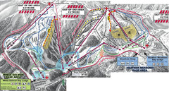
Mt. Baker Ski Area Ski Trail Map
Trail map from Mt. Baker Ski Area, which provides terrain park skiing. It has 10 lifts servicing 38...
94 miles away
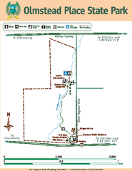
Olmstead Place State Park Map
Map of park with detail of trails and recreation zones
94 miles away
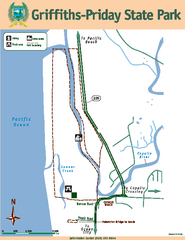
Griffiths-Priday State Park Map
Griffiths-Priday State Park
94 miles away
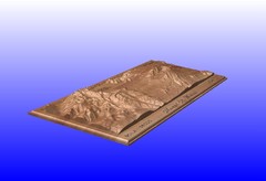
Mount St. Helens carved in wood by carvedmaps.com...
Mount St. Helens carved in wood by carvedmaps.com
95 miles away
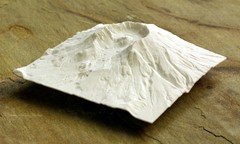
Mt. St. Helens 3D Print Map
This is a 3D-printed map of the cone, crater, and summit of Mt. St. Helens in Washington, USA. It...
95 miles away
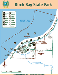
Birch Bay State Park Map
Map of park with detail of trails and recreation zones
95 miles away
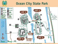
Ocean City State Park Map
Map of park with detail of trails and recreation zones
96 miles away
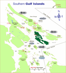
Southern Gulf Islands Map
Map of the region. Shows ferry routes.
96 miles away
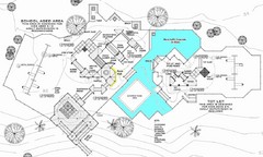
Lynden City Park Map
96 miles away
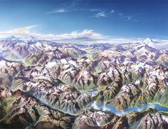
North Cascades National Park Oblique Map
Oblique map looking across Ross Damn, and Diablo Lake towards Seattle
96 miles away
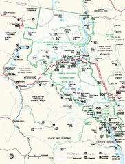
North Cascades National Park map
Official NPS map of North Cascades National Park, Washington. Shows the entire park and...
97 miles away
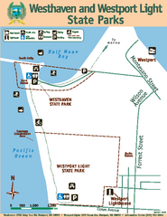
Westhaven/Westport Light State Parks Map
Map of park with detail of trails and recreation zones
98 miles away
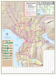
Bellingham, Washington City Map
99 miles away
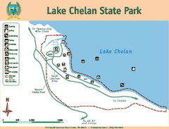
Lake Chelan State Park Map
Map of island with detail of trails and recreation zones
99 miles away
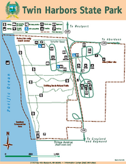
Twin Harbors State Park Map
Map of park with detail of trails and recreation zones
99 miles away
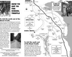
Kinsol Trestle Map
Map of the Kinsol Trestle
99 miles away
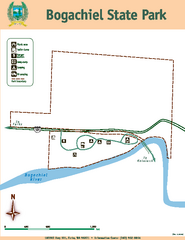
Bogachiel State Park Map
Map of park with detail of trails and recreation zones
99 miles away
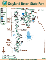
Grayland Beach State Park Map
Map of park with detail of trails and recreation zones
101 miles away
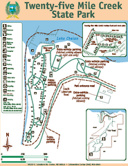
Twenty-Five Mile Creek State Park Map
Map of park with detail of trails and recreation zones
103 miles away
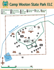
Camp Wooten State Park Map
Map of park with detail of trails and recreation zones
103 miles away
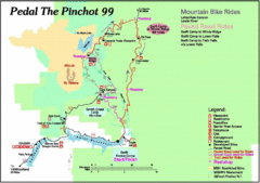
Pedal the Pinchot Bike Ride Route Map
Route Map for the Pedal the Pinchot 99 bike ride - annotated on a Park trail map.
105 miles away

