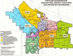
Portland Neighborhood Map
Shows neighborhood associations of Portland, Oregon.
143 miles away
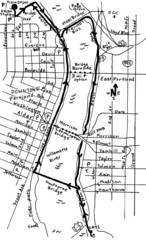
Portland Oregon downtown walk Map
Walk from the Amtrak Station to the Oregon Museum of Science and Industry. 4 miles round trip...
143 miles away
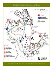
Portland Japanese Garden Map
So Far My favorite Japanese Garden
143 miles away
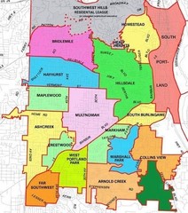
Portland, Oregon Neighborhood Map
143 miles away
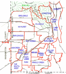
Portland, Oregon Neighborhood Map
143 miles away
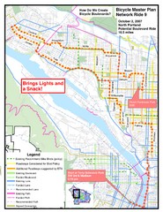
Portland, Oregon Bike Map
143 miles away
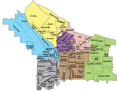
Portland, Oregon Neighborhood Map
143 miles away
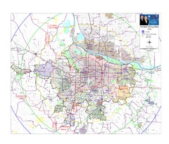
Portland, Oregon Tourist Map
143 miles away
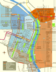
Central Portland, Oregon Map
Tourist map of Portland, Oregon. Shows museums, sports arenas, parks, and public transportation.
143 miles away
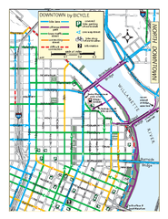
North Downtown Portland Bike Parking Map
Biking map of northern downtown Portland, Oregon. Shows bike paths, parking, and stores.
143 miles away
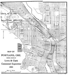
Portland, Oregon Map
Map of Portland, Oregon during centennial exposition of the Lewis & Clark Exploration...
143 miles away
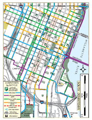
South Downtown Portland Bike Map
Biking map of southern downtown Portland, Oregon. Shows bike paths, bike parking, and bike shops.
143 miles away
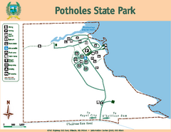
Potholes State Park Map
Map of park with detail of trails and recreation zones
143 miles away
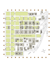
Portland State University Map
Campus Map of Portland State University. All buildings shown.
143 miles away
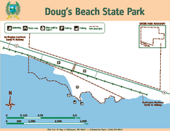
Dougs Beach State Park Map
Map of park with detail of trails and recreation zones
144 miles away
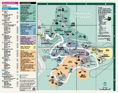
Oregon Zoo Map 2009
144 miles away
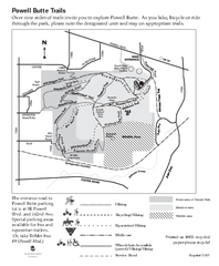
Powell Butte Nature Park Trail Map
Trail map of Powell Butte Nature Park. Shows over 9 miles of trails
144 miles away
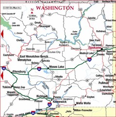
Eastern Washington Road Map
147 miles away
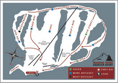
Cooper Spur Ski Area Ski Trail Map
Trail map from Cooper Spur Ski Area.
147 miles away
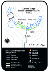
Dakota Ridge Ski Trail Map
Trail map from Dakota Ridge, which provides nordic skiing. This ski area has its own website.
147 miles away

Happy Valley Oregon Road Map
147 miles away

Tigard Oregon Road Map
150 miles away

Lake Oswego Oregon Road Map
150 miles away
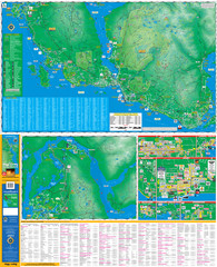
Folded Sunshine Coast Super Map
Folded Sunshine Coast Super Map
151 miles away
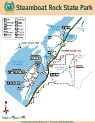
Steamboat Rock State Park Map
Map of park with detail of trails and recreation zones
152 miles away

King City Oregon Road Map
152 miles away
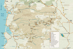
Tillamook State Forest Map
Recreation map of Tillamook State Forest. Over 60 miles of non-motorized trails and 150 miles of...
152 miles away
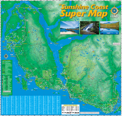
Sunshine Coast Super Map
Sunshine Coast Super Map Poster. 44" X 42". Also Available in folded version.
153 miles away
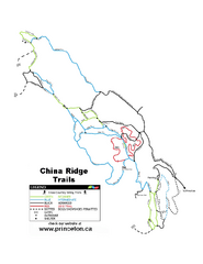
China Ridge XC Ski Trail Map
Trail map from China Ridge XC, which provides nordic skiing.
154 miles away
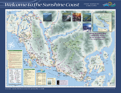
Lower Sunshine Coast Recreation Map
Recreation map of the Lower Sunshine Coast in BC. Shows hiking trails, mountain biking trails...
155 miles away
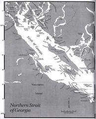
Northern Strait of Georgia Map
156 miles away
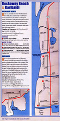
Rockaway Beach Map
157 miles away
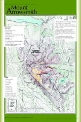
Mount Arrowsmith Climbing Route Map
Climbing routes on Mount Arrowsmith, Vancouver Island
157 miles away

Timberline Ski Area Ski Trail Map
Trail map from Timberline Ski Area.
157 miles away
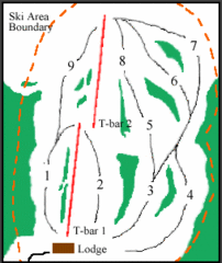
Mount Arrowsmith (Upper) Ski Trail Map
Trail map from Mount Arrowsmith (Upper).
157 miles away
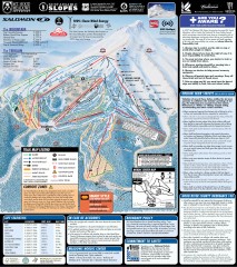
Mt. Hood Meadows Ski Trail Map
Official ski trail map of Mt. Hood Meadows ski area from the 2007-2008 season.
157 miles away
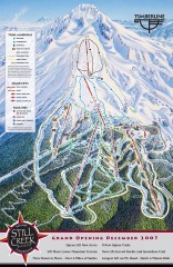
Timberline Ski Trail Map
Official ski trail map of Timberline Lodge ski area from the 2007-2008 season.
157 miles away
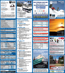
Mt. Hood Meadows Ski Resort Ski Trail Map
Trail map from Mt. Hood Meadows Ski Resort.
157 miles away


