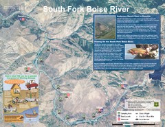
South Fork Boise River Map
Map of the South Fork of the Boise River from Anderson Ranch Dam to Neal Bridge. Premier wild...
535 miles away
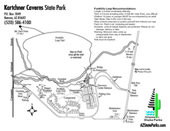
Kartchner Caverns State Park Map
Map of park with detail of trails and recreation zones
535 miles away
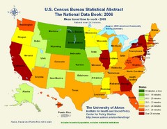
United States Travel Time to Work Statistical Map
536 miles away
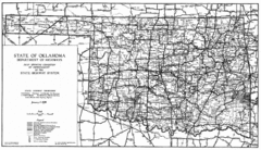
Oklahama Highway Map
Highway Map of Oklahoma State circa 1935. Includes all roads, towns, and detailed information on...
538 miles away
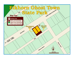
Elkhorn Ghost Town State Park Map
Clearly marked map of old 1880's ghost town with impressive structures.
542 miles away
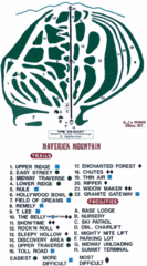
Maverick Mountain Ski Area Ski Trail Map
Trail map from Maverick Mountain Ski Area.
543 miles away
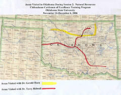
Oklahoma County Map
544 miles away
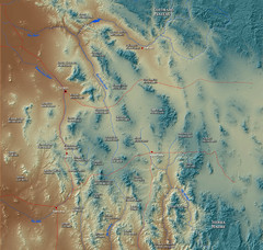
US and Mexico Sky Islands Map
Madrean Sky Islands of the U.S. and Mexico
551 miles away

Light Rail Route Map
Map of Light Rail system throughout Sierra Vista
552 miles away
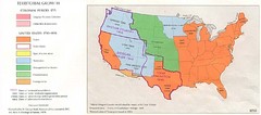
Territorial Expansion in Eastern United States...
552 miles away
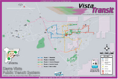
Sierra Vista Transit Route Map
Route Map of Sierra Vista Transit Bus System. Includes all transit routes, bus stops, streets...
552 miles away

Oregon Trail Historical Map
552 miles away

Geological Map of the San Pedro River
This is a map of the San Pedro River valley up to where it joins the Gila.
552 miles away
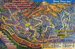
Bisbee, AZ Stairclimb 2010 Map
5K race map. This map does not do the website justice. Definitely a must-see.
553 miles away
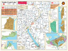
Tuttle Creek Lake Map
Army Corps of Engineers Map of Tuttle Creek Lake and adjoining State Parks.
553 miles away

Kitt Peak National Observatory Map
556 miles away
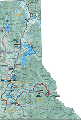
Northern Idaho Road Map
556 miles away
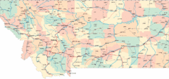
Montana Road Map
557 miles away
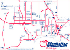
Manhattan (Kansas) City Map
City Map of Manhattan, Kansas including Kansas State University
557 miles away
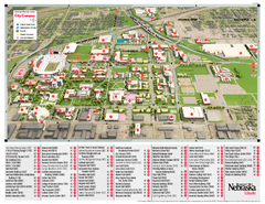
University of Nebraska - Lincoln Map
Campus Map of the University of Nebraska - Lincoln Campus. All areas shown.
558 miles away
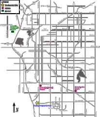
Lincoln, Nebraska City Map
558 miles away
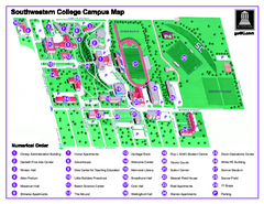
Southwestern College Campus Map
Southwestern College Campus Map. Shows all buildings.
558 miles away
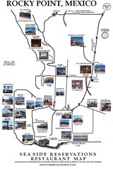
Rocky Point, New Mexico Restaurants Map
559 miles away
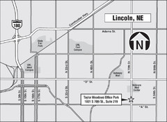
Lincoln, Nebraska Map
559 miles away
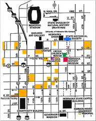
Downtown Lincoln, Nebraska Map
Red is the Nebraska History Museum. School bus parking is on the west side of 15th Street in front...
559 miles away
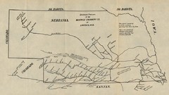
Skimming Stations of the Beatrice Creamery...
"Skimming Stations of the Beatrice Creamery Co. of Lincoln, Neb." From Report of the...
559 miles away
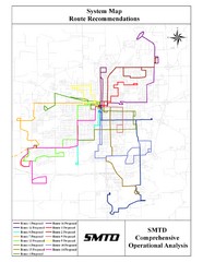
Lincoln Bus Map
559 miles away
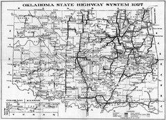
Oklahoma State Highway Map
Highway Map of Oklahoma State circa 1927. Includes all main roads and highways up to state...
561 miles away
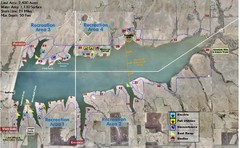
Winfield City Lake Map
Recreation map of Winfield City Lake in Winfield, Kansas. Named Timber Creek Lake. Shows camping...
562 miles away
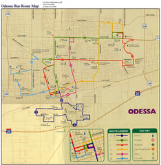
Odessa Bus Route Map
City of Odessa, Texas Bus Map with street level detail.
562 miles away
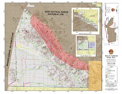
Barry M. Goldwater Range Topographical Map
Map showing detailed information about the Barry M. Goldwater Range, Sauceda and Sand Tank...
563 miles away

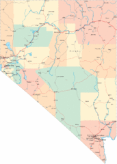
Nevada Map
564 miles away
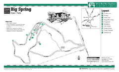
Big Spring, Texas State Park Map
564 miles away
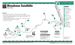
Monahans-Sandhills, Texas State Park Facility and...
564 miles away
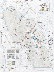
Death Valley National Park map
Official NPS map of Death Valley National Park. Shows all roads (paved and unpaved), 4 wheel drive...
565 miles away
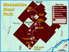
Makoshika State Park Map
To the Sioux Indians, Ma-ko-shi-ka meant bad earth or bad land. Today, as Montana’s largest...
565 miles away
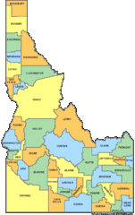
Idaho Counties Map
566 miles away

