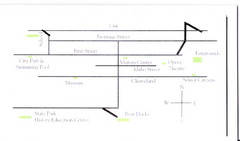
Glenns Ferry City Map
City map of Glenns Ferry, Idaho with information
510 miles away
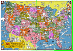
A MAD Pictorial Map of the United States - Front...
I found these raw assembled scans in a dieing torrent in 2010. Hash code...
511 miles away
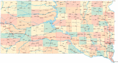
South Dakota Road Map
511 miles away

Las Vegas Ski & Snowboard Resort Ski Trail Map
Trail map from Las Vegas Ski & Snowboard Resort, which provides downhill skiing.
513 miles away
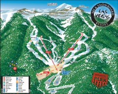
Las Vegas Ski & Snowboard Resort Ski Trail Map
Official ski trail map of Las Vegas Ski & Snowboard Resort (LVSSR) from the 2007-2008 season.
513 miles away
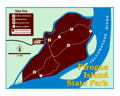
Pirogue Island State Park Map
Visitors find this isolated and undeveloped cottonwood-covered Yellowstone River island an...
513 miles away
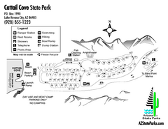
Cattail Cove State Park Map
Map of park with detail of trails and recreation zones
514 miles away
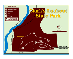
Clark's Lookatout State Park Map
Clearly marked State Park Map.
515 miles away
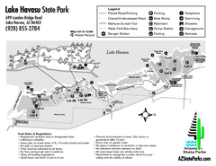
Lake Havasu State Park Map
Map of park with detail of trails and recreation zones
516 miles away
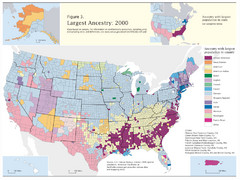
Census 2000 Data Top US Ancestries by County Map
Guide to Ancestries in the US
518 miles away
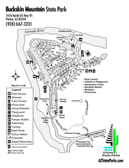
Buckskin Mountain State Park Map
Map of park with detail of trails and recreation zones
518 miles away
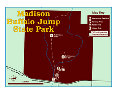
Madison Buffalo Jump State Park Map
You’ll find this day-use-only park seven graveled miles off Interstate 90 at the Logan exit...
518 miles away
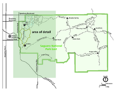
Saguaro National Park Map - Rincon District
Park map of Saguaro National Park East, the Rincon District
519 miles away
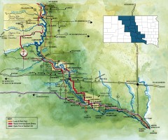
Great Lakes of South Dakota Map
Shows "the other Great Lakes" stretching along the Missouri River in South Dakota. Shows...
519 miles away
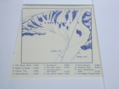
Devil’s Nest Devil’s Nest Ski Trail Map
Trail map from Devil’s Nest. This ski area opened in 1972.
520 miles away
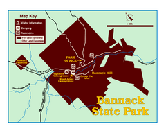
Bannack State Park Map
522 miles away
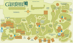
Tucson Botanical Gardens Map
Very nice botanical garden with great native plant sales.
523 miles away
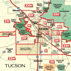
Tucson, Arizona City Map
523 miles away
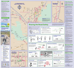
Tuscon Metro Bike Map (Back)
523 miles away
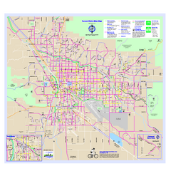
Tucson Metro Bike Map
Bike route map of the city of Tucson, Arizona.
523 miles away
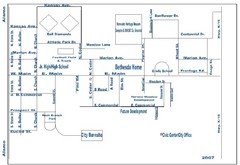
Goessel City Map
City Map of Goessel, Kansas
523 miles away
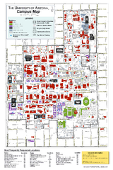
University of Arizona Campus Map
Campus map of the University of Arizona. All buildings shown.
524 miles away
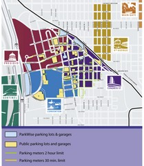
Tuscon Map
Parking garages, lots, and meters in Tuscon.
524 miles away
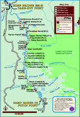
Smith River State Park Map
The Smith River is a unique 59-mile river corridor. Permits are required to float the stretch of...
524 miles away
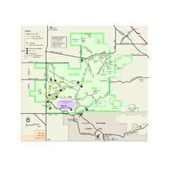
Saguaro National Park Official Park Map
Official NPS map of Saguaro National Park in Arizona. Map shows all areas. Both districts of the...
526 miles away
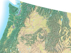
Northwest USA topo Map
527 miles away
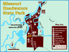
Missouri Headwaters State Park Map
This park encompasses the confluence of the Jefferson, Madison and Gallatin Rivers. The Lewis and...
527 miles away
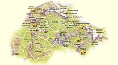
Arizona-Sonora Desert Museum Map
527 miles away
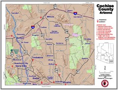
Cochise County Map
528 miles away
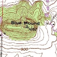
Mont Bleau Ski Trail Map
Trail map from Mont Bleau. This ski area opened in 1965/66.
529 miles away
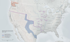
United States, Westward Expansion Map
529 miles away
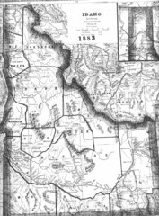
Idaho 1883 Map
530 miles away
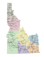
Idaho Road Map
530 miles away
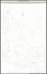
Idaho Zip Code Map
Check out this Zip code map and every other state and county zip code map zipcodeguy.com.
530 miles away
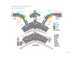
Tucson International Airport Terminal Map
Official Map of Tucson International Airport. Shows all terminals.
531 miles away
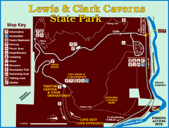
Lewis and Clark Caverns State Park Map
Montana's first and best-known state park showcases one of the most highly decorated limestone...
531 miles away
2004 Migrant Deaths, Water Station and Resue...
Deaths by type identified by location on map along with land management owner.
531 miles away
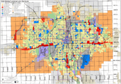
Wichita Functional Land Use Guide Map
Development map for future land use by 2030
531 miles away
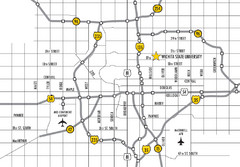
Wichita, Kansas City Map
533 miles away

