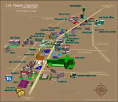
Las Vegas, NV Tourist Map
493 miles away
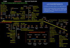
Las Vegas Strip Restaurant Map
493 miles away
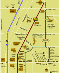
Las Vegas Strip Restaurant Map
493 miles away
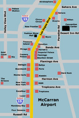
Las Vegas Hotel Map
493 miles away
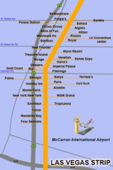
The LV Strip Map
This is a map of the Las Vegas Strip with the names of the hotels located around it.
493 miles away
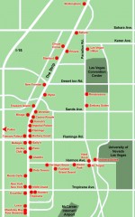
Las Vegas Strip hotel map
Map of all the hotels on The Strip in Las Vegas
493 miles away
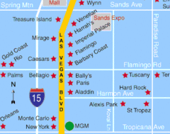
Las Vegas, South Strip Area Map
493 miles away
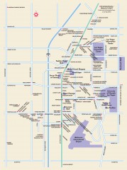
Las Vegas Strip, Las Vegas, Nevada Map
Tourist map of the Las Vegas Strip, in downtown Las Vegas, Nevada. Shows casinos, hotels, and other...
493 miles away
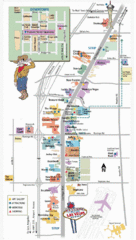
Vegas Strip and Downtown Map
Tourist map of Vegas strip and downtown
494 miles away

Snowmobiling Map, Elko County, Nevada
Map of snowmobiling opportunities in Elko County, Nevada. Snowmobiling areas, roads, and towns are...
495 miles away

Franklin Mountains, Texas State Park Facility and...
496 miles away
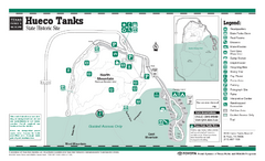
Hueco Tanks, Texas State Park Facility and Trail...
497 miles away
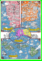
A MAD Pictorial Map of the United States - Back...
I found these raw assembled scans in a dieing torrent in 2010. Hash code...
498 miles away
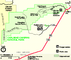
Carlsbad Caverns National Park Official Map
Official NPS map of Carlsbad Caverns National Park in New Mexico. Map shows all areas. Carlsbad...
498 miles away
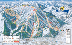
Sun Valley Ski Trail Map 2008
Ski trail map of Sun Valley ski area
499 miles away
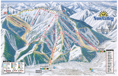
Sun Valley Ski Area Trail Map
Official ski trail map of Bald Mountain, the main mountain of Sun Valley ski area in Sun Valley...
499 miles away
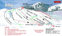
Sun Valley—Bald Mountain Ski Trail Map
Trail map from Sun Valley—Bald Mountain, which provides downhill, nordic, and terrain park skiing...
499 miles away

Map of North and South Dakota 1906
499 miles away

Sourth Dakota Wind Resource Map
499 miles away

South Dakota Counties Map
499 miles away
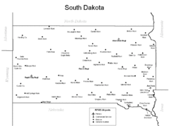
South Dakota Airports Map
499 miles away
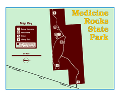
Medicine Rocks State Park Map
As the name implies, Medicine Rocks was a place of "big medicine" where Indian hunting...
499 miles away
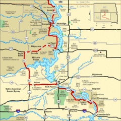
Native American Scenic Byway, South Dakota...
501 miles away
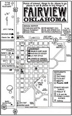
Fairview City Map
City map of Fairview with restaurants, government offices, medical services and hotels
504 miles away

South Dakota Map
505 miles away
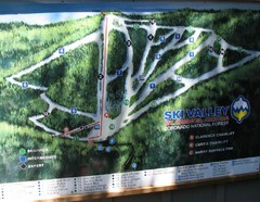
Mt. Lemmon Ski Valley Ski Trail Map
Trail map from Mt. Lemmon Ski Valley, which provides downhill skiing. It has 3 lifts servicing 21...
505 miles away
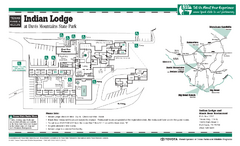
Indian Lodge, Texas State Park Location and Room...
506 miles away
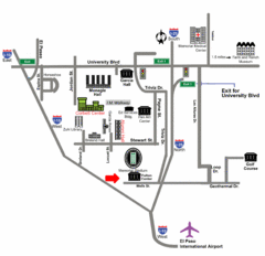
Area Map of El Paso
Area Map of El Paso. Illustrates all buildings, streets and Visitor Parking in the city.
506 miles away

El Paso, Texas City Map
506 miles away
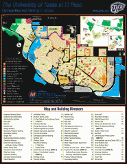
The University of Texas at El Paso Map
The University of Texas at El Paso. All buildings shown.
506 miles away
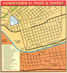
Downtown El Paso Map
Downtown tourist street map of El Paso and nearby Juarez
506 miles away
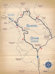
Red Rock Canyon Trail Map
Hiking trail map
507 miles away
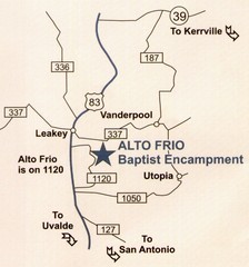
Alto Frio, Texas Tourist Map
507 miles away
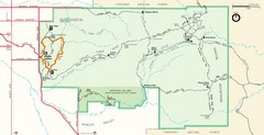
Saguaro Park Map
Navigable Driving Map for Saguaro Park. Includes all roads, trails, camping areas, and...
507 miles away

Bridger Bowl Ski Area Ski Trail Map
Trail map from Bridger Bowl Ski Area.
508 miles away

18th Century United States Map
508 miles away
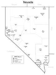
Nevada Airports Map
508 miles away
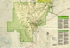
Guadalupe Mountains National Park Map
Map of Guadalupe Mountains National Park, year unknown. Scanned.
508 miles away
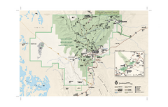
Guadalupe Mountains National Park Official Park...
Official NPS map of Guadalupe Mountains National Park in Texas. Guadalupe Mountains National Park...
510 miles away
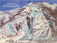
Soldier Mountain Ski Trail Map
Trail map from Soldier Mountain, which provides downhill and terrain park skiing. It has 3 lifts...
510 miles away

