Government Canyon, Texas State Park Facility and...
394 miles away
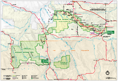
Official Badlands National Park Map
Official NPS map of Badlands National Park in South Dakota. The map shows all area's including...
394 miles away
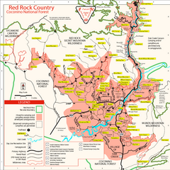
Red Rock County Trail Map
Trail map of trails of Red Rock County, AZ around Sedona, AZ. Shows trailheads and trail names.
394 miles away
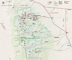
Great Basin National Park Map
Official NPS park map of Great Basin National Park. Shows all roads, trails, and facilities...
394 miles away
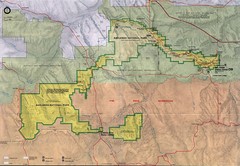
Badlands National Park Map
394 miles away
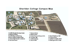
Sheridan College Campus Map
Sheridan College Campus Map. Shows all buildings.
394 miles away
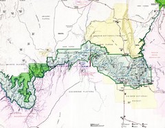
Grand Canyon Map
Guide to the Grand Canyon National Park
395 miles away
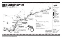
Caprock Canyon, Texas State Park Trail Map
397 miles away
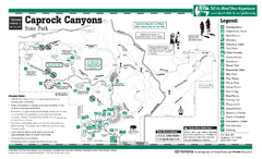
Caprock Canyon, Texas State Park Facility and...
397 miles away
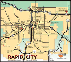
Rapid City, South Dakota City Map
397 miles away
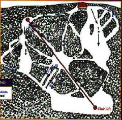
Mystic Miner Ski Resort at Deer Mountain West...
Trail map from Mystic Miner Ski Resort at Deer Mountain.
397 miles away
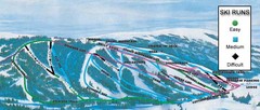
Kelly Canyon Ski Area Ski Trail Map
Trail map from Kelly Canyon Ski Area, which provides downhill, night, and terrain park skiing. It...
398 miles away
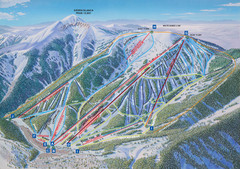
Ski Apache Ski Trail Map
Trail map from Ski Apache.
398 miles away
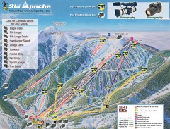
Ski Apache Ski Trail Map
Official ski trail map of Ski Apache ski area in New Mexico. Go to the site to view photos and...
398 miles away
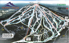
Terry Peak Ski Area Ski Trail Map
Trail map from Terry Peak Ski Area.
399 miles away
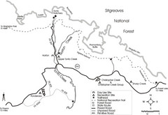
Tonto Creek in Tonto National Forest Map
Printable map for Tonto Creek area of Tonto National Forest with creek and amenenties shown on map.
399 miles away
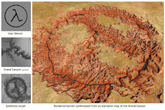
Rendered Terrain of the Grand Canyon Map
Created from Digital Elevation Models
399 miles away
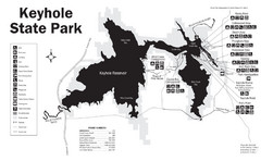
Keyhole State Park Map
Keyhole State Park is located on the western edge of the famed Black Hills, between Sundance and...
401 miles away
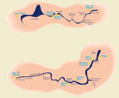
Grand Canyon River Rafting Map
Guide to the Colorado River, Grand Canyon river rafting
402 miles away
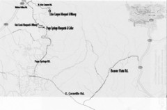
Central Arizona Wineries Map
403 miles away
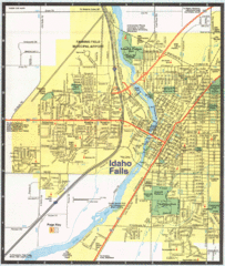
Idaho Falls, Idaho City Map
403 miles away
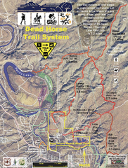
Dead Horse Trail System Map
Trail map of area surrounding Dead Horse State Park in Clarkdale, Arizona
407 miles away
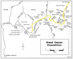
Grand Canyon River Expedition Map
Guide to the Colorado River, rapids and washes
407 miles away
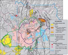
Yellowstone Geologic Map
Guide to geology, volcanic and earthquake activity and caldera outlines in Yellowstone National Park
407 miles away
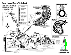
Dead Horse Ranch State Park Map
Map of park with detail of trails and recreation zones
408 miles away
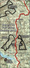
Desert to Tall Pines Scenic Byway Map
A much better map of the Desert to Tall Pines Scenic Byway. Unfortunately does not give hiking...
408 miles away
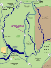
From the Desert to the Tall Pines Scenic Byway Map
Desert to Tall Pines Scenic Byway. This is the Scenic Byways official name. This is not a very...
408 miles away
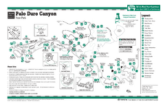
Palo Duro, Texas State Park Facility and Trail Map
409 miles away
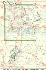
1929 Yellowstone and Grand Teton National Parks...
Map of older smaller boundaries of both national parks
409 miles away
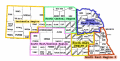
Nebraska Regions Map
409 miles away
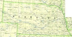
Nebraska Counties and Rivers Map
409 miles away
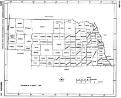
Nebraska Counties Map
409 miles away
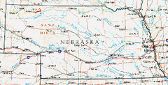
Nebraska Atlas Reference Map
409 miles away
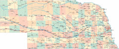
Nebraska Road Map
409 miles away
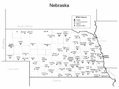
Nebraska Airports Map
409 miles away
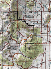
City of Rocks Topo Map
This topo map does not do justice to City of Rocks which is a wonderful reserve that is managed by...
410 miles away
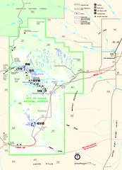
City of Rocks Park Map
This is the official Map for the reserve
410 miles away
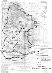
Sites of Cultural Importance, City of Rocks Area...
410 miles away
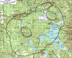
Yellowstone Lake Topographic Map
Topographic guide to Yellowstone Lake in Yellowstone National Park
411 miles away

