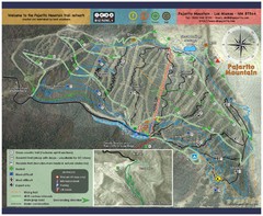
Pajarito Mountain Summer Bike Hike Trail Map
Pajarito Ski Area offers summer bike and hike lift service weekends. When lifts are not running...
259 miles away
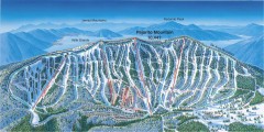
Pajarito Ski Trail Map
Official ski trail map of Pajarito ski area from the 2007-2008 season.
259 miles away
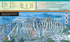
Pajarito Mountain Ski Trail Map
Trail map from Pajarito Mountain.
259 miles away
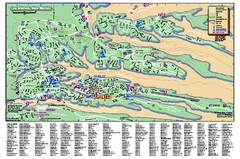
Los Alamos Street map
Los Alamos, New Mexico street and point of interest map. Mesas are colored green.
259 miles away
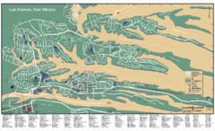
Los Alamos, New Mexico City Map
259 miles away
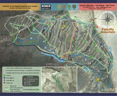
Pojarito Mountain bike Trail Map
Bike trail for Pojarito Mountain, New Mexico
259 miles away
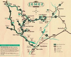
Jemez Mountains, New Mexico Tourist Map
260 miles away
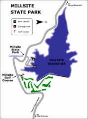
Millsite State Park Map
Camp in the quiet campground, and boat and fish on the blue waters of Millsite Reservoir. Play 18...
260 miles away
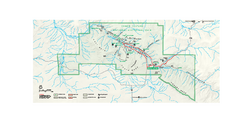
Chaco Culture National Historical Park Official...
Official NPS map of Chaco Culture National Historical Park in New Mexico. The park is open...
262 miles away
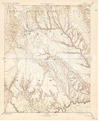
Topo Map of Escalante Quadrant, UT circa 1886
One of four USGS maps detailing the area around Capitol Reef National Park and Glen Canyon circa...
262 miles away

Timber Lakes Plat 1 Map
Timber Lakes Plat 1 Amended
264 miles away

Timber Lakes Plat 4 Map
264 miles away

Shaded Relief Timber Lakes Estates Map
264 miles away

Timber Lakes Plat 5 Map
264 miles away

Timber Lakes Plat 6 Map
264 miles away

Timber Lakes Plat 7 Map
264 miles away
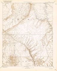
Topo Map of San Rafael Quadrant circa 1885
This is one of four USGS maps from the 1880's and 90's depicting the area around the...
265 miles away
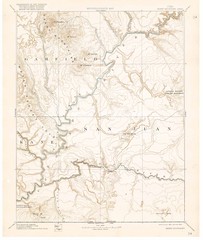
Henry Mtns Topo Map, circa 1892
One of a set of four maps circa 1890s by USGS depicting the area around the Henry Mtns and Capitol...
265 miles away

Timber Lakes Plat 11 Map
265 miles away

Timber Lakes Plat 9 Map
265 miles away
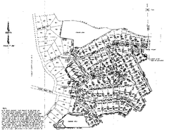
Timber Lakes Plat 8 Map
265 miles away

Timber Lakes Plat 8 Map
265 miles away
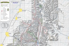
Utah Arapeen OHV Trail System- North Map
The Utah Arapeen OHV Trail System located in near the Towns of Fairview, Ephraim, and Mant, Utah.
265 miles away

Timber Lakes Plat 3 Map
265 miles away

Timber Lakes Plat 2 Map
266 miles away
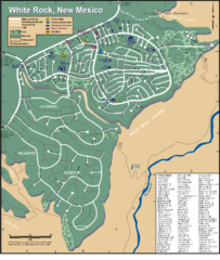
White Rock Road Map
Large and detailed map marking points of interest and roads.
266 miles away

Timber Lakes Plat 13 Map
266 miles away
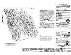
Timber Lakes Plat 12 Map
266 miles away

Timber Lakes Plat 14 Map
267 miles away
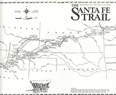
Santa Fe Trail Map
Historic map of the Santa Fe caravan trail
268 miles away
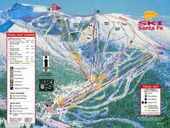
Ski Santa Fe Ski Trail Map
Official ski trail map of Ski Santa Fe ski area from the 2006-2007 season.
268 miles away
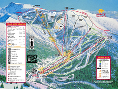
Ski Santa Fe Resort Ski Trail Map
Trail map from Ski Santa Fe Resort.
268 miles away

Boysen State Park Map
270 miles away
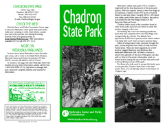
Chadron State Park Map
The majestic beauty of the Pine Ridge forms the backdrop for this great, get away from it all state...
271 miles away
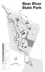
Bear River State Park Map
273 miles away

Heber City General Plan map
273 miles away

Heber City Zoning Map
273 miles away

Heber City Street Map
273 miles away
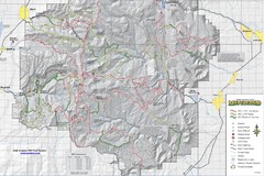
Utha Arapeen OHV Trail System- South Map
Utah Arapeen OHV Trail System map. Located near the towns of Fairview, Ephraim, and Manti, Utah.
274 miles away
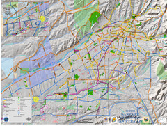
Santa Fe Bike and Trail Map
Trail and bikeway map of Santa Fe, New Mexico
274 miles away

