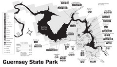
Guernsey State Park Map
The park has long been known as a haven for boating, camping, hiking and picnicking, but its real...
202 miles away
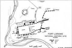
Fort Laramie Guide Map
A layout of the National Historic site Fort Laramie in Wyoming.
203 miles away

Continental Divide Map
210 miles away
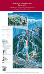
Red River Ski Area Ski Trail Map
Trail map from Red River Ski Area.
210 miles away
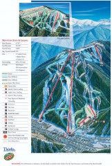
Red River Ski Trail Map
Official ski trail map of Red River ski area
210 miles away
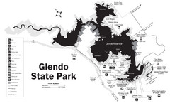
Glendo State Park Map
Glendo State Park is best known for its excellent boating opportunities, with plenty of areas for...
210 miles away
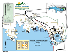
John Martin State Park Map
Map of park with detail of recreation zones
211 miles away
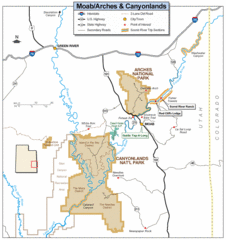
Canyonlands National Park Map
Clear map and key marking cities, rivers, highways and points of interest.
211 miles away
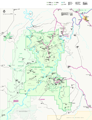
Canyonlands National Park Official Park Map
Official NPS map of Canyonlands National Park. Located in Utah. Map shows all areas but does not...
213 miles away
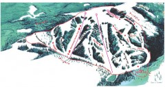
Hogadon Ski Area Trail Map
Ski trail map of Hogadon ski area, located on Casper Mountain
215 miles away

Sangre de Cristo Mountain Trail Map
Ski trail map of one of the Sangre de Cristo mountains
216 miles away
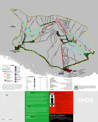
Taos Ski Valley Ski Trail Map
Trail map from Taos Ski Valley.
217 miles away
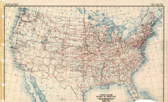
Highway Plan 1926 Map
217 miles away
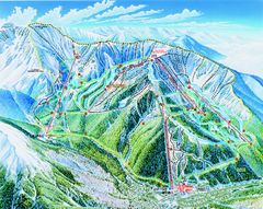
Taos Ski Valley Trail map
Official ski map of Taos Ski Valley. 12 lifts servicing 1,294 acres.
217 miles away
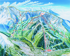
Taos Ski Area Ski Trail map 2006-07
Ski trail map of Taos ski area for the 2006-2007 season. A James Niehues creation.
217 miles away
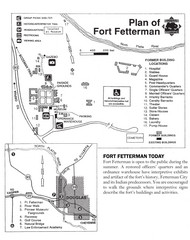
Fort Fetterman State Historic Site Map
Fort Fetterman, located approximately 11 miles northwest of Douglas. The fort was established as a...
220 miles away
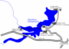
Starvation State Park Map
The sprawling waters of Starvation Reservoir offer great fishing and boating. Find a secluded...
220 miles away
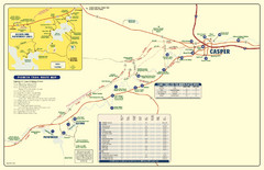
Casper, Wyoming City Map
221 miles away
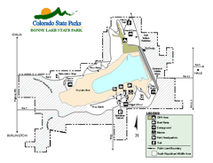
Bonny Lake State Park Map
Map of park with detail of recreation areas
223 miles away
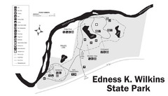
Edness Kimball Wilkins State Park Map
Edness K. Wilkins State Park is a serene day-use park located 6 miles east of Casper off Interstate...
223 miles away
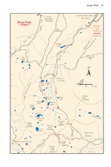
Kings Peak Trail Map
Trail map of route to Kings Peak, highest mountain in Utah at 13,528 ft. Route is around 30 miles...
227 miles away
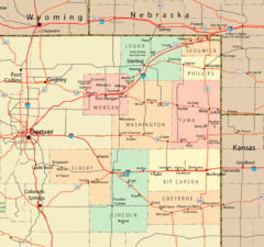
Northeast Colorado Map
231 miles away
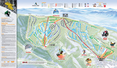
Angel Fire Resort Ski Trail Map
Trail map from Angel Fire Resort.
233 miles away
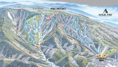
Angel Fire Ski Trail Map
Official ski trail map of Angel Fire ski area from the 2007-2008 season.
234 miles away
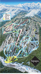
Sipapu Ski Area Ski Trail Map
Trail map from Sipapu Ski Area.
241 miles away
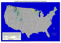
Vegetation types and elevation zones associated...
Historic Lynx Distribution Map for Lynx population from 1842 - 1998 shown on a United States map...
241 miles away
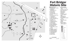
Fort Bridger State Historic Site Map
Established by Jim Bridger and Louis Vasquez in 1843 as an emigrant supply stop along the Oregon...
243 miles away
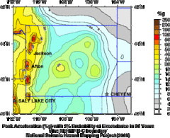
Seismic Hazard Map of Wyoming
Seismic Hazard map of probable earthquake activity for Wyoming.
243 miles away
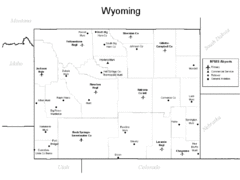
Wyoming Airports Map
243 miles away
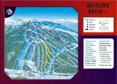
Antelope Butte Ski Area Ski Trail Map
Trail map from Antelope Butte Ski Area.
243 miles away
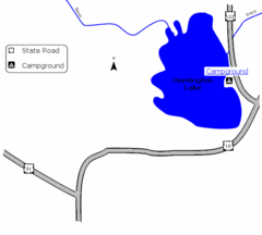
Huntington Lake State Park Map
Take a hike around this beautiful lake.
245 miles away
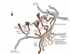
Goblin Valley State Park Map
The vast landscape of sandstone goblins may have visitors wondering if they're in Mars or Utah...
245 miles away
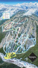
Sipapu Ski Trail Map
Official ski trail map of Sipapu ski area from the 2007-2008 season.
245 miles away
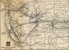
1925 Union Pacific Railroad Map Part 1
Guide to the Union Pacific railroad lines across the western half of the United States
249 miles away

Mirror Lake Highway Map
249 miles away
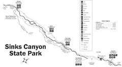
Sinks Canyon State Park Map
Sinks Canyon State Park offers hiking trails, abundant wildlife viewing, bird-watching, fishing...
250 miles away
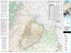
San Rafael, Utah Trail Map
Trails and main roads near Manti-LaSal National Forest and Castle Dale in Emery County, Utah
251 miles away
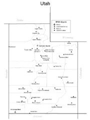
Utah Airports Map
253 miles away
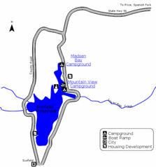
Scofield State Park Map
Camp, boat, and fish at this summer and winter recreation destination situated high in the Manti...
256 miles away

