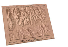
Blue Mesa Reservoir by Carvedmaps.com Map
Blue Mesa Reservoir carved by carvedmaps.com - Tom Justin artist
96 miles away

University of Colorado at Colorado Springs Map
99 miles away
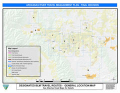
Arkansas River Planning and Zoning Map
General locations along the Arkansas River
99 miles away
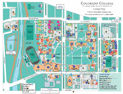
Colorado College Map
99 miles away

Colorado Springs, Colorado City Map
100 miles away
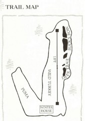
Ski Broadmoor Ski Trail Map
Trail map from Ski Broadmoor. This ski area opened in 1960’s.
101 miles away
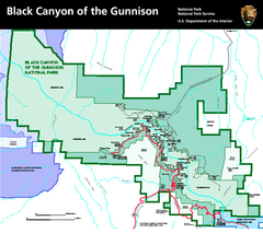
Black Canyon of the Gunnison National Park Map
Official NPS map of Black Canyon of the Gunnison in Colorado. Shows all areas including the South...
102 miles away
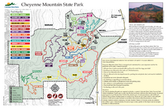
Cheyenne Mountain State Park trail map
Trail map for Cheyenne Mountain State Park in Colorado.
103 miles away
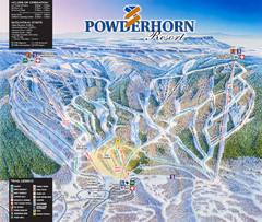
Powderhorn Resort Ski Trail Map
Trail map from Powderhorn Resort, which provides downhill and terrain park skiing. It has 4 lifts...
103 miles away
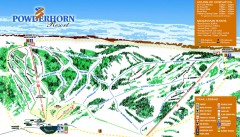
Powderhorn Ski Trail Map
Official ski trail map of Powderhorn Resort ski area from the 2007-2008 season.
103 miles away
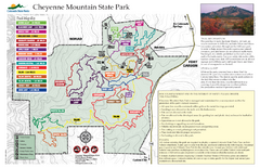
Cheyenne Mountain State Park Map
Trail map of park
103 miles away
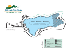
Sweitzer Lake State Park Map
Map of park with detail of recreation zones
110 miles away
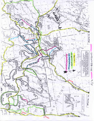
Uncompahgre National Forest Map
National Forest in Western Colorado
116 miles away
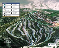
Snowy Range Ski Trail Map
Trail map from Snowy Range.
118 miles away
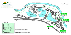
Island Acres State Park Map
Map of island acres section of the James M Robb Colorado River State Park
119 miles away
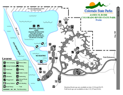
Fruita Area State Park Map
Map of fruita section of the James M Robb Colorado River State Park
121 miles away
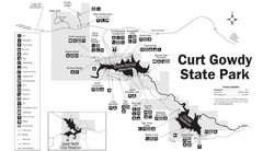
Curt Gowdy State Park Map
Curt Gowdy is a recreation area with three reservoirs. It's great for fishing, camping, water...
122 miles away
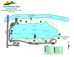
Corn Lake State Park Map
Map of corn lake section of the James M Robb Colorado River State Park
122 miles away
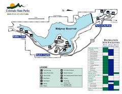
Ridgway State Park Map
Map of park with detail of recreation zones
123 miles away
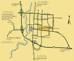
Laramie City Map
City map of Laramie, Wyoming with University of Wyoming highlighted.
123 miles away
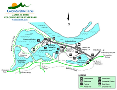
Connected Lakes State Park Map
Map of connected lakes section of the James M Robb Colorado River State Park
124 miles away
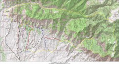
Fruita 18 Road Trail Map
Mountain biking trail map of the 18 Road area in Fruita, CO including Chutes & Ladders, Zipity...
125 miles away
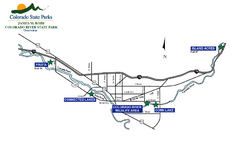
James M Robb Colorado River State Park Map
Overview map of park along lake
125 miles away
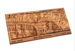
Lake City, CO carved by carvedmaps.com Map
Lake City, CO map carved by carvedmaps.com
126 miles away
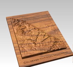
Colorado National Monument carved by CarvedMaps...
Colorado National Monument near Grand Junction, CO. was carved by CarvedMaps.com They can carve...
129 miles away
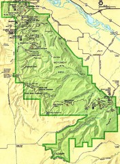
Colorado National Monument Map
129 miles away
Lake Pueblo State Park Map
Map of park with detail of recreation zones
130 miles away
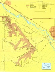
Colorado National Monument Map
Map of Colorado National Monument and surrounding areas.
130 miles away
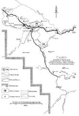
Capitol Reef Trail Map
Hiking trails near Fruita, Colorado
130 miles away
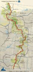
Continental Divide Trail Map
Guide to the full Continental Divide trail
131 miles away
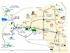
San Luis Valley Tourist Map
Tourist map of San Luis Valley, Colorado area. Shows attractions.
132 miles away
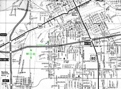
Cheyenne, Wyoming City Map
133 miles away
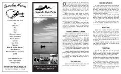
Jackson Lake State Park Map
Map of park with detail of recreation areas
133 miles away
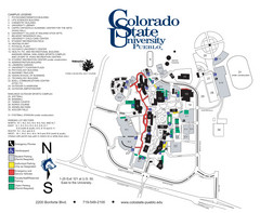
Colorado State University - Pueblo Campus Map
Campus map of Colorado State University-Pueblo
133 miles away
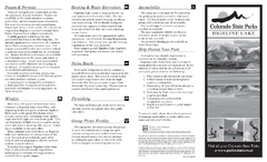
Highline Lake State Park Map
Map of park with detail of recreation areas
134 miles away
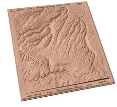
Uncompahgre Plateau by carvedmaps.com Map
Uncompahgre Plateau
135 miles away
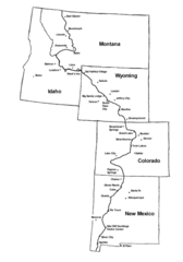
Continental Divide Trail Graphic Map
Guide to the Continental Divide Trail, with major cities and stopping points
136 miles away
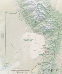
Great Sand Dunes National Park and Preserve map
Official NPS map of Great Sand Dunes National Park and Preserve. Park includes the tallest dune in...
137 miles away
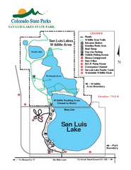
San Luis State Park Map
Map of park with detail of recreation zones
139 miles away
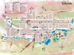
Telluride Town Map
141 miles away

