
Winter Park Trail Map
37 miles away

Winter Park Trail Map
Ski trail map
37 miles away
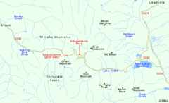
Independence Pass Area, Colorado Map
Basic map of the Independence Pass area near Aspen, Colorado. Independence Pass is the highest...
38 miles away
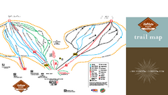
SolVista Basin at Granby Ranch Ski Trail Map
Trail map from SolVista Basin at Granby Ranch, which provides downhill and terrain park skiing. It...
38 miles away

Aspen, Colorado by Carvedmaps.com Map
Aspen, Colorado with surrounding ski area. Carved of wood by carvedmaps.com - Tom Justin artist
38 miles away

Mt. Evans Road Wildflower Viewing Map
Shows wildflower viewing area at Mt. Goliath and Mt. Evans along Mt. Evans Road in Colorado. "...
39 miles away
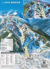
Aspen Mountain Ski Trail Map
Official ski trail map of Aspen ski area from the 2007-2008 season.
40 miles away
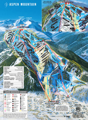
Aspen Mountain Ski Trail Map
Trail map from Aspen Mountain, which provides downhill skiing. It has 8 lifts servicing 76 runs...
40 miles away
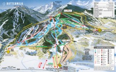
Buttermilk Ski Trail Map
Official ski trail map of Buttermilk ski area from the 2007-2008 season.
40 miles away
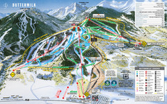
Buttermilk Mountain Ski Trail Map
Trail map from Buttermilk Mountain, which provides downhill and terrain park skiing. It has 7 lifts...
41 miles away
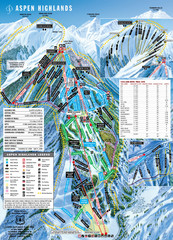
Aspen Highlands Ski Trail Map
Trail map from Aspen Highlands, which provides downhill skiing. It has 5 lifts servicing 125 runs...
42 miles away
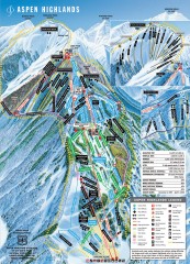
Aspen Highlands Ski Trail Map
Official ski trail map of Aspen Highlands ski area from the 2007-2008 season.
42 miles away

Mt. Evans Contour Map
Guide to the area around Mt. Evans, near Denver, CO
42 miles away
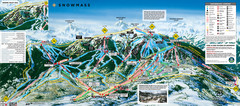
Snowmass Ski Trail Map
Trail map from Snowmass, which provides downhill and terrain park skiing. It has 24 lifts servicing...
44 miles away
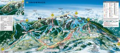
Snowmass Ski Trail Map
Official ski trail map of Snowmass ski area from the 2007-2008 season.
44 miles away
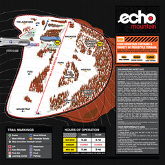
Echo Mountain Park Ski Trail Map
Trail map from Echo Mountain Park, which provides downhill, night, and terrain park skiing. It has...
46 miles away
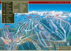
Eldora Mountain Ski trail Map
Official ski trail map of Eldora Mountain Resort ski area.
47 miles away

Glenwood Springs, CO carved by CarvedMaps.com Map
Glenwood Springs, Colorado carved by CarvedMaps.com Virtually anywhere within the US can be carved...
51 miles away
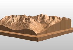
Map carved of the Maroon Bells
CarvedMaps.com can carve any area within the United States. This carving is of the Maroon Bells...
51 miles away
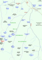
Maroon Bells Area Map
Basic Map of Watershed and Trails around Maroon Bells.
51 miles away
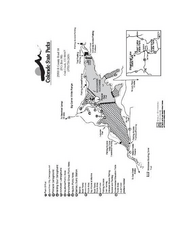
Stagecoach State Park Map
Map of park with detail of campgrounds and recreation zones
51 miles away
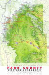
Park County Heritage Map
Shaded relief map of Park County, Colorado shows heritage landscapes, mountains, and
52 miles away
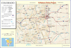
Colorado Cities Map
52 miles away
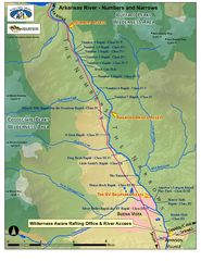
Arkansas River Numbers and Narrows Rafting Map
Rafting map of the Numbers and Narrows rapids sections of the Arkansas River near Buena Vista...
53 miles away
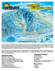
Sunlight Mountain Resort Ski Trail Map
Trail map from Sunlight Mountain Resort, which provides downhill, nordic, and terrain park skiing...
54 miles away
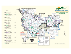
Golden Gate Canyon State Park Map
Map of park with detail of trails
54 miles away
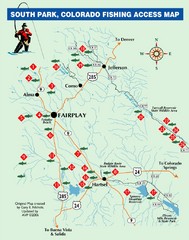
South Park,Colorado Fishing Map
56 miles away
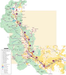
Central Colorado Fishing Guide Map
57 miles away
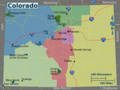
Colorado Region Map
59 miles away
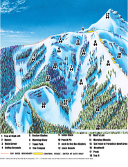
Crested Butte Mountain Resort Teocalli Bowl Ski...
Trail map from Crested Butte Mountain Resort, which provides downhill, nordic, and terrain park...
59 miles away
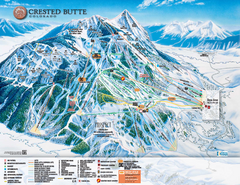
Crested Butte Mountain Resort Ski Trail Map
Trail map from Crested Butte Mountain Resort, which provides downhill, nordic, and terrain park...
59 miles away
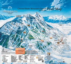
Crested Butte Mountain Resort Ski Trail Map
Official trail map of Crested Butte Mountain Resort, 2006-07 season.
59 miles away
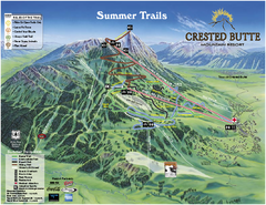
Crested Butte Mountain Resort Summer Trail Map
Official Crested Butte Mountain Resort summer trail map. Created by James Niehues.
60 miles away
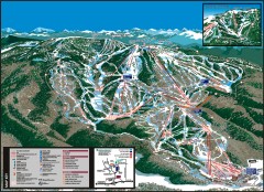
Steamboat Ski Area Ski trail map
Official ski trail map of Steamboat ski area in Steamboat Springs, CO from the 2006-2007 season...
60 miles away
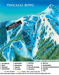
Crested Butte Mountain Resort Ski map - Teocalli...
Inset of the official Crested Butte trail map showing the experts-only Teocalli Bowl.
60 miles away
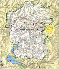
Rocky Mountain National Park Map
Rocky Mountain National Park Map and surrounding National Forests of Arapaho and Roosevelt.
60 miles away
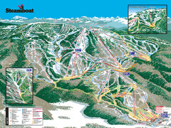
Steamboat Ski Resort Ski Trail Map
Trail map from Steamboat Ski Resort, which provides downhill and terrain park skiing. It has 18...
60 miles away
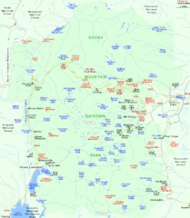
Rocky Mountain National Park Tourist Map
61 miles away
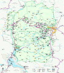
Rocky Mountain National Park Official Map
Rocky Mountain National Park Official Map. Shows all roads, trails, rivers, and mountain summits.
61 miles away
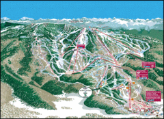
Steamboat Springs Trail Map
Guide to trails in Steamboat Springs Ski Resort, Colorado
62 miles away

