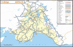
Antalya Region Highways Map
292 miles away
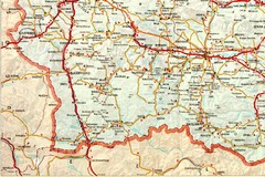
Blagoevgrad Area Map
Guide to area around Blagoevgrad, Bulgaria
293 miles away
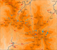
Pirin Mountains Chalet Map
Map of Pirin Mountains in Pirin National Park, near Bansko, Bulgaria. Shows peaks and mountain...
293 miles away
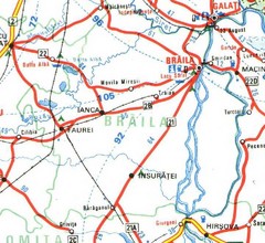
Braila Map
293 miles away
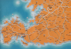
Bodrum Peninsula Map Turkey
Bodrum Peninsula and the Western part of Turkey. Showing towns and villages, plus some ancient...
294 miles away
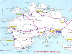
Bodrum Peninsula Map
Map showing major tourist cities and roads of the Bodrum pennisula in Turkey.
294 miles away
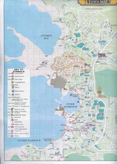
Bodrum Town Map
294 miles away
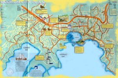
Bodrum Tourist Map
Tourist map of city of Bodrum, Turkey. Shows points of interest. Scanned.
294 miles away
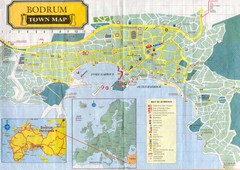
Bodrum Town Map
Town map of Bodrum, Turkey. Scanned.
294 miles away
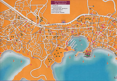
Bodrum & Gumbet Street Map
Street Map of Bodrum showing the location of the 5 major historical sites; the main thoroughfare...
294 miles away
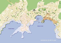
Bodrum City Map
City map of Bodrum, Turkey
295 miles away
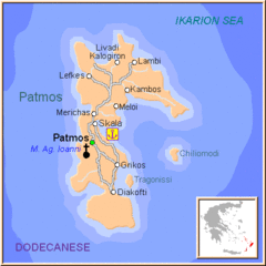
Patmos Map
295 miles away
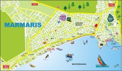
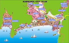
Marmaris City Map
Pictorial city map of Marmaris with attractions
297 miles away
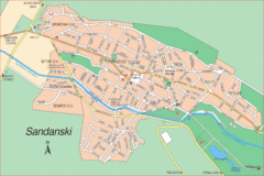
Sandanski Map
300 miles away
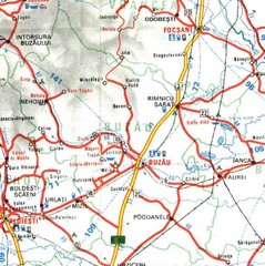
Buzau Map
301 miles away
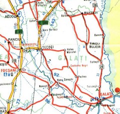
Galati Map
304 miles away
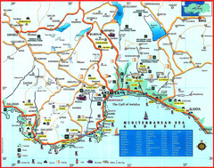
Antalya Turkey Tourist Map
Tourist Map of the Southern Coast of Turkey showing with pictures tourist attractions and...
305 miles away

Antalya Turkey Tourist Map
Tourist Map of Antalya, Turkey showing tourist sites, hotels and restaurants.
305 miles away
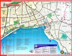
Antalya Tourist Map
Shows points of interest in Antalya area
305 miles away
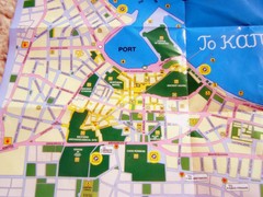
Kos Tourist Map
306 miles away
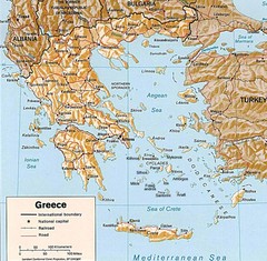
Greece Map
Map of Greece and surrounding countries showing cities, roads, railroads and borders.
307 miles away
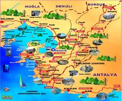
Fethiye guide of tourist map
308 miles away
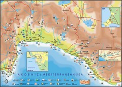
Antalya Region Tourist Map
Tourist map of region around Antalya, Turkey. Shows points of interests using symbols.
309 miles away
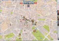
Sofia, Bulgaria Tourist Map
Attractions, roads and neighborhoods in Sofia
312 miles away
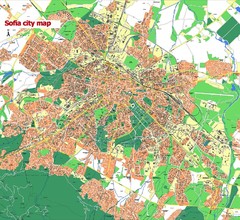
Sofia City street map
Map of Sofia city, Bulgaria. Bulgaria is country in Europe, member of the EU since 2007.
312 miles away
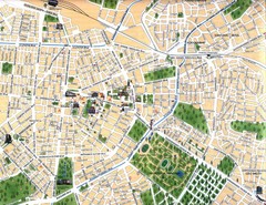
Sofia City Map
City map of central Sofia, Bulgaria. Shows main historical buildings and parks.
313 miles away
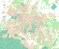
Sofia City Street Map
City street map of Sofia, Bulgaria area
313 miles away
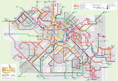
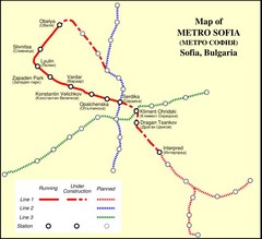
Public transport in Sofia Map
313 miles away
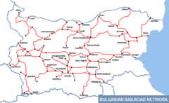
Bulgarian Railways Map
313 miles away
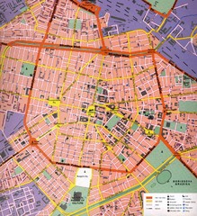
Sofia Center Map
Street map of the center of Sofia, Bulgaria. Shows points of interest and services.
313 miles away
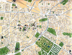
Sofia Center Map
313 miles away
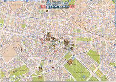
Central Sofia Tourist Map
Tourist map of central Sofia, Bulgaria. Shows landmark buildings. Scanned.
313 miles away
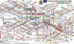
Sofia Public Transit Map (Bulgarian)
313 miles away
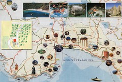
Anatalya and Manavgat District Tourist Map
Tourist map of Anatalya and Manavgat district including city of Anatalya, Turkey. Shows photos of...
314 miles away
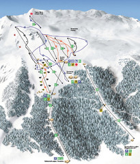
Vitosha Ski map
314 miles away
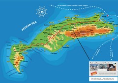
Kos Island Tourist Map
Tourist map of Kos Island
315 miles away
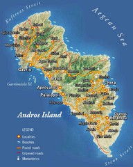
Andros Island Tourist Map
Tourist Map of Andros, Greece showing roads, towns, beaches.
316 miles away
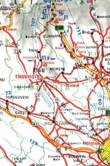
Dimbovita Map
316 miles away

