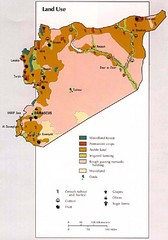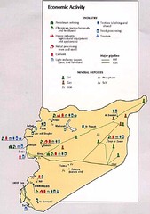
Syria Economic Activity Map
Map of Syria's economic activity
696 miles away
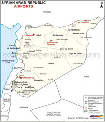
Syria Tourist Map
696 miles away
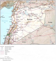
Syria Country Map
696 miles away
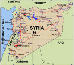
Syria Guide Map
696 miles away
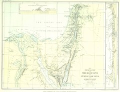
Israel and Sinai Map
The Holy Land -- Peninsula of Sinai -- Lower Egypt
697 miles away
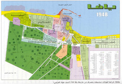
Detailed Map Of Jaffa Before Nakba
Map of Jaffa district and neighboring villages. Note: Map is not in English
699 miles away

Tel Aviv day map summer 2009
this is a great day map that show the real life in tel aviv , also theres a small map of "park...
700 miles away

Hot night map tel aviv - israel 2009
a great night map of tel aviv , all the best bars and clus on that map , amzingggggg city
700 miles away
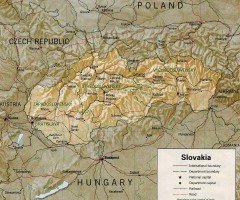
Slovakia country map
Map of Slovakia with surrounding countries. Shows boundaries, major cities, and shaded with...
701 miles away
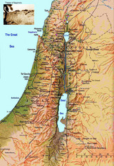
Israel Map
Israel map highlighting location of Theater of Sepphoris
701 miles away
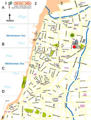
Tel Aviv City Map
City map with detail of main roads
702 miles away
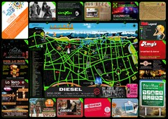
Tel Aviv Hot Map
702 miles away
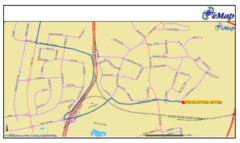
Tel Aviv Railway Map
The rail system in Tel Aviv, Israel
702 miles away
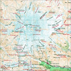
Mt. Elbrus Geographical Map
704 miles away
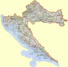
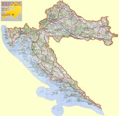
Croatia Tourist Map
705 miles away
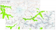
Mount Elbrus Caucasus Region Topo Map
Topographical map of Mount Elbrus and the surround Caucasus Mountains. Mount Elbrus is the highest...
705 miles away
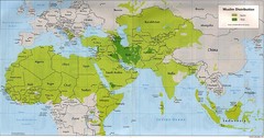
Muslim Distribution Map
Map of Muslim distribution throughout Africa and Asia
706 miles away
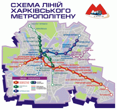
Official Kharkiv Metro Map (Ukrainian)
Official metro map of Kharkiv. In Ukrainian.
707 miles away
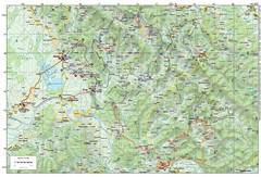
Bike Route starting in Ivanić-Grad Map
Bike route and trails through the cradle of Croatia’s oil drilling industry and the wondrous...
709 miles away
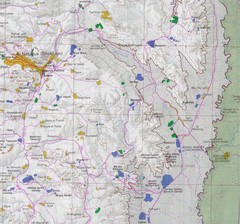
Eastern West Bank Map
Map of Nabulus and Eastern region of West Bank
710 miles away
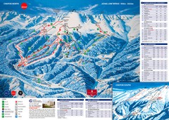
Jasná Ski Trail Map
Trail map from Jasná.
712 miles away
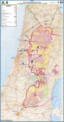
Israel Security Fence Route Map
Revised route of the Israel Security Fence around the West Bank as of Feb 2005
714 miles away
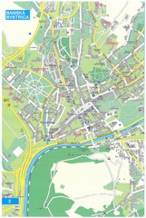
Banska Bystrica Tourist Map
Tourist map of central Banska Bystrica, Slovakia. Shows points of interest. Scanned.
715 miles away
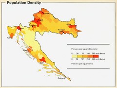
Croatia Population Density Map
Map of Croatia's population density
715 miles away
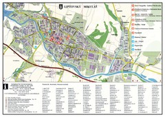
Liptovsky Mikulas Tourist Map
Tourist map of Liptovsky Mikulas, Slovakia
717 miles away
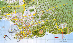
Biograd na Moru Map
718 miles away
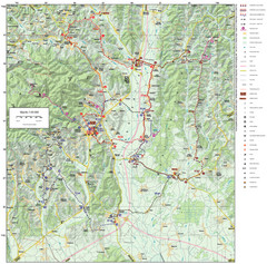
Zagreb County Cycling Route Map
Shows a cycling route in Zagreb County, Croatia. From the Roman “Magna Vie” near Komin...
720 miles away
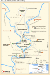
19th Century Bitlis Map
Historical map of Bitlis at the conclusion of the 19th century
720 miles away
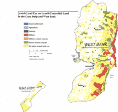
Gaza Strip and West Bank Jewish Land Use Map
721 miles away
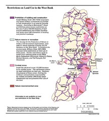
West Bank Land Restrictions Map
Map of land restrictions in West Bank as of 1993
721 miles away
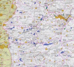
Western West Bank Map
721 miles away
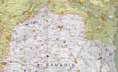
Northern West Bank Map
721 miles away
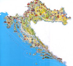
Croatia Tourist Map
Attractions and locations in Croatia
721 miles away
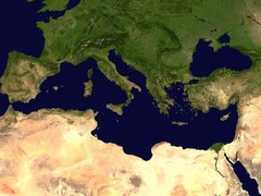
Mediterranean satellite Map
722 miles away
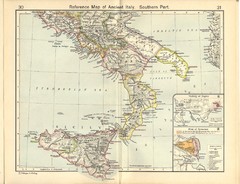
Ancient Italy, Southern Part Map
Reference Map of ancient Italy, southern part. Shows insets of Naples and Syracuse.
722 miles away

