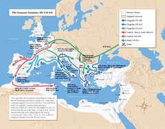
Germanic Invasions Map 378-439
Shows the breakdown of the Roman frontier in the late 4th and early 5th centuries.
552 miles away
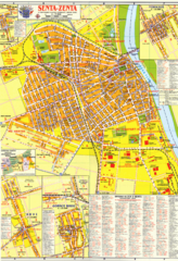
Zenta Map
559 miles away
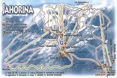
Jahorina Ski Trail Map
Trail map from Jahorina.
563 miles away

Central Balkan Map
Countries in Central Europe
564 miles away
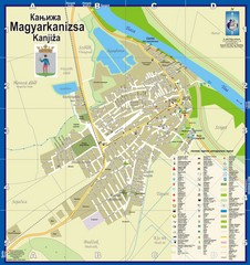
Kanizsa City Map
City map of Kanjiza, Serbia. Shows businesses.
565 miles away

Danube River Basin by Maps Illustrated Map
Map from Diplomat magazine from an article on the economic region based on the Danube Basin
566 miles away
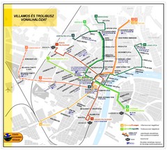
Szeged Public Transportation Map (Hungarian)
568 miles away
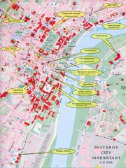
Szeged Tourist Map
Tourist map of central Szeged, Hungary. Shows points of interest.
568 miles away
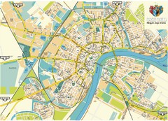
Szeged Map
Map of central Szeged, Hungary
569 miles away
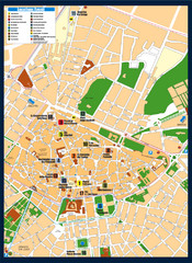
Lecce Tourist Map
Tourist map of historic center of Lecce, Italy. Shows points of interest.
571 miles away

Bács-Bodrog vármegye Map
571 miles away
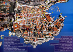
Old Town Dubrovnik Tourist Map
Tourist map of old town Dubrovnik, Croatia. Shows churches, forts, squares, and other points of...
572 miles away
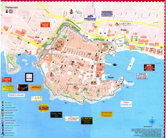
Dubrovnik Map
572 miles away
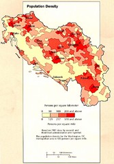
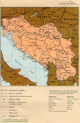
Yugoslavian Population Map
This map clearly marks Yugoslavia's distribution of its population.
572 miles away
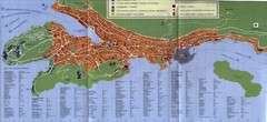
Dubrovnik City Map
City map of Dubrovnik, Croatia. Street index and shows services. Scanned.
572 miles away

Bácstopolya Map
572 miles away
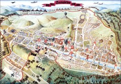
Sarajevo Survival Map 1992-1996
From creator famainternational.com: " Sarajevo Survival Map 92-96 is the ultimate visual...
573 miles away
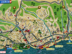
Sochi Tourist Map
Tourist map of Sochi, Russia. Host city of the 2014 Olympic Winter Games
573 miles away

Bács Map
575 miles away
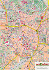
Debrecen Tourist Map
Tourist map of Debrecen Terkep, Hungary.
575 miles away
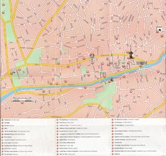
Sarajevo Downtown Map
Free tourist map of downtown Sarajevo from Sarajevo Navigator Brochure
576 miles away
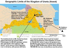
Urartu And Mount Ararat Map
Urartu Map showing Mt. Suleiman is not near Urartu.
578 miles away
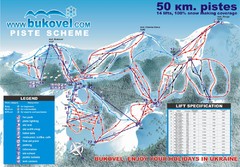
Bukovel Ski Resort Map
Map of Bukovel's slopes, lifts and resort
579 miles away
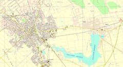
Szabadka és környéke Map
580 miles away

Bácskossuthfalva Map
581 miles away
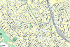
Szabadka belváros Map
582 miles away
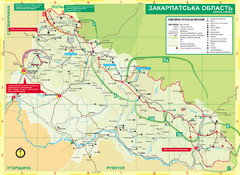
Transcarpathia Hiking Trail Map
Map of the Transcarpathia Hiking Trail (THT) in Ukraine. Trail runs through the territory of...
584 miles away

Bajmok Map
587 miles away
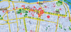
Dnepropetrovsk Downtown Map
Map of central Dnepropetrovsk, Ukraine's third largest city
588 miles away

Dnipropetrovs'k Metro Map (Russian)
Metro map of Dnipropetrovs'k. Schematic, not tied to geography. In Russian.
588 miles away
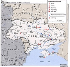
Ukraine Defense Facilities Map
Map of major defense industry facilities throughout Ukraine
592 miles away
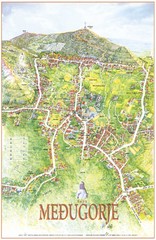
Medjugorje Tourist Map
Tourist map of town of Medjugorje, Bosnia & Herzegovina.
599 miles away
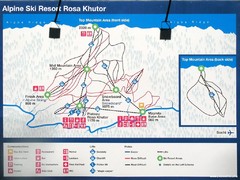
Rosa Khutor Ski Trail Map
Ski trail map of Rosa Khutor in Russia, site of all alpine skiing and snowboarding events in the...
600 miles away
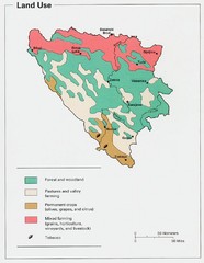
Bosnia and Herzegovina Land Use Map
Map of Bosnia's land use
602 miles away
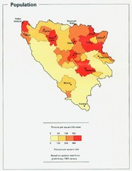
Bosnia and Herzegovina Population Density Map
Map of Bosnia and Herzegovina's population density
604 miles away
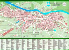
Osijek City Map
City map of Osijek, Croatia. With street index.
604 miles away

