
Ottawa, Ontario Tourist Map
964 miles away
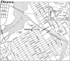
Ottawa, Ontario Tourist Map
964 miles away
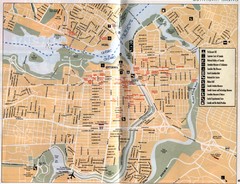
Ottawa Tourist Map
Tourist map of capital city of Ottawa, Canada. Shows tourist points of interest.
964 miles away
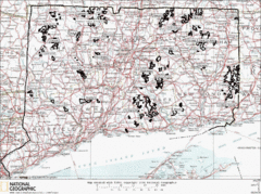
Connecticut State Forests Map
This is a map of all of the state forest boundaries in Connecticut. Follow the source web address...
964 miles away

Eastern Long Island Placemat map
Photo of a placemat map from Gosman's Dock Restaurant in Montauk, NY. Shows eastern Long...
964 miles away

Cockaponset State Forest South Section trail map
Trail map for the South Section of Cockaponset State Forest in Connecticut.
965 miles away
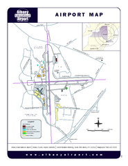
Albany International Airport Map
Official Map of the Albany International Airport in New York. Shows all terminals.
965 miles away
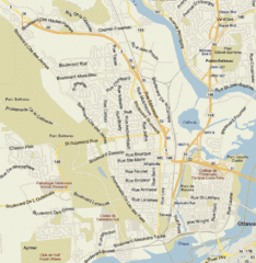
Hull, Quebec Tourist Map
965 miles away
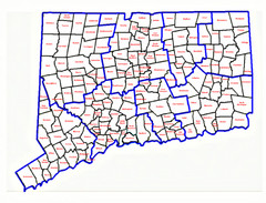
Connecticut Town Map
965 miles away
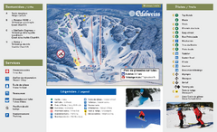
Edelweiss Valley Ski Trail Map
Trail map from Edelweiss Valley, which provides downhill skiing. This ski area has its own website.
965 miles away
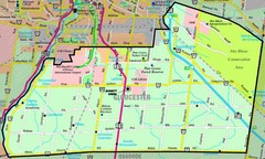
Gloucester Map
Street-map of Gloucester district
965 miles away
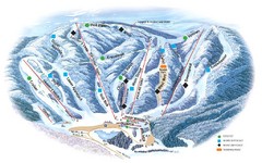
Butternut Ski Area Ski Trail Map
Trail map from Butternut Ski Area.
966 miles away
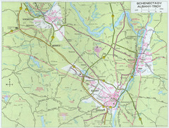
Albany, New York City Map
967 miles away
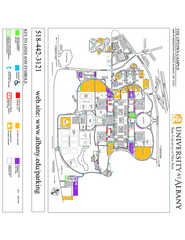
University at Albany Map
Campus Map of the University at Albany. All buildings shown.
967 miles away
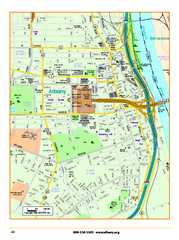
Albany downtown map
Road map of downtown Albany, NY. Shows city parks and New York State government buildings.
967 miles away
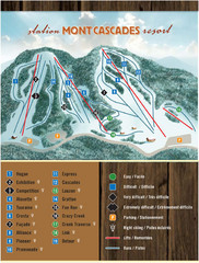
Mont Cascades Ski Trail Map
Trail map from Mont Cascades, which provides downhill skiing. This ski area has its own website.
967 miles away
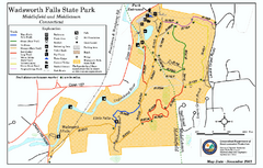
Wadsworth Falls State Park map
Trail map of Wadsworth Falls State Park in Connecticut.
967 miles away
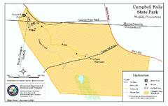
Cambell Falls State Park map
Trail map of Campbell Falls State Park Reserve in Connecticut
968 miles away
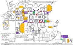
New York State University Uptown Campus Map
Map of the NYS University Campus, including all buildings, streets, and Visitors Parking...
968 miles away
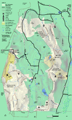
Mt. Washington State Forest trail map
Trail map of Mt. Washington State Forest
969 miles away
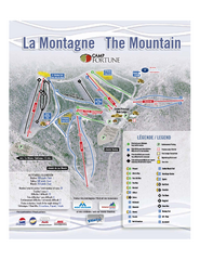
Camp Fortune Ski Trail Map
Trail map from Camp Fortune, which provides downhill skiing. This ski area has its own website.
969 miles away
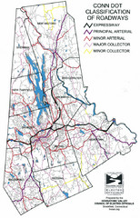
Connecticut Roadway Classification Map
969 miles away
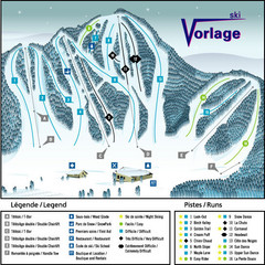
Ski Vorlage Ski Trail Map
Trail map from Ski Vorlage, which provides downhill skiing. This ski area has its own website.
969 miles away
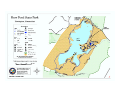
Burr Pond State Park map
Map of Burr Pond State Park in Connecticut.
970 miles away
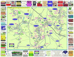
Columbia County - Austerlitz, Canaan, Chatham...
Tourist map of Columbia County including towns of Austerlitz, Canaan, Chatham, East Chatham Ghent...
970 miles away
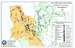
Chatfield Hollow State Park map
Trail map of Chatfield Hollow State Park
970 miles away
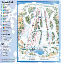
Powder Ridge Ski Area Ski Trail Map
Trail map from Powder Ridge Ski Area.
970 miles away
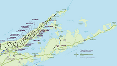
Long Island Wineries Map
Map of LIWC member wineries offering wine tastings to the public.
970 miles away
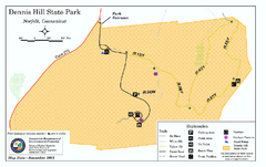
Dennis Hill State Park map
Trail map of Dennis Hill State Park in Connecticut.
970 miles away
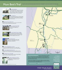
Mum Bett's Trail Map
Historic African American trail guide
971 miles away
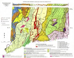
Connecticut Geologic Map
Geologic map of Connecticut bedrock. Shows shaded terranes, fault lines, and Mesozoic formations.
971 miles away
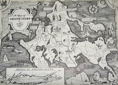
Shelter Island Map
Old Shelter Island map circa 1930s
972 miles away

Hammonasset Beach State Park map
Trail map for Hammonasset Beach State Park in Connecticut.
972 miles away

Hammonasset Beach State Park campground map
Campground map of Hammonasset State Park in Connecticut.
973 miles away
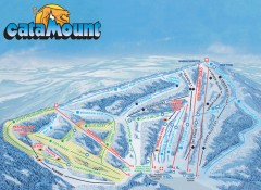
Catamount Ski Trail Map
Official ski trail map of Catamount ski area from the 2006-2007 season.
973 miles away
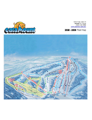
Catamount Ski Area Ski Trail Map
Trail map from Catamount Ski Area.
974 miles away

Ogdensburg, New York Historical Map
A wonderful highlight are the art reproductions of homes and buildings which surround the map...
974 miles away
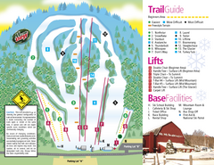
Mt. Southington Ski Area Ski Trail Map
Trail map from Mt. Southington Ski Area, which provides downhill, night, and terrain park skiing...
974 miles away
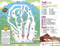
Mount Southington Ski Trail Map
Official ski trail map of Mount Southington ski area from the 2007-2008 season.
974 miles away


