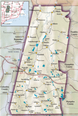
Berkshires Map
Overview map of the Berkshires region of Western Massachusetts
956 miles away
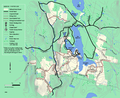
Tolland State Forest winter trail map
Winter usage trail map of the Tolland State Forest area in Massachusetts.
956 miles away
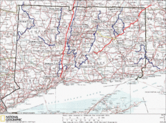
Connecticut Long Distance Trails Map
A map of long distance trails throughout Connecticut. Go to the website below for detailed trail...
956 miles away

Wadsworth Athenium Museum Location Map
Wadsworth Athenium visitor location map with locations of major buildings, streets, parks, and...
956 miles away
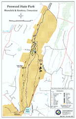
Penwood State Park map
Trail map of Penwood State Park in Connecticut.
957 miles away
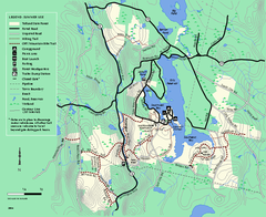
Tolland State Forest summer trail map
Summer use map for Tolland State Forest in Massachusetts.
957 miles away
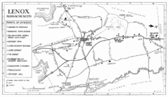
Lenox Town Map
Hand-drawn town map of Lenox, Mass. Bordered by Lenox Mountain and October Mountain. Shows points...
957 miles away
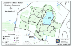
Great Pond State Park trail map
Trail map of Great Pond State Forest in Connecticut.
957 miles away
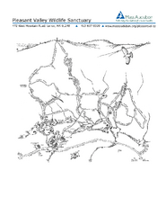
Pleasant Valley Wildlife Sanctuary Trail Map
Trail map of Pleasant Valley Wildlife Sanctuary
957 miles away
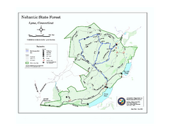
Nehantic State Forest map
Trail map of Nehantic State Forest in Connecticut.
958 miles away
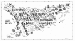
Lenox Village Map
Hand-drawn village map of historic center of Lenox, Massachusetts
958 miles away
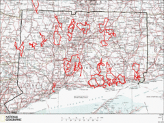
Connecticut Road Cycling Routes Map
A map of road cycling routes throughout Connecticut. Follow the link below for detailed route maps...
958 miles away
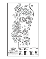
Rocky Neck State Park campground map
Campground map of Rocky Neck State Park in Connecticut.
958 miles away
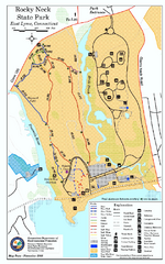
Rocky Neck State Park trail map
Trail map of Rocky Neck State Park in Connecticut.
958 miles away
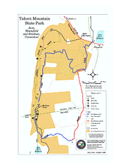
Talcott Mountain State Park map
Trail map of Talcott Mountain State Park in Connecticut.
959 miles away
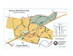
Stratton Brook State Park map
Trail map of Stratton Brook State Park in Connecticut.
959 miles away
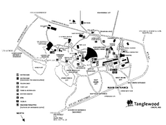
Tanglewood Map
Detailed map of the Tanglewood grounds that includes the location of the Box Office, Friends Office...
959 miles away
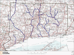
Connecticut Rivers and Coastal Paddling Map
This is a map of paddling areas for rivers and coastal kayaking. Follow the link below for...
959 miles away
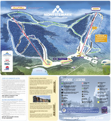
Mont Ste-Marie Ski Trail Map
Trail map from Mont Ste-Marie, which provides downhill skiing. This ski area has its own website.
959 miles away
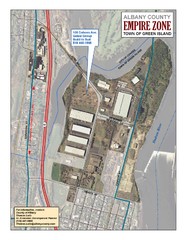
Green Island Map
Aerial town map of Green Island, New York on the Hudson River
960 miles away
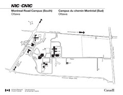
National Research Council Map
Montreal Road Campus visitor map, also in French. Provides location of campus buildings and roads.
960 miles away
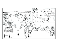
Dinosaur State Park map
Trail map of Dinosaur State Park in Connecticut.
960 miles away
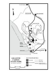
Gillette State Park trail map
Trail map of Gillette Castle State Park in Connecticut.
961 miles away
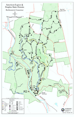
American Legion State Forest trail map
Trail map of American Legion and Peoples State Forests in Connecticut.
961 miles away
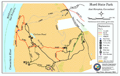
Hurd State Park trail map
Trail map for Hurd State Park in Connecticut.
961 miles away
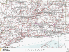
Connecticut Canoeing and Kayaking Lakes Map
A map of the lakes and ponds that are open for canoeing and kayaking in Connecticut. For detailed...
961 miles away
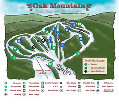
Oak Mountain Ski Center Ski Trail Map
Trail map from Oak Mountain Ski Center.
962 miles away
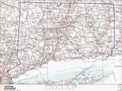
Connecticut Rock Climbing Locations Map
A map of most of the important rock climbing and bouldering areas in Connecticut. Click the link...
962 miles away
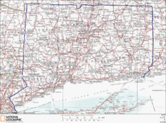
Connecticut State Parks Map
This is statewide map for Connecticut state parks. Go to the source website for detailed hiking...
962 miles away
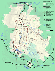
Beartown State Park Summer Map
Summer Map of Beartown State Park in Massachusetts.
962 miles away
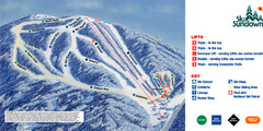
Ski Sundown Ski Trail Map
Trail map from Ski Sundown, which provides downhill and night skiing. It has 5 lifts servicing 15...
963 miles away
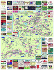
South County Berkshires map
Tourist map of Great Barrington, Housatonic, Sheffield, S. Egremont, N. Egremont Lenox, Stockbridge...
963 miles away

Rideau Hall Tour Bus Lay-By Map
963 miles away

Rideau Hall Tour Bus Parking Map
963 miles away
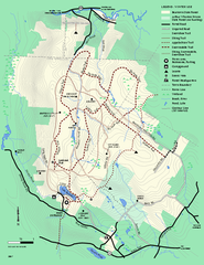
Beartown State Park Winter Map
Winter use map of Beartown State Park in Massachusetts
963 miles away

Cockaponset State Forest North Section trail map
Trail map for the north section of Cockaponset State Forest in Connecticut
963 miles away
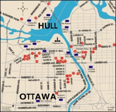
Ottawa Tourist Map
964 miles away

Ottawa Bus Tour Map
964 miles away
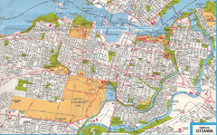
Ottawa, Ontario Tourist Map
964 miles away
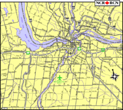
Ottawa, Ontario Tourist Map
964 miles away

