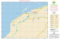
Newfoundland Trailway Park NL-007 Map
134 miles away
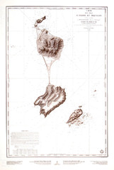
St. Pierre and Miquelon Map
135 miles away
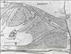
Pine Tree Ski Trail Map
Trail map from Pine Tree.
135 miles away
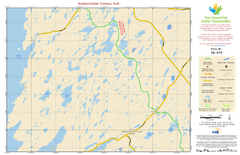
Newfoundland Trailway Park NL-040 Map
137 miles away
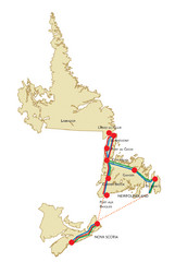
Newfoundland Map
140 miles away
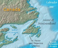
Saint Pierre and Miquelon Map
141 miles away
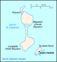
Saint Pierre and Miquelon Map
141 miles away
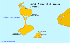
Saint Pierre and Miquelon Map
141 miles away
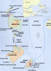
Saint Pierre and Miquelon Map
Guide to Saint Pierre and Miquelon, an overseas collectivity of France
141 miles away

Newfoundland Trailway Park NL-006 Map
141 miles away
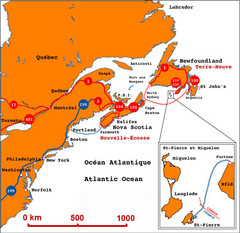
Saint Pierre and Miquelon Regional Map
Guide to the country of Saint Pierre Miquelon and the surrounding area
142 miles away
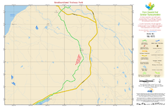
Newfoundland Trailway Park NL-005 Map
147 miles away
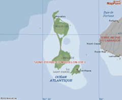
St. Pierre and Miquelon Map
147 miles away
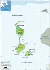
St. Pierre et Miquelon Map
148 miles away
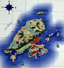
Saint Pierre Map
150 miles away
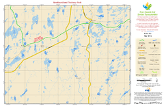
Newfoundland Trailway Park NL-041 Map
151 miles away
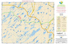
Newfoundland Trailway Park NL-042 Map
157 miles away
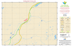
Newfoundland Trailway Park NL-004 Map
158 miles away
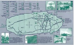
Bell Island Tourist Map
Things to do on Bell Island.
158 miles away
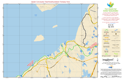
Grand Concourse Trail/Newfoundland Trailway Park...
163 miles away
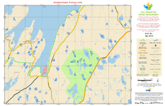
Newfoundland Trailway Park NL-043 Map
165 miles away
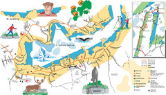
St. Anthony Tourist Map
Tourist map of town of St. Anthony, Newfoundland, Canada. Shows points of interest.
167 miles away
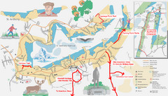
St. Anthony Canada City Map
Hiking trails drawn on the city map of St. Anthony. Map also shows motels, parks, shopping and...
168 miles away
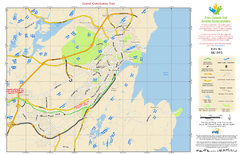
Grand Concourse Trail NL-045 Map
172 miles away
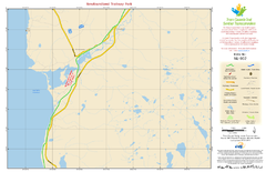
Newfoundland Trailway Park NL-002 Map
176 miles away

Newfoundland Trailway Park/Wreckhouse Trail NL...
181 miles away
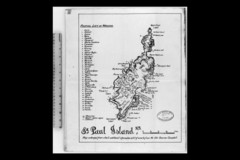
St Paul Island Wreck Map
Shipwreck map of St. Paul Island, Nova Scotia
235 miles away
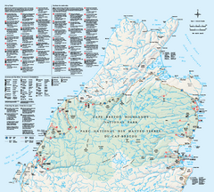
Cape Breton Highlands National Park Map
Official Parks Canada map of Cape Breton Highlands National Park, Nova Scotia. Shows hiking trails...
262 miles away
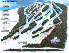
Cape Smokey Ski Lodge Ski Trail Map
Trail map from Cape Smokey Ski Lodge, which provides downhill skiing. This ski area has its own...
269 miles away
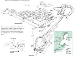
Fortress of Louisbourg Map
Map of the Fortress of Louisbourg National Historic Site, Nova Scotia
289 miles away
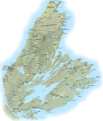
Cape Breton Island Trail Map
Trail map of Cape Breton Island
292 miles away
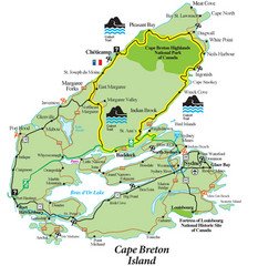
Cabot Trail Map
Map of famous Cabot Trail driving tour of Cape Breton Island, Nova Scotia. Part of the Cabot Trail...
293 miles away
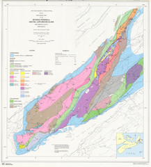
Boisedale Peninsula Map
Geological map of peninsula.
295 miles away
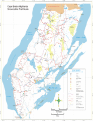
Cape Breton Highlands Snowmobile Trail Map
Trail distances in km
299 miles away
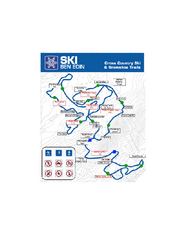
Ski Ben Eoin Nordic Ski Trail Map
Trail map from Ski Ben Eoin, which provides downhill and nordic skiing. This ski area has its own...
299 miles away
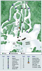
Ben Eoin Ski Trail Map
Official ski trail map of Ben Eoin ski area, Nova Scotia, Canada
299 miles away
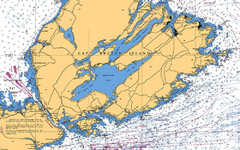
Cape Breton Island Nautical Map
Nautical map showing the Canso Strait, Isle Madame, Chedabucto Bay, and Cape Breton Island
313 miles away
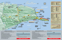
Forillon National Park Map
Official map of Forillon National Park at the tip of the Gaspe Peninsula in Quebec, Canada. Shows...
390 miles away
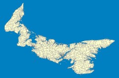
Prince Edward Island Road map
Road map of Prince Edward Island
391 miles away
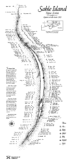
Sable Island Wreck Map
Shipwreck map of Sable Island, Nova Scotia. Known wrecks since 1583
397 miles away

