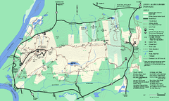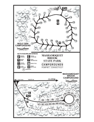
Mashamoquet Brook State Park campground map
Campground map of Mashamoquet Brook State Park in Connecticut.
924 miles away
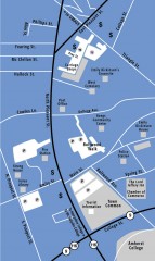
Downtown Amherst, Massachusetts Map
Tourist map of downtown Amherst, Massachusetts, showing attractions, government buildings, atms...
925 miles away
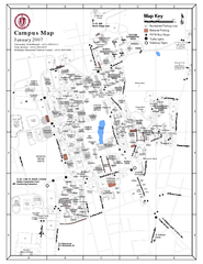
University of Massachusetts - Amherst Map
Campus Map of the University of Massachusetts - Amherst. All buildings shown.
925 miles away
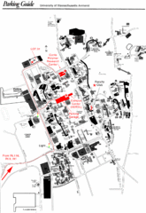
University of Massachusetts Amherst Parking Map
Map of the University of Massachusetts. Includes all buildings, streets, and parking information.
925 miles away

Palmer Motorsports Park Map
Track Map for Proposed Palmer Motorsports Park
925 miles away
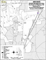
Arcadia Wildlife Management Area Map - Southeast
Reference map shows portion of Arcadia Wildlife Management Area, Rhode Island southeast of Highway...
925 miles away
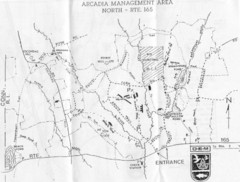
Arcadia Management Area State Map
Trail map for Arcadia Management Area in Rhode Island
926 miles away
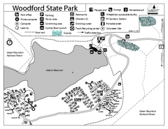
Woodford State Park Campground Map
Campground map for Woodford State Park in Vermont
927 miles away
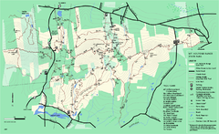
Mount Holyoke Range State Park Map
Trail map of Holyoke Range State Park.
927 miles away
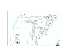
Shaftsbury State Park Map
Campground map of Shaftsbury State Park in Vermont.
928 miles away
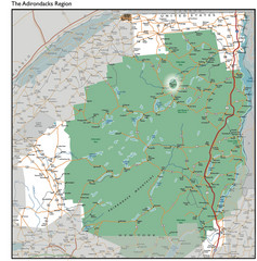
Adirondacks Lakes Map
Guide to lakes and waterways in the Adirondacks Park Preserve
929 miles away
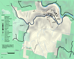
Mohawk Trail State Forest map
Map of the Mohawk Trail State Forest in Charlemont, Massachusetts.
930 miles away
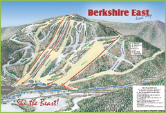
Berkshire East Ski Area Ski Trail Map
Trail map from Berkshire East Ski Area.
931 miles away
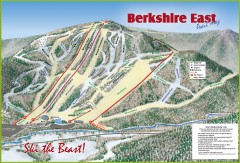
Berkshire East Ski Trail Map
Official ski trail map of Berkshire East ski area from the 2007-2008 season.
931 miles away
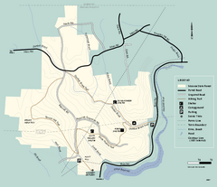
Monroe State Forest trail map
Trail map of Monroe State Forest in Massachusetts.
931 miles away
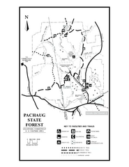
Pachaug State Forest map
Trail map of Pachaug State Forest in Connecticut.
931 miles away
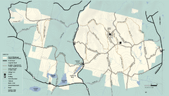
Kenneth Dubuque Memorial State Park trail map
Trail map of the Kenneth Dubuque state park conservation area in Massachusetts.
932 miles away
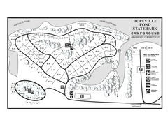
Hopeville Pond campground map
Campground map of Hopeville Pond State Park in Connecticut.
932 miles away
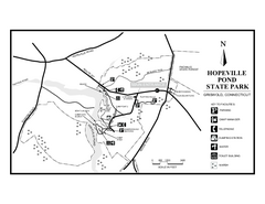
Hopeville Pond State Park trail map
Trail map for Hopevill Pond State Park in Connecticut
933 miles away
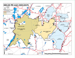
Adirondacks Canoeing Map
Guide to canoeing in the Adirondacks
933 miles away
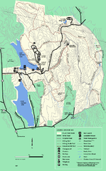
DAR State Forest summer map
Summer use map of the Daughters of the American Revolution state forest.
933 miles away
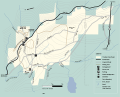
Windsor State Forest trail map
Trail map of Windsor State Forest in Massachusetts.
933 miles away
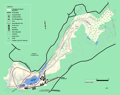
Chicopee State Park trail map
Chicopee State Park trail map
934 miles away
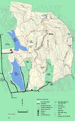
DAR State Forest winter map
Winter use map of the Daughters of the American Revolution State Forest.
934 miles away
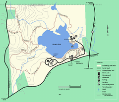
Clarksburg State Park trail map
Trail map of Clarksburg State Park in Massachusetts.
935 miles away
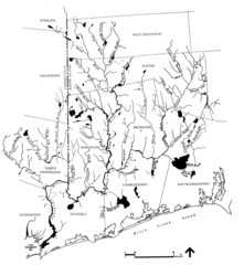
Rhode Island Coastal Watershed Map
Paddling Guide of Pawcatuck River Watershed
935 miles away
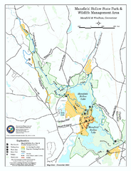
Mansfield Hollow State Park map
Map for Mansfield Hollow State Park and Wildlife Management Area in Connecticut.
936 miles away

Mansfield Cemetery Map
936 miles away
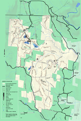
Savoy Mountail trail map
Trail map for Savoy Mountain in Massachusetts.
936 miles away
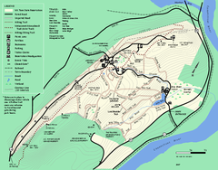
Mt. Tom State Reservation trail map
Trail map of Mt. Tom State Reservation
937 miles away
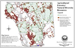
Mansfield Conservation and Development Map
Guide to Agricultural, Forestry and Natural Diversity Resources
937 miles away
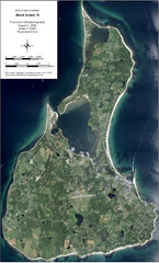
Block Island Aerial Map
Aerial map of Block Island, RI (New Shoreham, RI). True color orthophotography from August 2006.
937 miles away
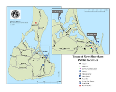
Block Island Road Map
Shows roads and major facilities on Block Island, RI (New Shoreham)
937 miles away
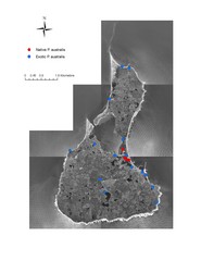
Native and Exotic Phragmites on Block Island Map
937 miles away
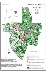
2002 Windham Region Land Use Map
Regional Land Use Guide Map for Planning Purposes
937 miles away
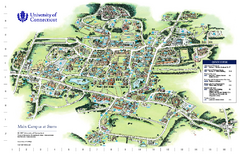
University of Connecticut - Storrs Campus Map
University of Connecticut - Storrs Campus Map. All areas shown.
937 miles away
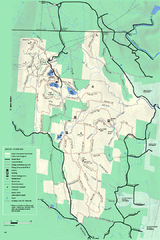
Savoy Mountain winter map
Winter use map of Savoy Mountain in Massachusetts.
937 miles away
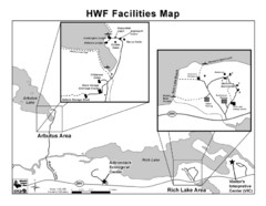
Adirondack Map
Map of Adirondack Park Reserve. Shows Rich Lake Area, Arbutus Area, and the location of the...
938 miles away
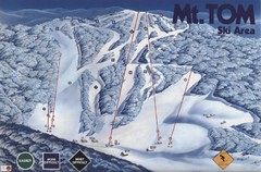
Mount Tom Ski Trail Map
Trail map from Mount Tom, which provides downhill skiing. This ski area opened in 1962.
938 miles away

