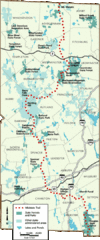
Midstate Trail Map
Map of the Midstate Trail, which runs from Ashburnham to the Rhode Island border. Shows state...
897 miles away
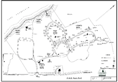
D.A.R. State Park map
Map of D.A.R. State park in Vermont
897 miles away
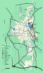
Otter River State Forest summer trail map
Summer trail map of the Otter River State Forest area in Massachusetts.
898 miles away
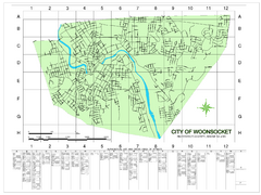
Woonsocket Street Map
Street map of Woonsocket, Rhode Island. Shows street legend.
898 miles away
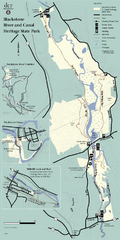
Heritage State Park Map
Clear state park map marking trails and facilities.
899 miles away
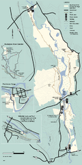
Blackstone Trail Map
Map of Blackstone River State Park in Massachusetts.
899 miles away
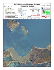
Penekese Island Eelgrass Map
899 miles away
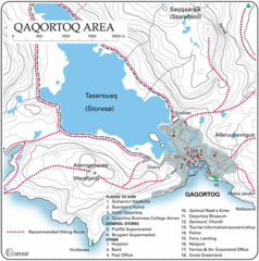
Qaqortoq City Map
Clear map and legend marking facilities, hotels, roads and more in this beautiful city.
899 miles away
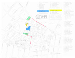
Worcester Polytechnic Institute Campus Map
Map of Worcester Polytechnic Institute. Includes all buildings, parking, streets, and location of...
900 miles away
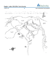
Eagle Lake Conservation Area Map
900 miles away
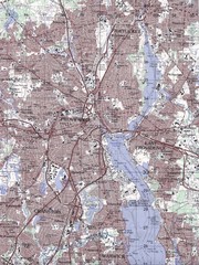
Providence Topo Map
Topo map of Providence, East Providence, Cranston, and Pawtucket, RI. Original scale 1:50,000
900 miles away
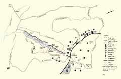
Purgatory Chasm State Reservation trail map
Trail map of Purgatory Chasm State Reservation in Massachusetts.
901 miles away
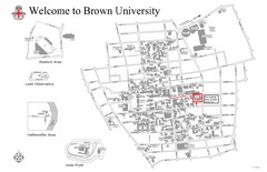
Brown University Map
902 miles away
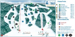
Ski Mont Rigaud Ski Trail Map
Trail map from Ski Mont Rigaud, which provides downhill skiing. This ski area has its own website.
902 miles away
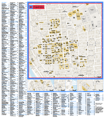
Brown University Campus Map
Official campus map of Brown University.
902 miles away
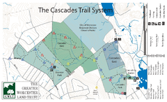
Cascades Park Map
902 miles away
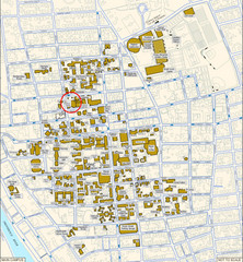
Providence, Rhode Island City Map
902 miles away
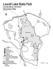
Lowell Lake State Park map
Campground map for Lowell Lake State Park in Vermont
903 miles away
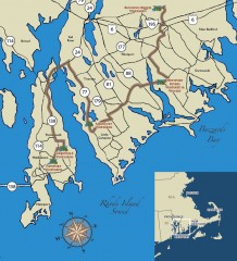
Southeastern New England Wine Trail Map
Map of the Southeastern New England Wine Trail, showing all vineyards and wineries that are members...
903 miles away
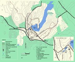
Moore State Park trail map
Trail map of Moore State Park in Massachusetts.
904 miles away
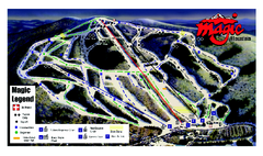
Magic Mountain Ski Trail map
Official ski trail map of Magic Mountain ski area from the 2006-2007 season.
904 miles away
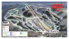
Magic Mountain Ski Trail Map
Trail map from Magic Mountain.
904 miles away
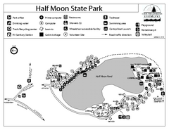
Half Moon State Park Campground Map
Campground map of Half Moon State Park in Vermont
906 miles away
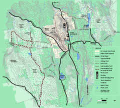
Mt. Grace State Forest trail map
Trail map of Mt. Grace State Forest near Warwick, Massachusetts.
906 miles away
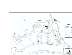
Townshend State Park Campground Map
Campground map of Townshend State Park in Vermont
906 miles away
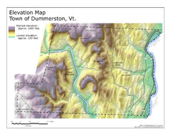
Elevation Map of Dummerston, Vermont
This Hypsometric map is a map that distinguishes elevations progression within a specific...
907 miles away
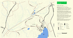
Douglas State Park Detail Map
907 miles away
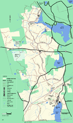
Douglas State Forest trail map
Trail map of the Douglas State Forest in Massachusetts
908 miles away
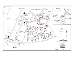
Bomoseen State Park map
Campground map of Bomoseen State Park in Vermont
908 miles away
Fort Ticonderoga 1777 Map
908 miles away
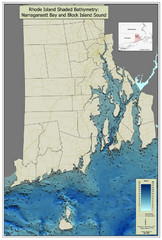
Rhode Island Shaded Bathymetry Map
Bathymetric map of Rhode Island with Narrangansett Bay and Rhode Island Sound. Graduated...
909 miles away
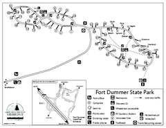
Fort Dummer State Park Campground Map
Campground map of Fort Dummer State Park in Vermont
909 miles away
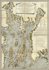
Narrangansett Bay Map 1777
"A Topographical CHART of the BAY of NARRAGANSET in the Province of NEW ENGLAND. with the...
909 miles away
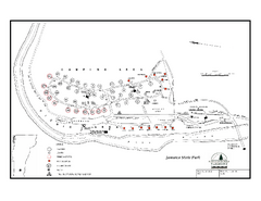
Jamaica State Park Campground Map
Campground map of Jamaica State Park in Vermont
909 miles away
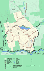
Erving State Park winter use map
Winter use map of the Erving State Park in Massachusetts
910 miles away
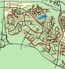
Burke Centre Area Trail Map
910 miles away

Mine Brook Wildlife Management Area Map
910 miles away
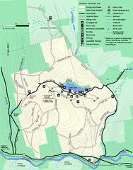
Erving Summer trail map
Summer use map of Erving State Park in Massachusetts.
910 miles away
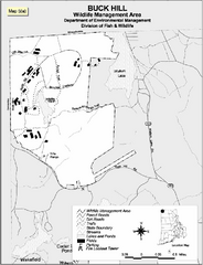
Buck Hill Wildlife Management Area Map
910 miles away

