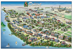
Pictorial map of Dorval
874 miles away
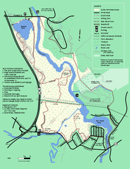
Cutler Park Reservation trail map
Trail map of Cutler Park Reservation in Massachusetts
874 miles away
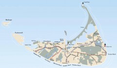
Tourist Map of Nantucket Island
Tourist map of Nantucket Island. Shows all towns and information.
875 miles away
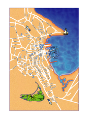
Nantucket Town Street Map
Tourist map of town of Nantucket on Nantucket Island. Shows major streets and points of interest...
875 miles away
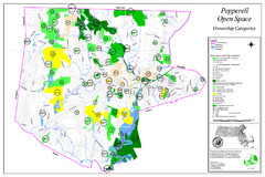
Pepperell Conservation Land and Open Spaces Map
Map showing conservation land and open spaces in Pepperell, MA.
875 miles away
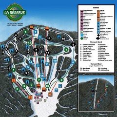
La Resérve Ski Trail Map
Trail map from La Resérve, which provides downhill skiing. This ski area has its own website.
875 miles away
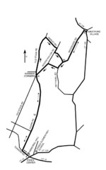
30K Race Course Map
Green Mountain Athletic Association Common to Common 30K Course Map in Essex Junction, VT
875 miles away
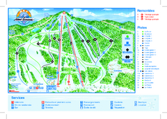
Mont Garceau Ski Trail Map
Trail map from Mont Garceau, which provides downhill and nordic skiing. This ski area has its own...
875 miles away
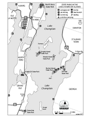
State Parks of the Champlain Islands Map
Map of the various State Parks of the Inland Sea / Lake Champlain area in Vermont
876 miles away
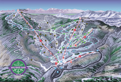
Mad River Glen Ski Trail Map
Trail map from Mad River Glen, which provides downhill skiing. It has 5 lifts servicing 45 runs...
876 miles away
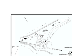
Sand Bar State Park Map
Campground map of Sand Bar State Park in Vermont
876 miles away
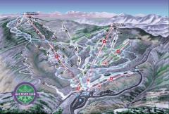
Mad River Glen Ski Area Trail Map
Official ski trail map of Mad River Glen ski area from the 2006-207 season.
876 miles away
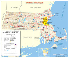
Massachusetts Road Map
877 miles away
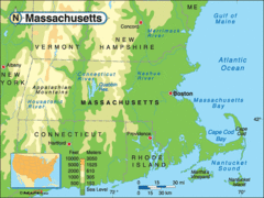
Massachusetts Rivers, Lakes, Mountains and...
877 miles away
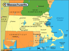
Massachusetts Cities Map
877 miles away
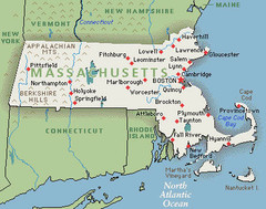
Massachusetts Cities and Mountains Map
877 miles away
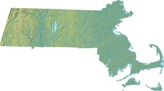
Maryland Relief Map
877 miles away
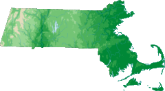
Massachusetts Elevations Map
877 miles away
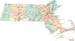
Massachusetts Road Map
877 miles away
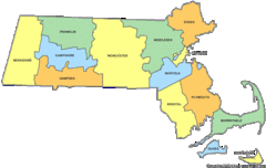
Massachusetts Counties Map
877 miles away
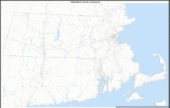
Massachusetts Zip Code Map
Check out this Zip code map and every other state and county zip code map zipcodeguy.com.
877 miles away
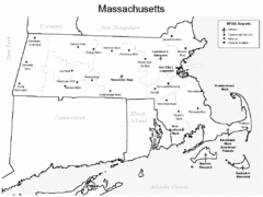
Massachusetts Airports Map
877 miles away
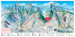
Sugarbush Resort Ski Trail Map
Trail map from Sugarbush Resort.
877 miles away
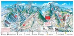
Sugarbush Resort ski trail map 2006-07
Official ski trail map of Sugarbush ski area from the 2006-2007 season.
877 miles away

Camp Morgan Trail Map
877 miles away
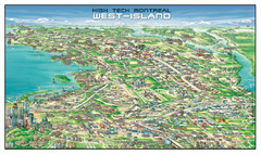
The West-Island Map
Panoramic illustration of High tech business in Montreal's West-Island
877 miles away
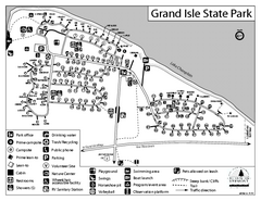
Grand Isle State Park Campground Map
Campground map for Grand Isle State Park in Vermont
877 miles away
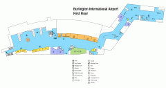
Burlington International Airport Terminal Map
Official Terminal Map of Burlington International Airport. All areas shown.
877 miles away
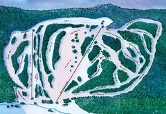
Suicide Six Ski Trail Map
Trail map from Suicide Six.
878 miles away
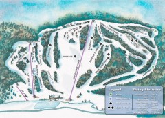
Suicide Six Ski Trail map
Ski trail map of Suicide Six ski area, owned by the Woodstock Inn in Woodstock, VT
878 miles away
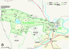
Marsh-Billings-Rockefeller National Historical...
Official NPS map of Marsh-Billings-Rockefeller National Historical Park in Vermont. Shows all areas...
878 miles away
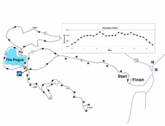
Mt. Tom road to the Pogue race course map
View Course Map and Elevations for the Mt. Tom road to the Pogue 6.1 mile run in Woodstock, VT.
878 miles away
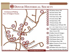
Dover Architectural Walking Map
Architectural walking tour of Hodgson Houses
878 miles away
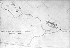
1870s Map of Wellesley College
General plan of college grounds, 1870s.
878 miles away
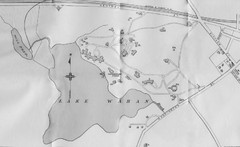
1899 Map of Wellesley College
After College Hall, the original site of Wellesley's faculty, students, classrooms, and...
878 miles away
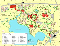
Wellesley College campus map
2008 Wellesley College campus map
878 miles away
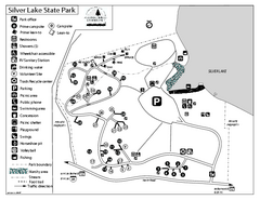
Silver Lake State Park Campground Map
Campground map of Silver Lake State Park in Vermont
878 miles away
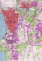
Burlington Vt 87 Map
Topographical map of the city of Burlington, Vt.
879 miles away
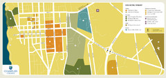
Burlington, Vermont City Tourist Map
The city of Burlington, Vermont
879 miles away
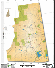
Temple NH Topo Map
Topographical map of Temple, NH area. Shows all roads and points of interest.
879 miles away

