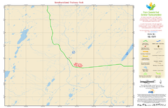
Newfoundland Trailway Park NL-019 Map
181 miles away
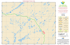
Newfoundland Trailway Park NL-018 Map
186 miles away
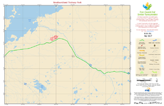
Newfoundland Trailway Park NL-017 Map
198 miles away
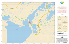
Newfoundland Trailway Park NL-016 Map
207 miles away
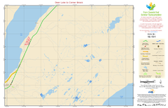
Deer Lake to Corner Brook NL-014 Map
216 miles away
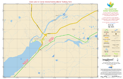
Deer Lake to Corner Brook/Newfoundland Trailway...
218 miles away
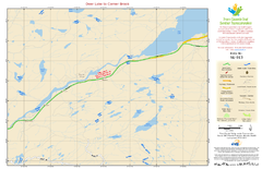
Deer Lake to Corner Brook NL-013 Map
220 miles away
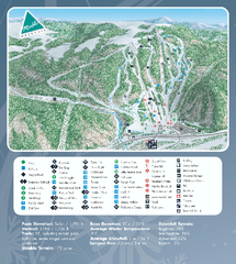
Marble Mountain Ski Trail Map
Official ski trail map of Marble Mountain ski area in Newfoundland from the 2007-2008 season.
226 miles away
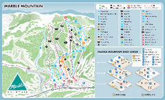
Marble Mountain Ski Trail Map
Trail map from Marble Mountain, which provides downhill skiing. This ski area has its own website.
227 miles away
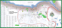
Corner Brook Map
City map of Corner Brook, Newfoundland in the Humber Valley region.
232 miles away
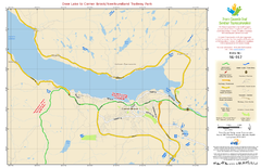
Deer Lake to Corner Brook/Newfoundland Trailway...
233 miles away
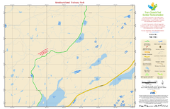
Newfoundland Trailway Park NL-011 Map
233 miles away
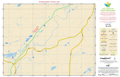
Newfoundland Trailway Park NL-009 Map
236 miles away
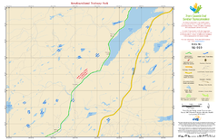
Newfoundland Trailway Park NL-010 Map
236 miles away
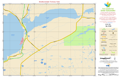
Newfoundland Trailway Park NL-008 Map
239 miles away
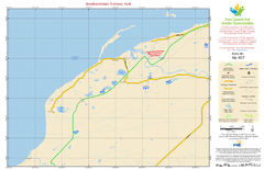
Newfoundland Trailway Park NL-007 Map
245 miles away

Newfoundland Trailway Park NL-006 Map
247 miles away
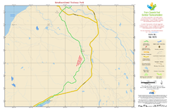
Newfoundland Trailway Park NL-005 Map
248 miles away
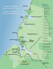
Gros Morne National Park Map
Shows campgrounds and trails in Gros Morne National Park, Newfoundland, Canada. In French and...
251 miles away
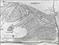
Pine Tree Ski Trail Map
Trail map from Pine Tree.
253 miles away
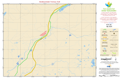
Newfoundland Trailway Park NL-004 Map
254 miles away

Newfoundland Trailway Park/Wreckhouse Trail NL...
264 miles away
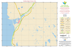
Newfoundland Trailway Park NL-002 Map
265 miles away
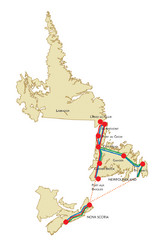
Newfoundland Map
291 miles away
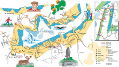
St. Anthony Tourist Map
Tourist map of town of St. Anthony, Newfoundland, Canada. Shows points of interest.
292 miles away
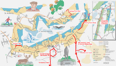
St. Anthony Canada City Map
Hiking trails drawn on the city map of St. Anthony. Map also shows motels, parks, shopping and...
292 miles away
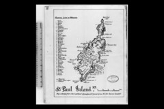
St Paul Island Wreck Map
Shipwreck map of St. Paul Island, Nova Scotia
311 miles away
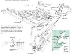
Fortress of Louisbourg Map
Map of the Fortress of Louisbourg National Historic Site, Nova Scotia
323 miles away
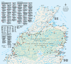
Cape Breton Highlands National Park Map
Official Parks Canada map of Cape Breton Highlands National Park, Nova Scotia. Shows hiking trails...
327 miles away
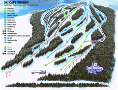
Cape Smokey Ski Lodge Ski Trail Map
Trail map from Cape Smokey Ski Lodge, which provides downhill skiing. This ski area has its own...
329 miles away
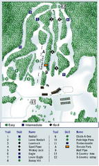
Ben Eoin Ski Trail Map
Official ski trail map of Ben Eoin ski area, Nova Scotia, Canada
341 miles away
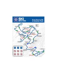
Ski Ben Eoin Nordic Ski Trail Map
Trail map from Ski Ben Eoin, which provides downhill and nordic skiing. This ski area has its own...
342 miles away
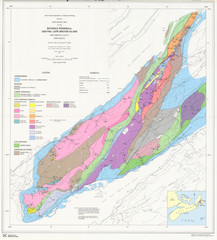
Boisedale Peninsula Map
Geological map of peninsula.
343 miles away
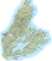
Cape Breton Island Trail Map
Trail map of Cape Breton Island
345 miles away
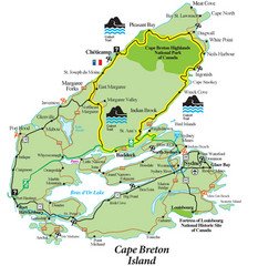
Cabot Trail Map
Map of famous Cabot Trail driving tour of Cape Breton Island, Nova Scotia. Part of the Cabot Trail...
349 miles away
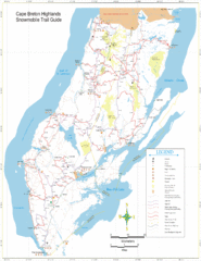
Cape Breton Highlands Snowmobile Trail Map
Trail distances in km
352 miles away
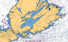
Cape Breton Island Nautical Map
Nautical map showing the Canso Strait, Isle Madame, Chedabucto Bay, and Cape Breton Island
357 miles away
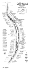
Sable Island Wreck Map
Shipwreck map of Sable Island, Nova Scotia. Known wrecks since 1583
388 miles away
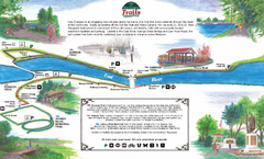
New Glasglow Town Trail Map
Walking trail map of trails in New Glasglow, Nova Scotia. Shows 3 trails: Samson Trail, Pioneer...
451 miles away
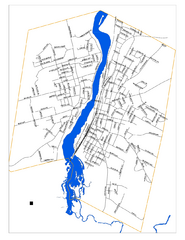
New Glasglow Street Map
Street map of town of New Glasglow, Nova Scotia
451 miles away

