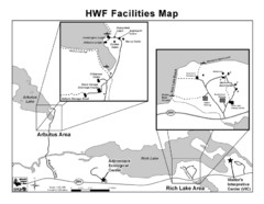
Adirondack Map
Map of Adirondack Park Reserve. Shows Rich Lake Area, Arbutus Area, and the location of the...
1011 miles away
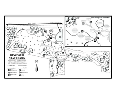
Dinosaur State Park map
Trail map of Dinosaur State Park in Connecticut.
1011 miles away
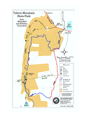
Talcott Mountain State Park map
Trail map of Talcott Mountain State Park in Connecticut.
1011 miles away
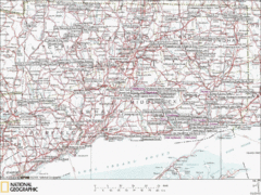
Connecticut Canoeing and Kayaking Lakes Map
A map of the lakes and ponds that are open for canoeing and kayaking in Connecticut. For detailed...
1011 miles away
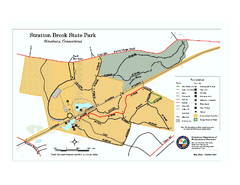
Stratton Brook State Park map
Trail map of Stratton Brook State Park in Connecticut.
1012 miles away
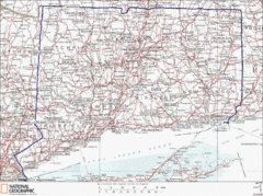
Connecticut State Parks Map
This is statewide map for Connecticut state parks. Go to the source website for detailed hiking...
1012 miles away
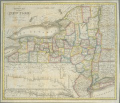
1831 Antique New York State map
The tourist's map of the state of New York : compiled from the latest authorities in the...
1012 miles away

Cockaponset State Forest North Section trail map
Trail map for the north section of Cockaponset State Forest in Connecticut
1012 miles away
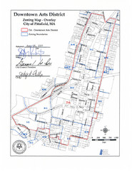
Pittsfield,, Massachusetts City Map
1012 miles away
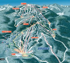
Gore Mountain Ski Trail Map
Official ski trail map of Gore Mountain ski area from the 2007-2008 season.
1012 miles away
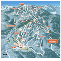
Gore Mountain Ski Trail Map
Trail map from Gore Mountain.
1012 miles away
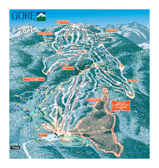
Gore Mountain Ski Trail Map
Trail map from Gore Mountain.
1012 miles away
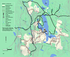
Tolland State Forest winter trail map
Winter usage trail map of the Tolland State Forest area in Massachusetts.
1012 miles away
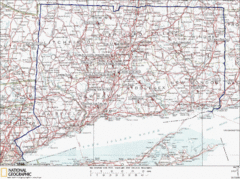
Connecticut Rock Climbing Locations Map
A map of most of the important rock climbing and bouldering areas in Connecticut. Click the link...
1012 miles away

Cockaponset State Forest South Section trail map
Trail map for the South Section of Cockaponset State Forest in Connecticut.
1013 miles away
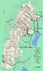
Pittsfield State Forest winter trail map
Winter use trail map of Pittsfield State Forest in Massachusetts.
1013 miles away
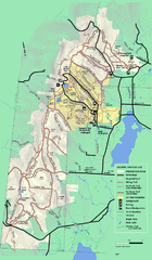
Pittsfield State Forest summer trail map
Summer use trail map of Pittsfield State Forest in Massachusetts.
1013 miles away
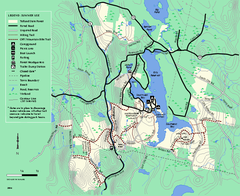
Tolland State Forest summer trail map
Summer use map for Tolland State Forest in Massachusetts.
1013 miles away
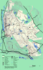
October Mountain State Forest trail map
Trail map of October Mountain State Forest in Massachusetts.
1013 miles away
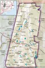
Berkshires Map
Overview map of the Berkshires region of Western Massachusetts
1014 miles away
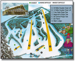
Bousquet Ski Area Ski Trail Map
Trail map from Bousquet Ski Area.
1014 miles away
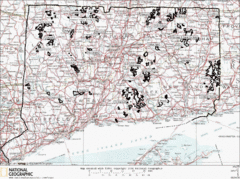
Connecticut State Forests Map
This is a map of all of the state forest boundaries in Connecticut. Follow the source web address...
1014 miles away
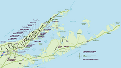
Long Island Wineries Map
Map of LIWC member wineries offering wine tastings to the public.
1015 miles away
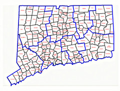
Connecticut Town Map
1015 miles away
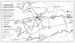
Lenox Town Map
Hand-drawn town map of Lenox, Mass. Bordered by Lenox Mountain and October Mountain. Shows points...
1015 miles away
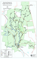
American Legion State Forest trail map
Trail map of American Legion and Peoples State Forests in Connecticut.
1015 miles away
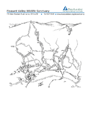
Pleasant Valley Wildlife Sanctuary Trail Map
Trail map of Pleasant Valley Wildlife Sanctuary
1016 miles away
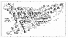
Lenox Village Map
Hand-drawn village map of historic center of Lenox, Massachusetts
1016 miles away
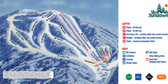
Ski Sundown Ski Trail Map
Trail map from Ski Sundown, which provides downhill and night skiing. It has 5 lifts servicing 15...
1016 miles away
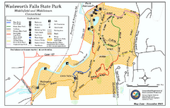
Wadsworth Falls State Park map
Trail map of Wadsworth Falls State Park in Connecticut.
1017 miles away
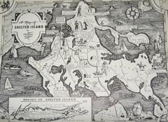
Shelter Island Map
Old Shelter Island map circa 1930s
1017 miles away
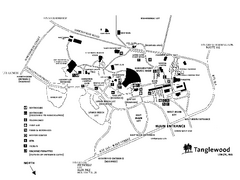
Tanglewood Map
Detailed map of the Tanglewood grounds that includes the location of the Box Office, Friends Office...
1017 miles away
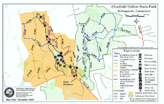
Chatfield Hollow State Park map
Trail map of Chatfield Hollow State Park
1018 miles away
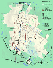
Beartown State Park Summer Map
Summer Map of Beartown State Park in Massachusetts.
1019 miles away

Hammonasset Beach State Park map
Trail map for Hammonasset Beach State Park in Connecticut.
1020 miles away
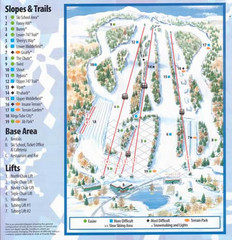
Powder Ridge Ski Area Ski Trail Map
Trail map from Powder Ridge Ski Area.
1020 miles away
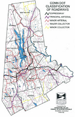
Connecticut Roadway Classification Map
1020 miles away

Hammonasset Beach State Park campground map
Campground map of Hammonasset State Park in Connecticut.
1020 miles away
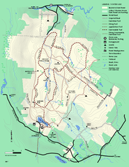
Beartown State Park Winter Map
Winter use map of Beartown State Park in Massachusetts
1020 miles away


